What are the main attractions to see in Antequera?
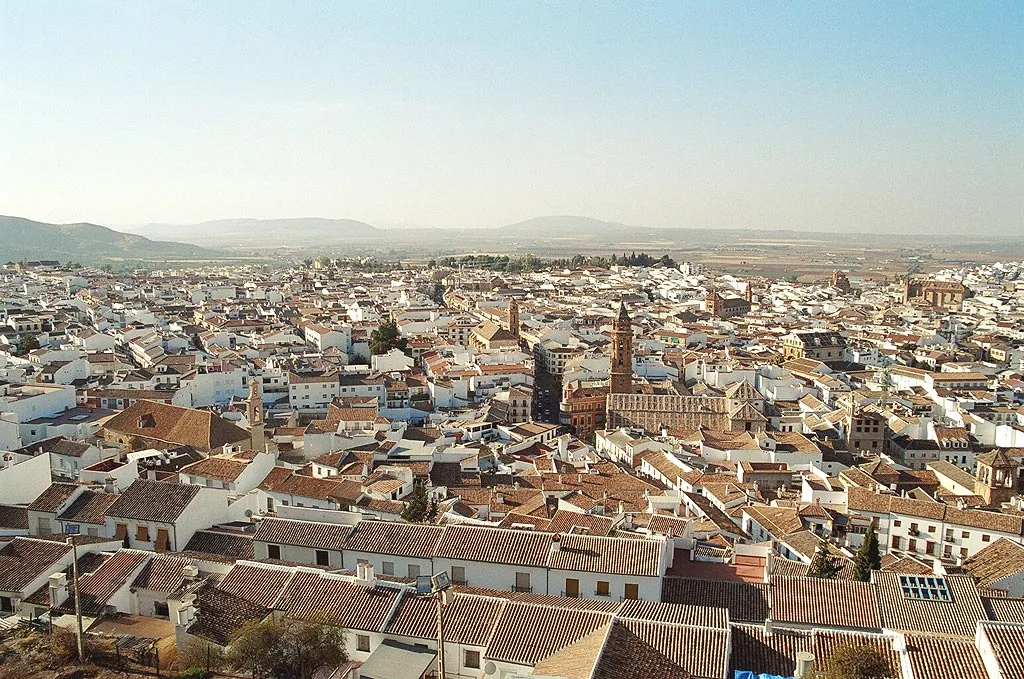
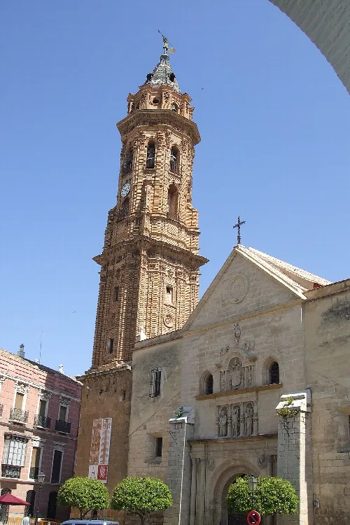
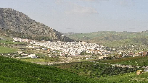
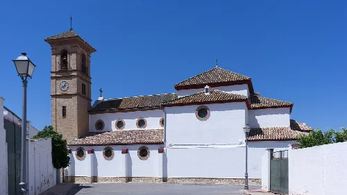
Antequera boasts several key attractions, including the UNESCO-listed Antequera Dolmens Site, which features ancient burial mounds. The Alcazaba, a Moorish fortress, offers stunning views. Additionally, the Real Colegiata de Santa María la Mayor showcases impressive architecture. Nature lovers can explore El Torcal, known for its unique limestone formations and hiking trails.
Sights
How can I get to Antequera from Málaga?
Antequera is conveniently located about 45 km from Málaga. You can reach it via the A-45 motorway, which connects the two cities. Additionally, high-speed trains operate between Málaga and Antequera, making travel quick and efficient.
Getting there
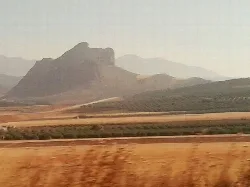
What is the significance of Peña de los Enamorados?
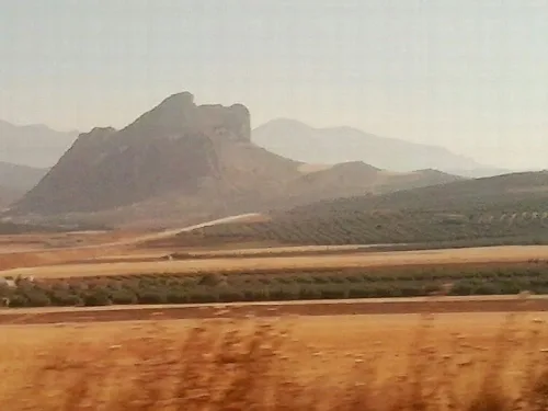
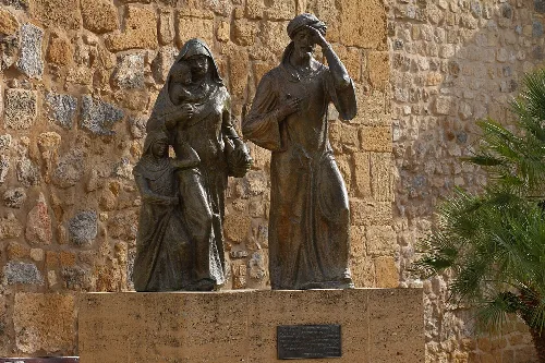
Peña de los Enamorados, or Lovers' Rock, is a notable landmark near Antequera, steeped in legend. It is said to be the site where two young lovers from rival clans jumped to their deaths to escape their families. This romantic story has inspired poetry and art, making it a cultural symbol of the area.
History
Peña de los Enamorados
What can you tell me about the food in Antequera?
Antequera's cuisine reflects its agricultural heritage, featuring local products like olive oil, cereals, and vegetables. Traditional dishes include porra antequerana, a cold tomato soup, and various tapas made with local ingredients. The region is also known for its excellent wines and desserts, such as the sweet pastry known as 'tortas de aceite.'
Food & drink
Are there any annual events or festivals in Antequera?
Antequera hosts several annual events, including Semana Santa (Holy Week), which features elaborate processions. The Feria de Antequera, held in August, celebrates local culture with music, food, and traditional activities. Additionally, the city celebrates the Festival of San Isidro in May, honoring the patron saint of farmers.
Festivals & events
What is the history behind the Dólmen de Menga?
The Dólmen de Menga is one of the largest burial mounds in Europe, dating back to the third millennium BCE. It was constructed with massive megaliths and served as a grave for ruling families. Its historical significance lies in its architectural complexity and its role in the Bronze Age burial practices of the region.
History
Dólmen de Menga
What is the climate like in Antequera?
Antequera experiences a Mediterranean climate characterized by hot summers and mild winters. Summers can be quite warm, with temperatures often exceeding 30°C (86°F), while winters are cooler, typically ranging from 5°C to 15°C (41°F to 59°F). Rainfall is more common in the spring and autumn months.
Practical
For residents
What are the best outdoor activities in Antequera?
Antequera offers a variety of outdoor activities, particularly in the natural reserve of El Torcal, where hiking trails allow you to explore unique limestone formations. The nearby Fuente de Piedra Lagoon is also great for birdwatching, especially for spotting flamingos. Cycling and horseback riding are popular ways to enjoy the surrounding countryside.
Nature
How is the public transport system in Antequera?
Antequera has a well-connected public transport system, including two railway stations: Antequera-Ciudad and Antequera-Santa Ana. These stations provide access to regional and high-speed trains. Local buses serve the city and surrounding areas, making it convenient for residents and visitors to navigate the region.
Practical
For residents
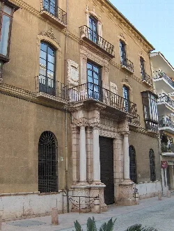
What is the architectural style of the Palacio de Villadarias?
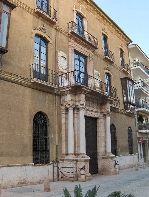
The Palacio de Villadarias showcases a blend of architectural styles, primarily reflecting the Baroque influence. Its ornate façade features decorative elements and columns, typical of the period. This palace is a notable example of the historical architecture found in Antequera, contributing to the city's rich cultural heritage.
Sights
Palacio de Villadarias
 espana.net