espana.net
 Pinedopaul, Public domain
Castile and León
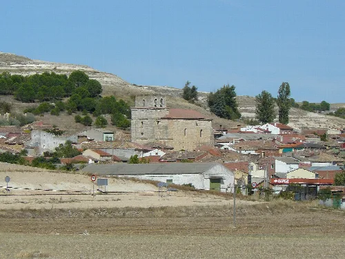
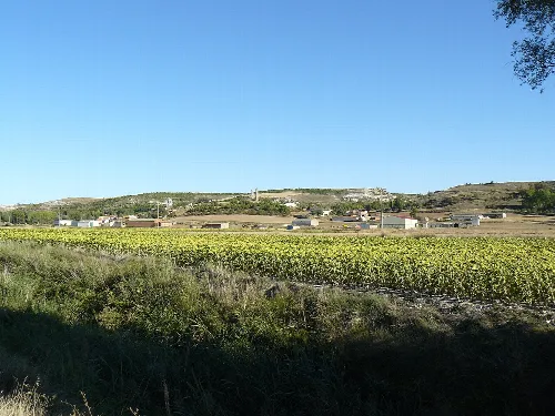
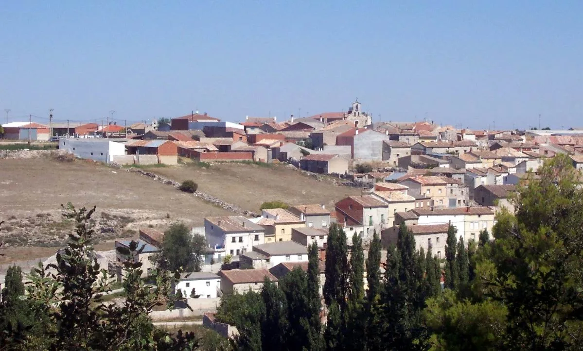
Hérmedes de Cerrato is a municipality located in the province of Palencia, within the autonomous community of Castile and León. Characterized by its agricultural and pastoral traditions, it features a rich historical background and a unique landscape shaped by its valleys and arroyos.
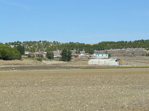
Nestled on the northern slope of the valley traversed by the Maderón stream, Hérmedes de Cerrato is bordered by several municipalities including Cevico Navero and Villaconancio to the north. The area is characterized by its elevation of approximately 908 meters above sea level and encompasses a diverse landscape featuring valleys and extensive plains.
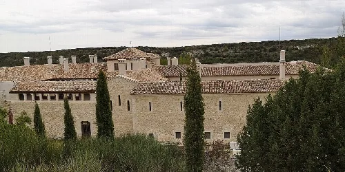
The name Hérmedes is derived from the Latin word "eremitae," meaning hermit. The region was repopulated in the late 9th century after being reclaimed from Muslim rule, primarily by settlers from northern Spain and Mozarabs. The establishment of the local abbey in the 11th century marked a significant development in its history.
Hérmedes de Cerrato is a small municipality in Palencia known for its agricultural heritage and historical significance.
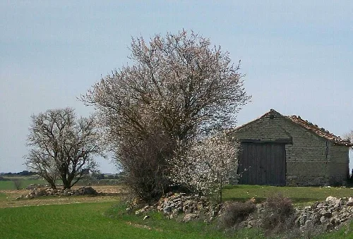
Today, Hérmedes de Cerrato primarily engages in agriculture and livestock farming. Historically, it served as a resting place for transhumant shepherds due to the Cañada Real Burgalesa, which facilitated the movement of livestock across regions.
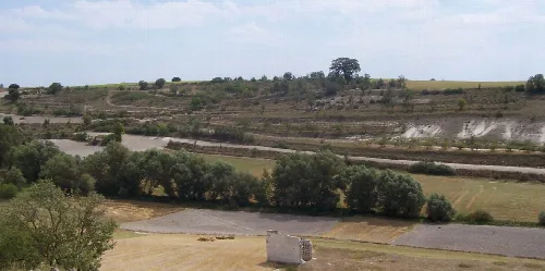
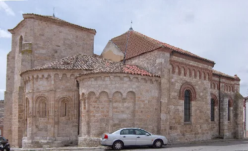
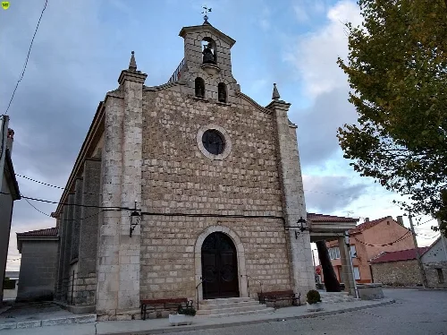
The municipality is home to several notable sites, including the 10th-century hermitage of Virgen de la Era, which features a unique Mozarabic architectural style. Additionally, the Mata Fombellida, a centuries-old oak tree, serves as a natural landmark and symbol for the community.
Own text, written with AI assistance from the facts in Wikipedia · Hérmedes de Cerrato · Data: Wikidata Q1918894 · Photos: Wikimedia Commons, see individual licenses. · CC BY-SA 4.0