espana.net
 Vgarciagonza, CC BY-SA 4.0
Castile and León
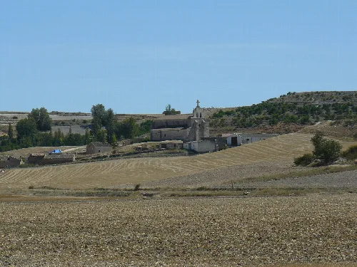
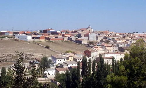
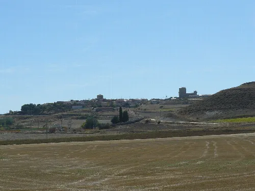
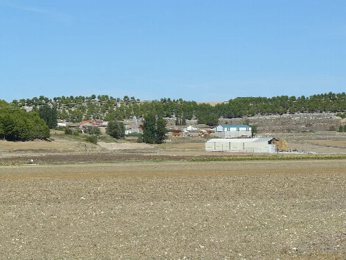
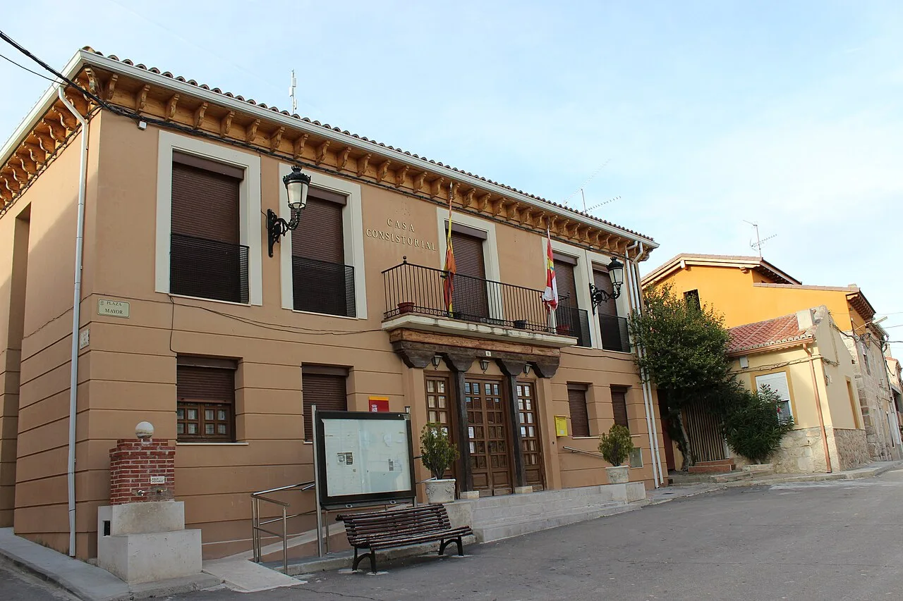
Castroverde de Cerrato is a municipality located in the province of Valladolid, within the autonomous community of Castile and León. Characterized by its rich history and notable architecture, it features remnants of ancient settlements and a medieval castle.
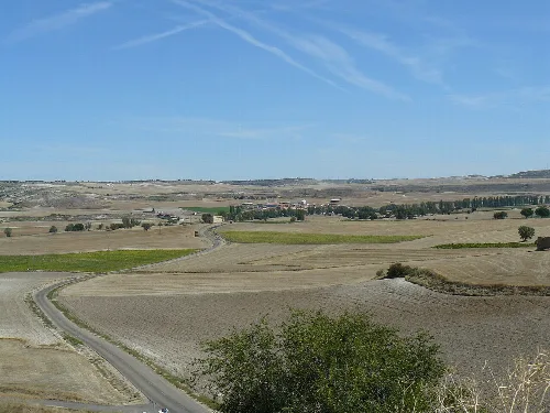
Situated in the Esgueva Valley, Castroverde de Cerrato is part of the El Cerrato comarca and the judicial district of Valladolid. The municipality shares borders with Palencia to the north, Villaco and Torre de Esgueva to the west, Valbuena de Duero to the south, and Torre de Esgueva and Fombellida to the east. The area is historically significant, with evidence of ancient human settlements and Roman villas.
In the Late Middle Ages, Castroverde de Cerrato was part of the Meryndat of Çerrato, noted in the Becerro de las Behetrías de Castilla. It developed into an administrative center, overseeing several surrounding villages. The remnants of a 9th-century fortified structure and its role as the capital of the Castroverde council in the 16th century highlight its historical significance.
Discover Castroverde de Cerrato, a historic municipality in Valladolid known for its ancient roots and architectural heritage.
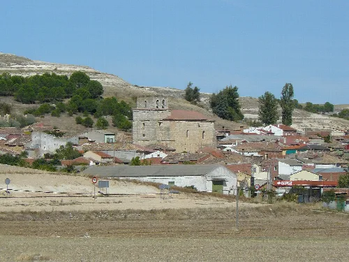
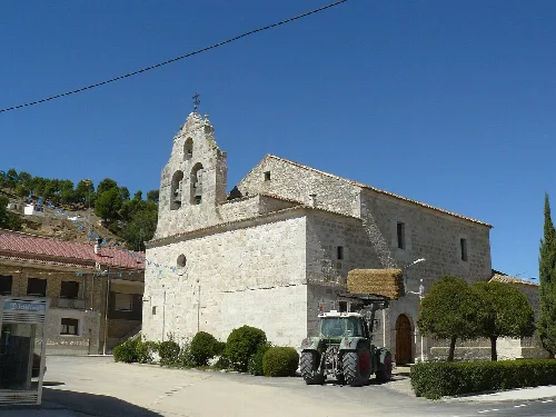
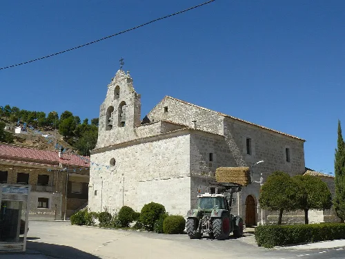
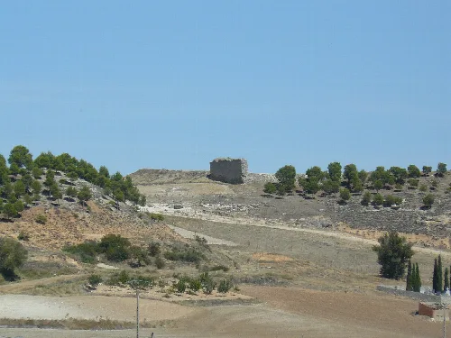
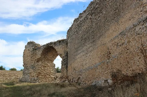
Castroverde de Cerrato is home to several notable structures, including the neoclassical Iglesia de Nuestra Señora de la Asunción, built in 1807, and the remnants of the medieval castle. The Arco de Santa Clara, part of the castle's walls, is also a significant landmark.
Own text, written with AI assistance from the facts in Wikipedia · Castroverde de Cerrato · Data: Wikidata Q1907177 · Photos: Wikimedia Commons, see individual licenses. · CC BY-SA 4.0