espana.net
 Hovallef, CC BY-SA 4.0
Castile and León
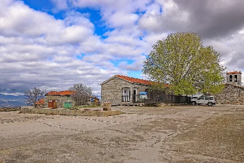
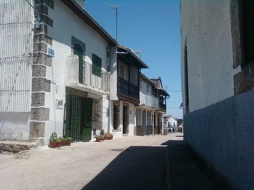
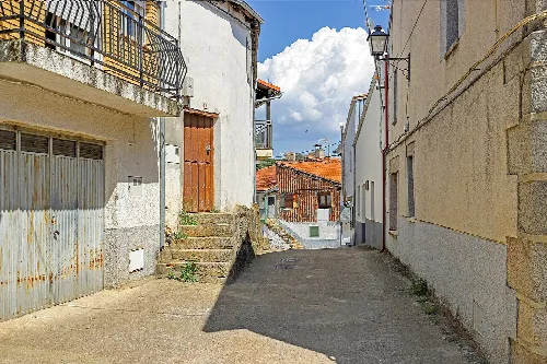
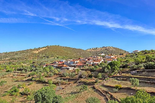
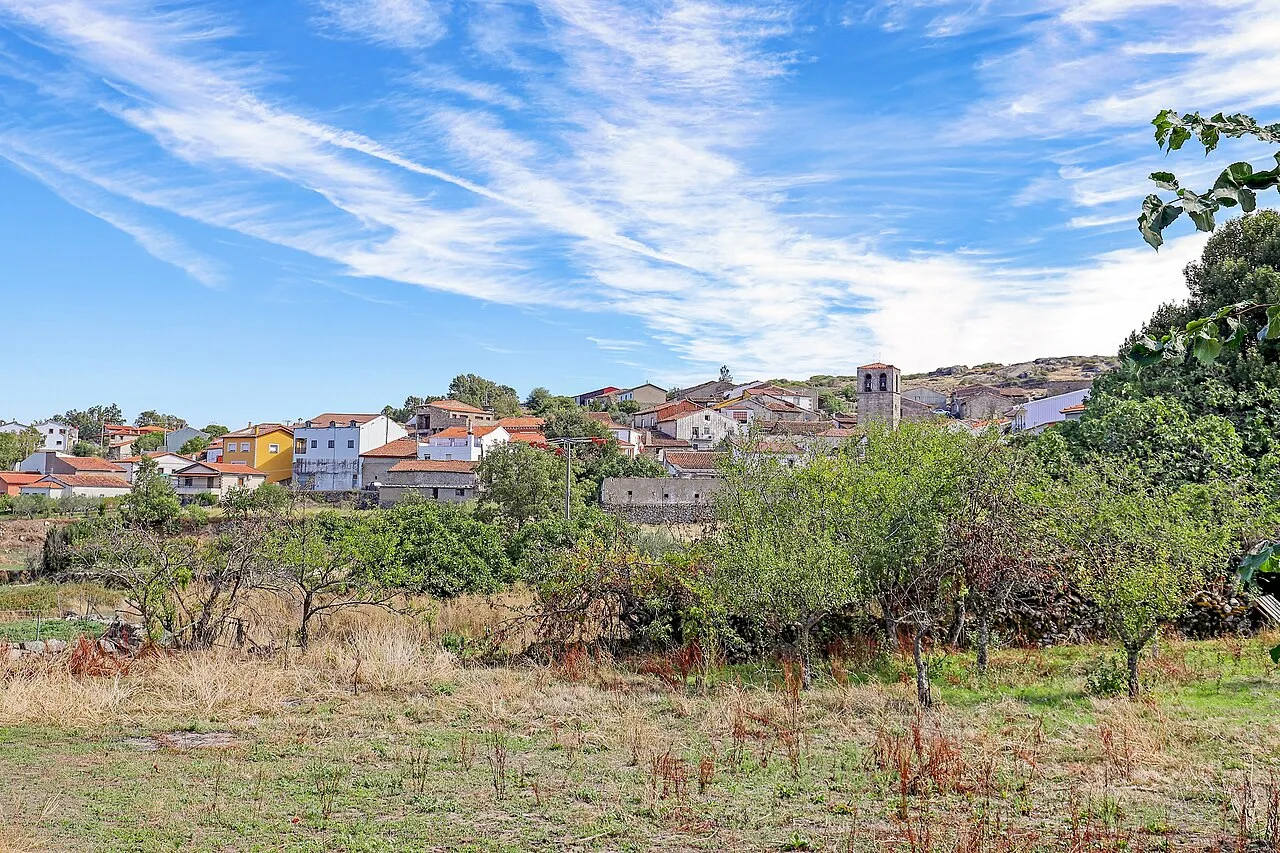
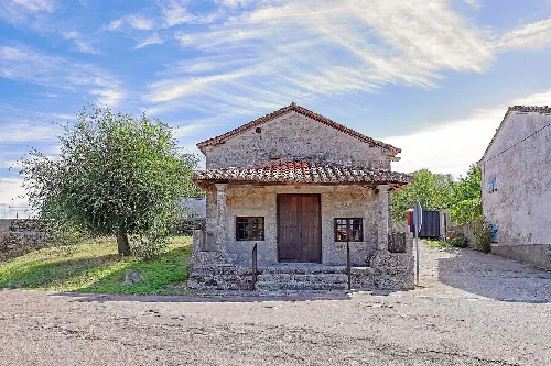
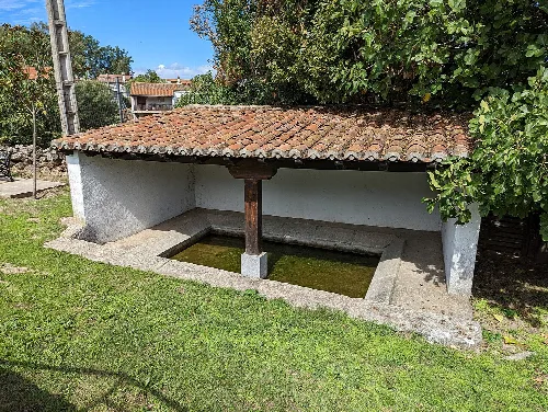
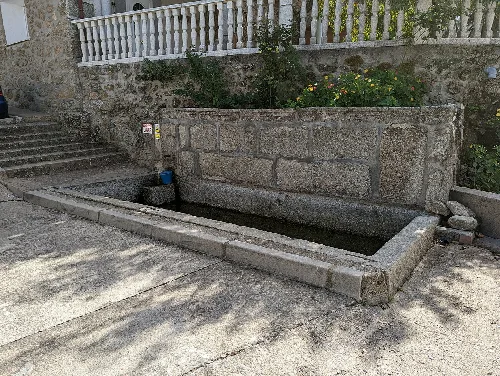
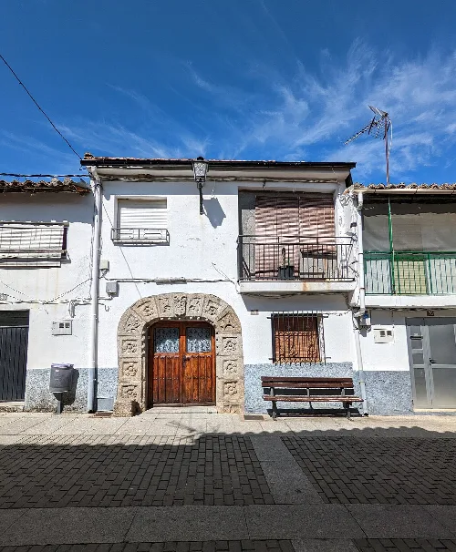
Colmenar de Montemayor is a municipality located in the province of Salamanca, within the autonomous community of Castile and León. Characterized by its mountainous geography and rich agricultural land, it has a small population and a history that dates back to the 13th century.
Colmenar de Montemayor is situated in the foothills of the Sierra de Béjar, featuring notable elevations such as Cerro Felipe, which is the highest point in the municipality. The area is characterized by its rocky terrain, primarily composed of granite and basalt, which has formed impermeable soils ideal for agriculture. The municipality is bordered by several other towns, including Pinedas and Cristóbal de la Sierra.
The origins of Colmenar de Montemayor trace back to its repopulation by King Alfonso IX of León around 1227, when it became part of the Montemayor del Río council. The name 'Colmenar' likely derives from the presence of beehives in the area. Over the centuries, the town has experienced various historical events, including the presence of Augustinian friars from the 16th to 19th centuries.
Colmenar de Montemayor is a small municipality in Salamanca, known for its mountainous terrain and rich agricultural heritage.
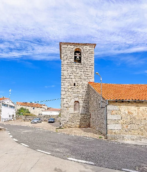
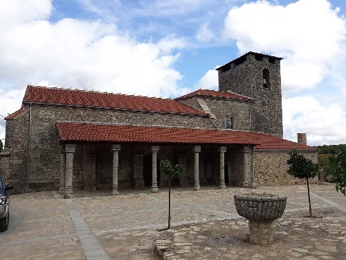
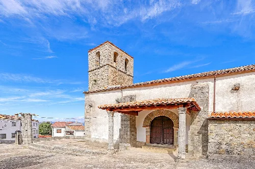
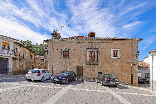
The economy of Colmenar de Montemayor relies on agriculture, particularly the cultivation of cereals, vines, and olives, supported by its fertile volcanic soil. Livestock farming, especially cattle, is also significant in the area. The municipality is home to several historical sites, including the Church of Nuestra Señora de la Asunción and the Casa del Hidalgo.
Own text, written with AI assistance from the facts in Wikipedia · Colmenar de Montemayor · Data: Wikidata Q1640815 · Photos: Wikimedia Commons, see individual licenses. · CC BY-SA 4.0