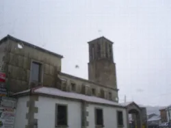
What is the white building on the hill in Vallejera de Riofrío?
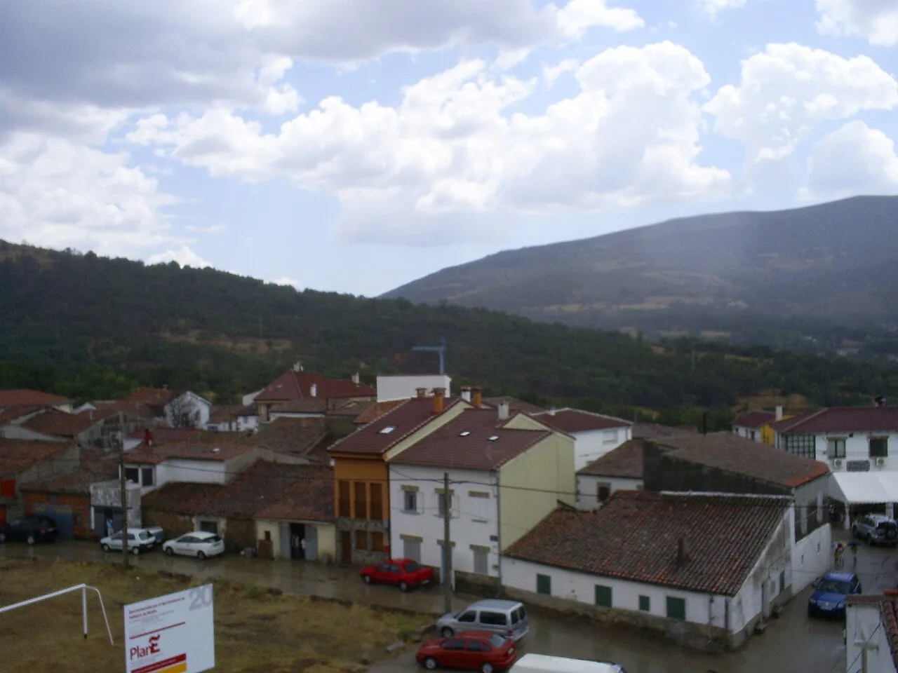
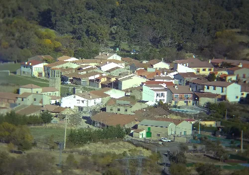
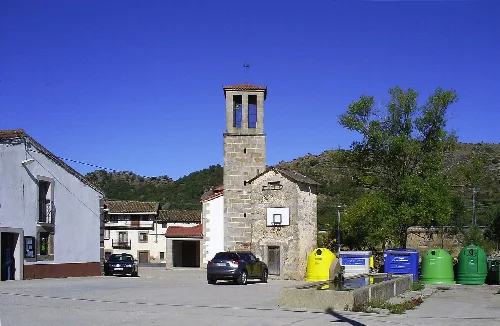
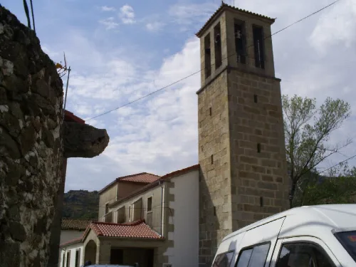
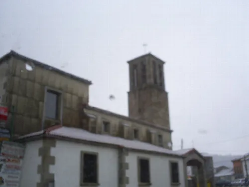
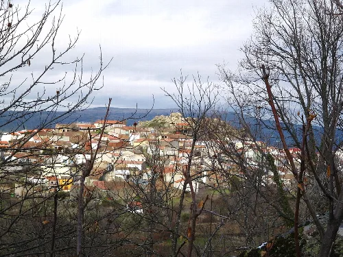
The white building is the Iglesia de Ntra. Sra. de la Encarnación and San Roque, located at the entrance of the village. Built between 1880 and 1890, it features three naves and a campanario made of granite stones that reaches 15 meters high. The church is significant for its local traditions and has undergone restoration between 2009 and 2011.
Sights
Iglesia de Ntra. Sra. de la Encarnación and San Roque
What can you tell me about the climate in Vallejera de Riofrío?
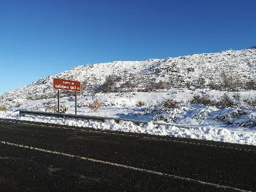
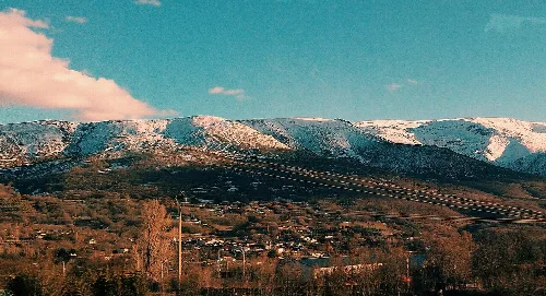
Vallejera de Riofrío has an oceanic-continental climate, characterized by very cold and rainy winters with frequent snow. Spring is cool, while summers are hot and dry but short. Autumn brings more rain and cooler temperatures. The average annual temperature is around 9.45 °C, making it notably colder than many other areas in Spain.
Nature
Are there any hiking routes in Vallejera de Riofrío?
Yes, Vallejera de Riofrío offers several hiking routes. One popular option is the Ruta de los tres pueblos, which is easy and about 6.04 km long. It connects Vallejera to nearby villages and allows hikers to enjoy the beautiful landscapes of the Sierra de Béjar.
Nature
What are the Fiestas del Cristo about?
The Fiestas del Cristo are celebrated on the second weekend of May in Vallejera de Riofrío. The main event is a procession featuring the Cristo de Vallejera, accompanied by a cherry tree adorned with treats like cookies and fruit, which are enjoyed by the community after the religious ceremony.
Festivals & events
How does the local economy work in Vallejera de Riofrío?
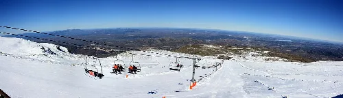
The economy of Vallejera de Riofrío primarily relies on tourism, especially due to its proximity to the Sierra de Béjar-La Covatilla ski resort. Many residents work in construction and hospitality, with more accommodation options available than the local population, catering mainly to winter tourists.
Living there
For residents
What is the Dehesa de Vallejera?
The Dehesa de Vallejera is one of the largest meadows in the municipality, located near Béjar. It covers approximately 75 hectares and is used for grazing cattle. Historically, it was a common area for local herders, although its use has declined over time.
Nature
For residents
What historical significance does Vallejera de Riofrío have?
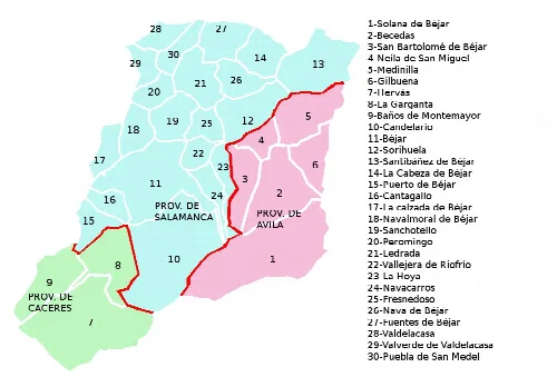
Vallejera de Riofrío has a rich history, having been part of the Comunidad de Villa y Tierra de Béjar since 1219. The village was previously known as Vallegera de Béjar and has connections to significant events like the Battle of Las Navas de Tolosa, impacting its historical development.
History
For residents
What are the main trees found in Vallejera de Riofrío?
The predominant tree in Vallejera de Riofrío is the chestnut, comprising nearly 60% of the local forest. The region is known for its extensive chestnut groves, which are among the largest in Europe, along with other species like oaks, pines, and beeches.
Nature
For residents
How do I get to Vallejera de Riofrío?
Vallejera de Riofrío is well-connected by road, intersected by the N-630 national road and the Autovía Ruta de la Plata. This allows for easy access to and from the municipality, making it convenient for visitors traveling from nearby cities.
Getting there
What is the significance of the campanario in Vallejera de Riofrío?
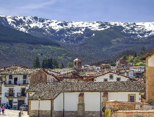
The campanario of the Iglesia de Ntra. Sra. de la Encarnación is notable for its granite construction and height of 15 meters. It houses two bells and a weathervane, serving as a prominent feature of the village's skyline and a symbol of local heritage.
Sights
Iglesia de Ntra. Sra. de la Encarnación and San Roque
 espana.net