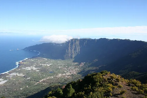
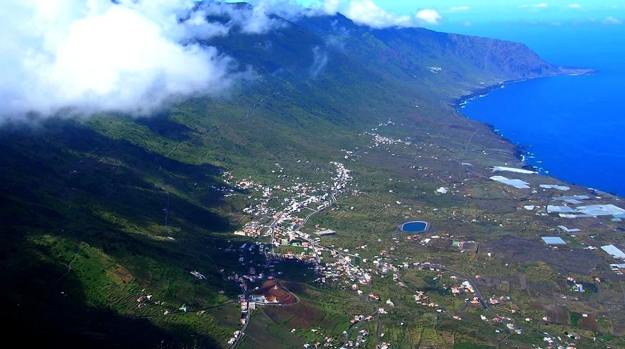
Aerial view of a valley with mountains and coast in El Hierro. barraquito, CC BY-SA 2.0

La Frontera

Canary Islands

4,660Population
80.12 km²Area
3 mElevation
38911Postal code

La Frontera is a municipality located on the western part of El Hierro in the Canary Islands, Spain. Known for its rich cultural heritage and natural beauty, it features the patronage of the Virgen de la Candelaria and is home to the Santuario Insular de Nuestra Señora de los Reyes.

02Geography

La Frontera is situated in the northwest of El Hierro and is notable for being the westernmost municipality in Spain. The area encompasses 80.12 km², making it the third largest municipality on the island. Its landscape is characterized by the fertile plains of the Valle de El Golfo and the dramatic cliffs of the Risco de Jinama.

Protected areas
Includes the rural park of Frontera and the Integral Natural Reserve of Mencáfete.
Climate
Temperatures average 24 °C in summer and 18 °C in winter.

03History

Historically, La Frontera has undergone territorial changes, with El Pinar and La Restinga being part of it until 2007. The area is also known for the Pozo de Sabinosa, a healing spring discovered over 300 years ago, which has been used for its medicinal properties.

La Frontera, a municipality in El Hierro, is known for its cultural heritage and natural beauty in the Canary Islands.

04Culture and Festivals

La Frontera celebrates several important festivals, including those dedicated to the Virgen de la Candelaria and San Lorenzo, featuring processions around the Montaña de Joapira. The municipality is also known for its unique Carnival traditions, particularly the Carneros de Tigaday.
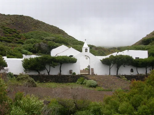
White hermitage with trees and green mountains in the background.
The Hermitage of the Virgin of the Kings, with white walls and surrounded by vegetation, in a mountainous setting on El Hierro.
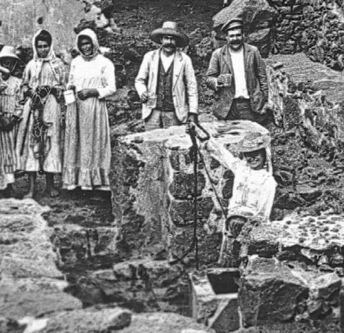
People in Sabinosa near an old water well.
Group of people in Sabinosa, El Hierro, around an old water well.
La Frontera · Data
Province
Santa Cruz de Tenerife
Autonomous community
Canary Islands
Population
4,660
Area
80.12 km²
Elevation
3 m
Postal code
38911
Website
http://www.aytofrontera.org/
Coordinates
27.7535, -18.0108

Photos

Cliffs and coast seen from Malpaso on El Hierro.
View from Malpaso on El Hierro, with cliffs and the coast in the foreground.
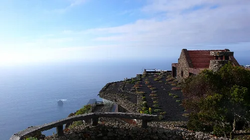
Exterior of the viewpoint with sea view and a stone building.
Exterior view of the Mirador de la Peña in El Hierro, with a sea landscape and a stone building.
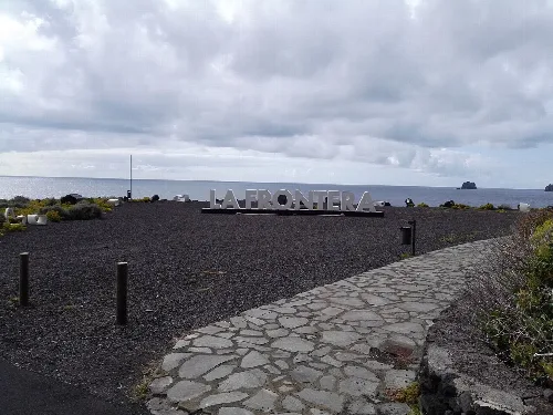
La Frontera sign with sea view and Las Puntas in El Hierro.
Welcome sign in La Frontera with sea views and Las Puntas in El Hierro.
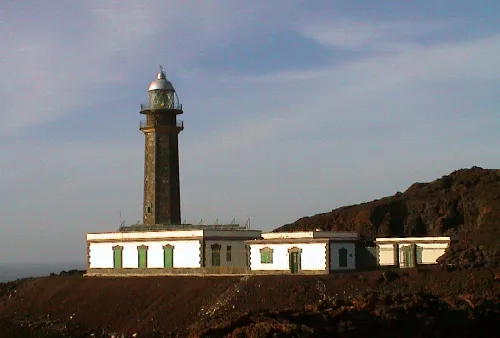
Orchilla lighthouse on El Hierro with stone structure and lantern at the top.
The Orchilla lighthouse on El Hierro, with its stone structure and lantern at the top, in a volcanic landscape.
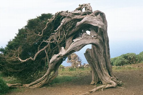
Phoenicean Juniper with twisted branches in El Sabinar, La Frontera.
A Phoenicean Juniper tree with twisted branches and a thick trunk in El Sabinar, La Frontera.

Map

Nearby

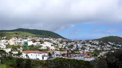
Panoramic view of Valverde with white houses and green hills
Valverde
Santa Cruz de Tenerife · 5,338 inhabitants

Own text, written with AI assistance from the facts in Wikipedia · La Frontera, Santa Cruz de Tenerife · Data: Wikidata Q1798827 · Photos: Wikimedia Commons, see individual licenses. · CC BY-SA 4.0