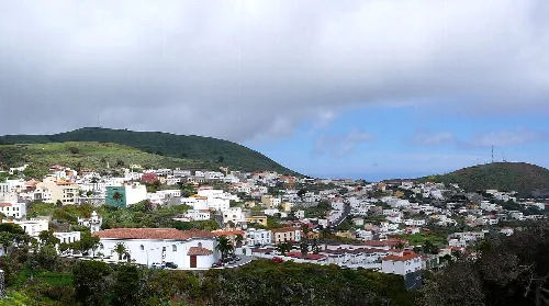
El Pinar de El Hierro is a municipality located in the southern part of El Hierro island, in the province of Santa Cruz de Tenerife, Canary Islands. Characterized by its rich natural landscapes and cultural heritage, it is the southernmost municipality in Spain and features a blend of traditional agriculture and fishing activities.
02Geography
El Pinar de El Hierro is situated on the southern slope of El Hierro island, facing the Atlantic Ocean. The area is largely protected and features the Mar de las Calmas, a tranquil bay shielded from prevailing winds by the surrounding mountains. The municipality includes the rugged terrain of El Julan, characterized by steep slopes and a rich pine forest.
Climate
Dry and arid in the south, more humid in the eastern median areas.
Elevation range
0 to 1500 meters.
Natural parks
Includes areas of ecological significance.
03History
The first inhabitants of El Pinar were the Bimbaches, who lived in caves and practiced agriculture and fishing. Their legacy includes numerous undeciphered petroglyphs scattered across the island. The modern history of El Pinar began with its segregation from Valverde in 2007, following a long-standing demand for local governance.
First inhabitants Bimbaches, known for their complex social structure.
Segregation year 2007.
First municipal elections 2011.
Patron saint festival Bajada de la Virgen de Los Reyes.
El Pinar de El Hierro is the southernmost municipality in Spain, known for its rich landscapes and cultural heritage.
04Economy
The economy of El Pinar is primarily based on agriculture and livestock, particularly goat and sheep farming. The proximity to the lush pine forests influences local agricultural practices, with crops such as figs and almonds being cultivated.
Main economic activities
Livestock and agriculture.
Number of goat heads
Largest in the island.
Agricultural products
Figs and almonds.
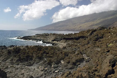
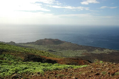
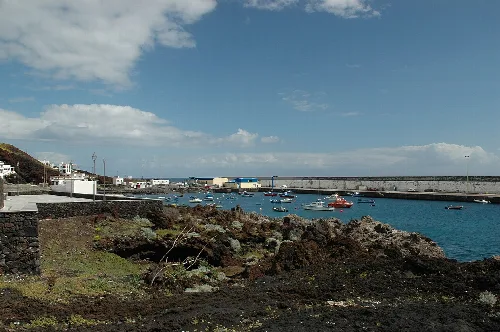
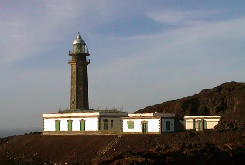
Rocky coast in El Pinar de El Hierro with mountain views in the background.View of Punta de la Orchilla with the lighthouse in the background on El Hierro, Canary Islands.
05Culture
El Pinar has preserved its traditional Herreño culture, evident in its folk music and craftsmanship. Local artisans create pottery, textiles, and wooden crafts, reflecting the island's heritage.
Traditional crafts Ceramics, textiles, and woodwork.
Cultural events Local festivals celebrating traditional customs.
Folk music Represents the island's cultural identity.
06Attractions
The municipality features several notable sites, including Punta de la Orchilla, the westernmost point of Spain, and La Restinga, a fishing village known for its diving spots. Other attractions include the scenic viewpoints and recreational areas surrounded by pine forests.
Punta de la Orchilla Historical reference point for mapping.
La Restinga Popular for fishing and diving.
Mirador de Tanajara Offers panoramic views of the area.
Hoya del Morcillo Recreational area with facilities.
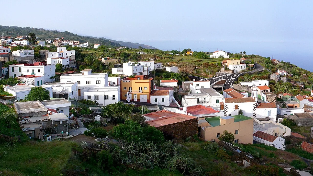
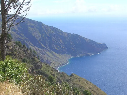
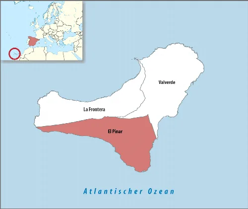
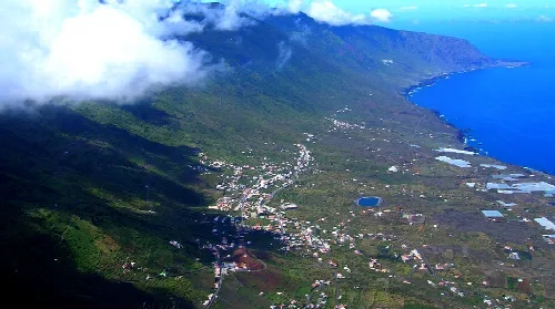
The descent to Las Playas from Las Casas in El Pinar, with views of the coast and sea in El Hierro.Fishing port of La Restinga in El Hierro with boats and a breakwater in the sea.Map of the municipality of El Pinar on the island of El Hierro, Canary Islands.The Orchilla lighthouse in El Hierro, with its stone structure and lantern on top, is set in volcanic landscape.View of the El Pinar settlement on El Hierro island, with white houses and streets on a hillside by the sea.
Frequently asked questions
What is El Pinar de El Hierro known for?
El Pinar de El Hierro is known for its stunning landscapes, rich biodiversity, and traditional Canarian culture. It features extensive pine forests, beautiful coastal areas, and significant archaeological sites. The municipality is also recognized for its unique geographical location as the southernmost municipality in Spain and its proximity to the Atlantic Ocean, making it a peaceful destination for nature lovers.
Cala de Tacorón is a lovely spot for relaxation and enjoying the sun. Visitors can take advantage of its calm waters, ideal for swimming and sunbathing. The area features several amenities, including picnic spots and a small kiosk for refreshments. It's a great place to unwind and enjoy the natural beauty of the coast.
What historical significance does Punta de la Orchilla have?
Punta de la Orchilla is historically significant as it was once considered the westernmost point of the known world until 1492. It served as a reference point for mapping the meridian zero. The area is home to a lighthouse that marks this important geographical landmark, making it a fascinating site for history enthusiasts.
Yes, El Pinar celebrates the Bajada de la Virgen de Los Reyes, a traditional festival that honors the patron saint of the island. This event features processions, music, and dance, bringing together locals and visitors in a vibrant display of culture and community spirit. It's a unique opportunity to experience local traditions firsthand.
El Pinar offers a variety of outdoor activities, including hiking and nature walks through its beautiful pine forests. The area is also great for birdwatching and exploring the unique flora and fauna of the region. Additionally, the coastal areas provide opportunities for swimming and snorkeling in the clear waters of the Atlantic.
El Pinar has a mild climate with minimal temperature variations. The coastal areas experience warmer temperatures, while the higher elevations can be cooler, especially at night. The region receives some rainfall between November and March, but overall, it enjoys a pleasant climate suitable for outdoor activities year-round.
What are the main economic activities in El Pinar?
The economy of El Pinar is primarily based on agriculture and livestock. The region is known for its goat and sheep farming, as well as the cultivation of fruits such as figs and almonds. The proximity to the pine forests also supports local crafts and artisanal production, contributing to the community's livelihood.
What is the significance of the petroglifos in El Pinar?
The petroglifos, particularly those found in Los Letreros de El Julan, are significant as they represent the ancient culture of the bimbaches, the island's first inhabitants. These rock carvings offer insight into the social structure and beliefs of this prehistoric society, making them an important archaeological and cultural heritage site.
Some of the best viewpoints in El Pinar include the Mirador de Tanajara, which offers stunning views of the capital and the southern part of the island, and the Mirador de Las Playas, where visitors can enjoy panoramic views of the coastline and the Roque de La Bonanza. These spots are perfect for photography and appreciating the island's natural beauty.
How did El Pinar become an independent municipality?
El Pinar became an independent municipality in September 2007 after a long process of advocacy by its residents. The community sought to separate from the neighboring municipality of La Frontera, citing historical grievances and the need for local governance. The segregation was officially approved, marking a significant milestone in the area's administrative history.
 espana.net