espana.net
 Rodelar, CC BY-SA 4.0
Castile and León
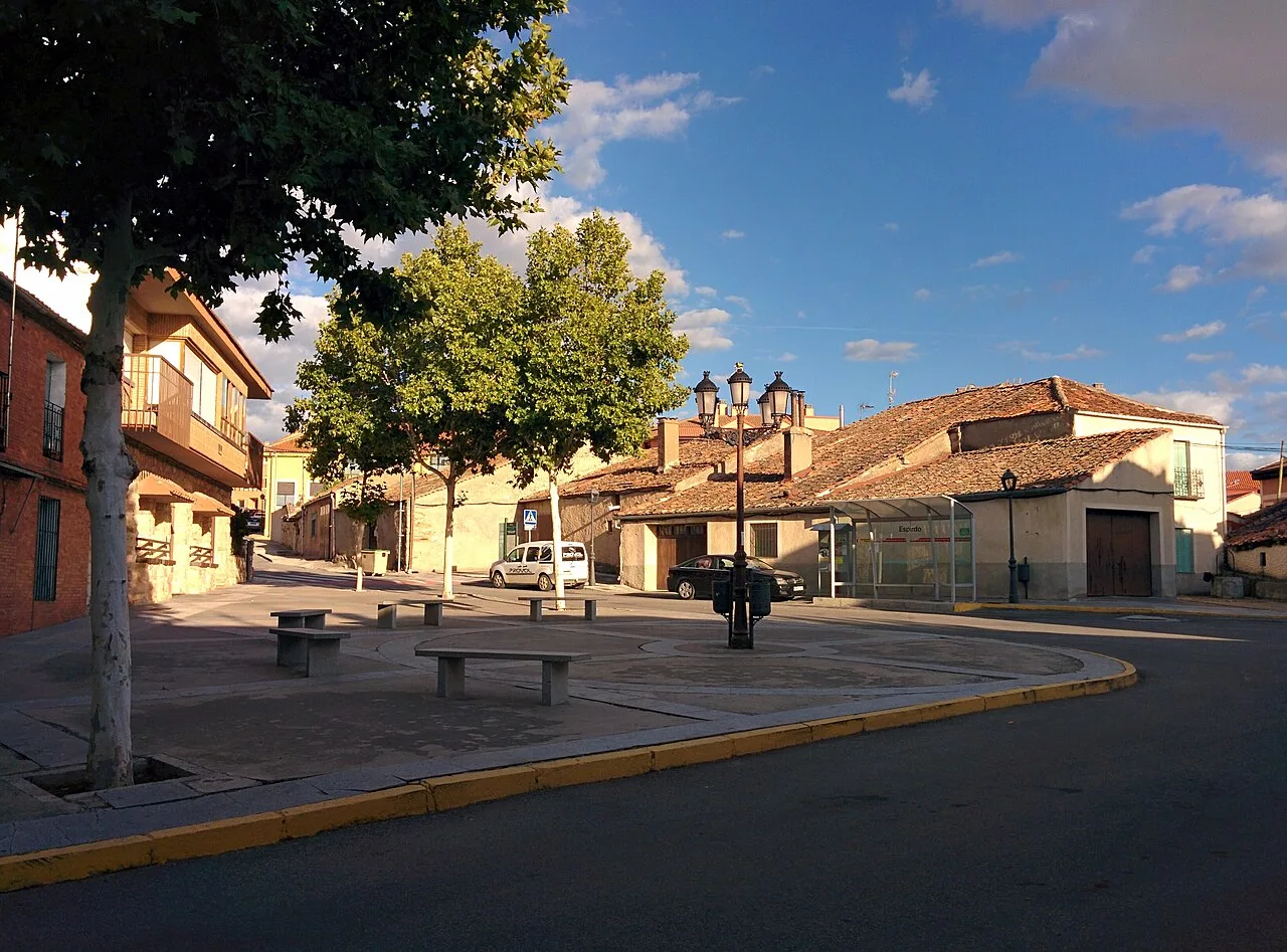
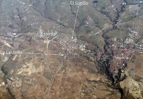
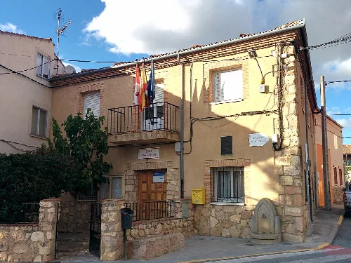
Espirdo is a municipality located in the province of Segovia, within the autonomous community of Castile and León. Characterized by its agricultural industry and proximity to Segovia, it comprises the main locality of Espirdo along with the districts of La Higuera and Tizneros.
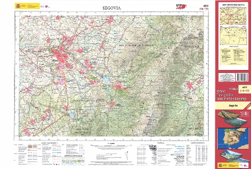
Espirdo is situated in the Ciudad y Tierra de Segovia region, approximately 8 kilometers from the capital city of Segovia. The municipality is traversed by the N-110 road and the local SG-V-2221 road, which connects it to nearby areas. The landscape features the western slopes of the Sierra de Guadarrama, with the river Ciguiñuela flowing through it. The elevation varies from 970 meters along the river Polendos to 1120 meters at the eastern boundary with Torrecaballeros.
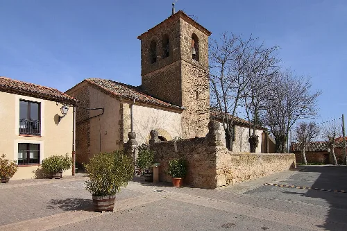
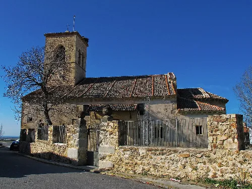
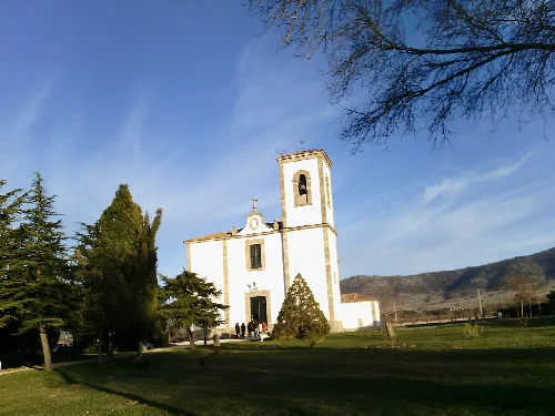
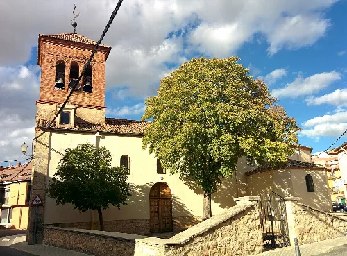
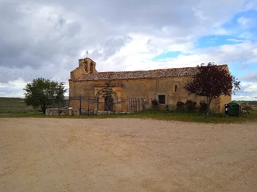
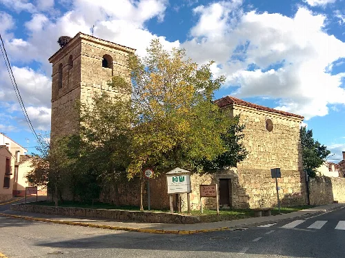
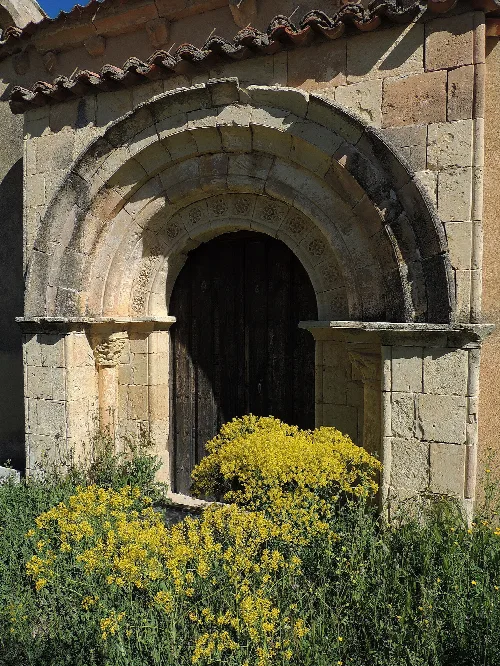
Espirdo boasts several points of interest, including natural sites like the Cerro de Catillejo and the Mirador del alto de La Ermita de Veladiez. The area is known for its diverse flora and fauna, with notable species such as Populus nigra. The municipality also features historical structures like the Romanesque Ermita de Nuestra Señora de Veladiez and the Church of San Pedro, both of which attract visitors for their architectural significance.
Espirdo is a municipality in Segovia, known for its agricultural industry and proximity to the city of Segovia.
Espirdo hosts several local festivals throughout the year, reflecting its cultural traditions. These celebrations are important for community bonding and showcase the local heritage.
Own text, written with AI assistance from the facts in Wikipedia · Espirdo · Data: Wikidata Q1939048 · Photos: Wikimedia Commons, see individual licenses. · CC BY-SA 4.0