espana.net
 Israel Díaz Izquierdo, Public domain
Castile and León
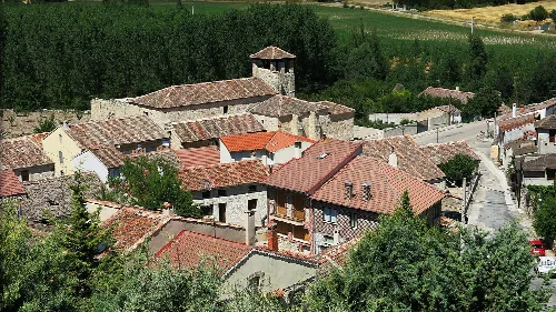
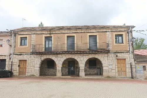
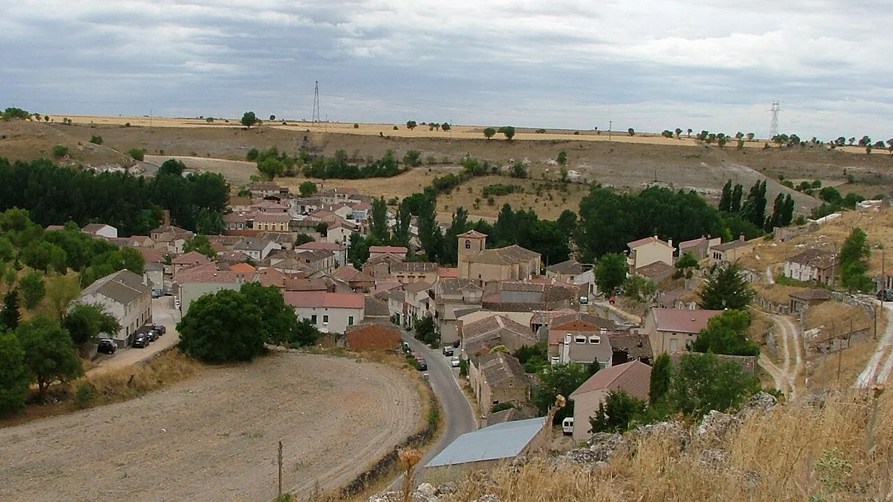
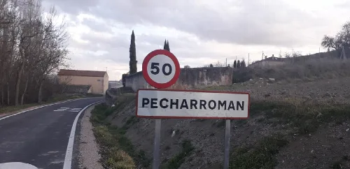
Valtiendas is a municipality located in the northern part of Segovia province, within the autonomous community of Castile and León. Characterized by its small population and rich architectural heritage, it includes the localities of Pecharromán and the Caserío de San José.
Valtiendas is situated in the central zone of the Iberian Peninsula, at a high elevation of 912 meters. The municipality covers an area of 38.64 km² and is accessible via the CL-603 road from Segovia. The region experiences a continental Mediterranean climate, characterized by significant temperature variations between day and night.
With a population of 75, Valtiendas has witnessed a significant decline in residents over the years, particularly from 1960 to 1980 due to rural exodus. However, this trend has slowed since the 1980s as migration rates decreased. The local economy is primarily based on the primary sector, particularly viticulture, with several wineries contributing to the production of Valtiendas wine.
Valtiendas is a small municipality in Segovia, known for its rich architectural heritage and natural surroundings.
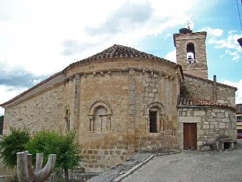
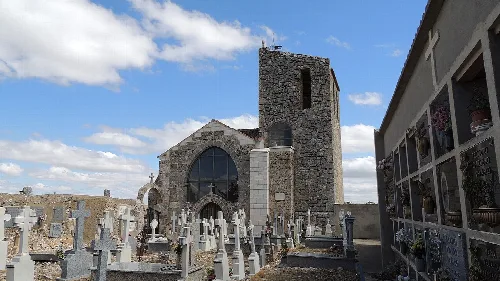
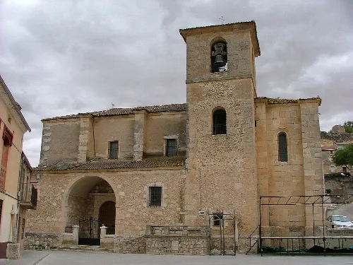
Valtiendas boasts notable architectural heritage, including the Renaissance-style parish church of Nuestra Señora de la Asunción, which houses Baroque altarpieces and a 16th-century processional cross. Nearby, the church of San Andrés in Pecharromán features remarkable Romanesque sculptures and a unique collection of corbels depicting various figures.
Own text, written with AI assistance from the facts in Wikipedia · Valtiendas · Data: Wikidata Q1919269 · Photos: Wikimedia Commons, see individual licenses. · CC BY-SA 4.0