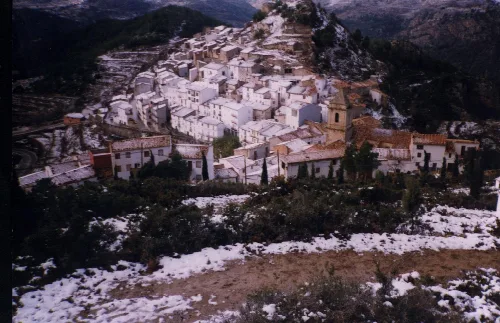
espana.net
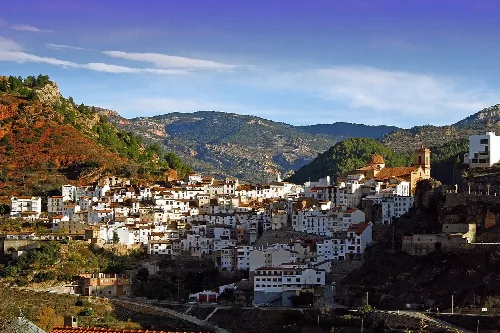
 Pabloandr85, CC BY-SA 3.0
Aragon
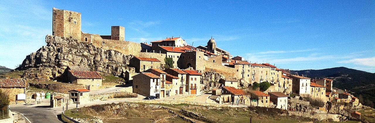
Puertomingalvo is a municipality located in the province of Teruel, Aragon, characterized by its rich history and stunning natural surroundings. Nestled in the Maestrazgo cultural park, it features a well-preserved medieval castle and a charming urban layout.
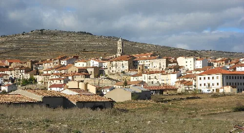
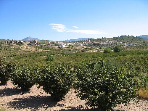
Puertomingalvo is situated in the northeastern part of the Gúdar-Javalambre comarca, at an elevation of 1456 m. The municipality covers an area of 103.62 km² and is renowned for its natural environment typical of the Serranía del Maestrazgo. The local residents are referred to as puertomingalvinos/as.
The history of Puertomingalvo dates back to Iberian times, with evidence of early settlements in the area. Roman influence is noted through archaeological findings, and the town was reconquered in 1181. The establishment of the town is documented in 1202, and it has been recognized as one of the Most Beautiful Villages in Spain since 2013.
Explore Puertomingalvo, a historic municipality in Teruel, known for its medieval architecture and beautiful natural landscapes.
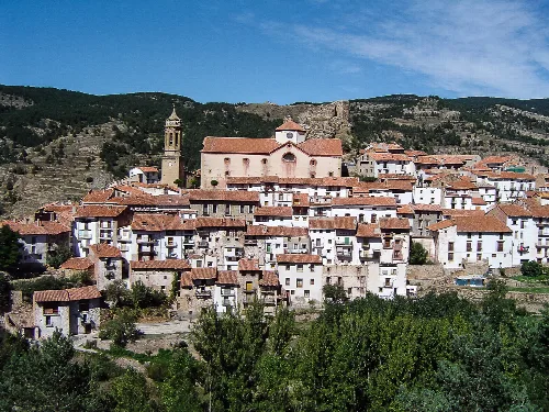
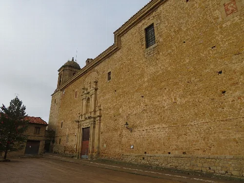
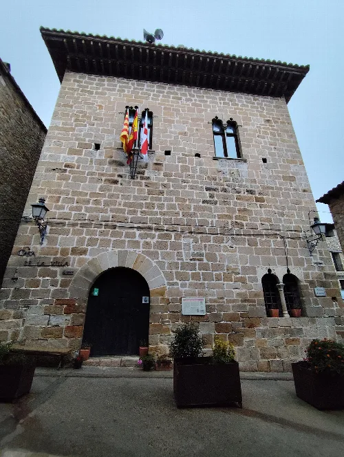
The urban center of Puertomingalvo is perched on a rocky promontory, dominated by the castle that dates back to its early history. The town features narrow streets lined with examples of popular architecture, including the Casa de la Villa and the ancient hospital of Santa María de Gracia.
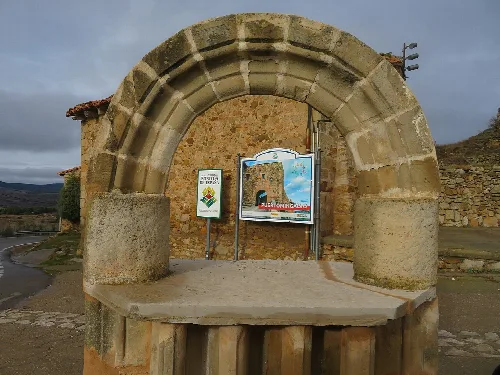
Own text, written with AI assistance from the facts in Wikipedia · Puertomingalvo · Data: Wikidata Q1651188 · Photos: Wikimedia Commons, see individual licenses. · CC BY-SA 4.0