espana.net
 Paula 1991, CC BY-SA 3.0 es
Castilla–La Mancha
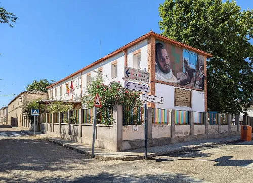
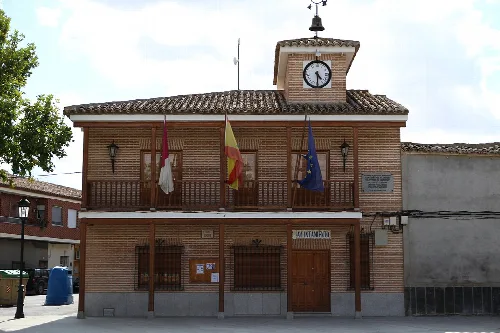
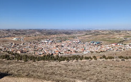
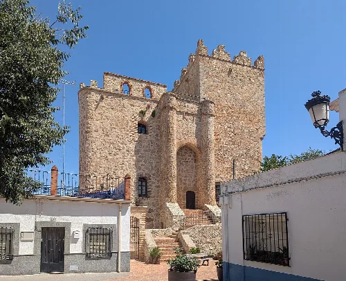
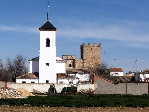
Manzaneque is a municipality located in the province of Toledo, within the autonomous community of Castilla–La Mancha. Characterized by its historical significance and rural landscape, it features a modest population and notable landmarks such as a 14th-century castle.
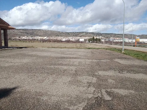
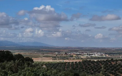
Situated approximately 40 km from Toledo, Manzaneque lies at an elevation of 715 m on a plain near the Yébenes and Rabera mountain ranges. The area is characterized by its clayey and sandy terrain, with notable features including the cerro de la Arboleda and the sierra del Pucheruelo. The municipality spans 12.26 km² and is traversed by the Riansares stream, a tributary of the Algodor River.
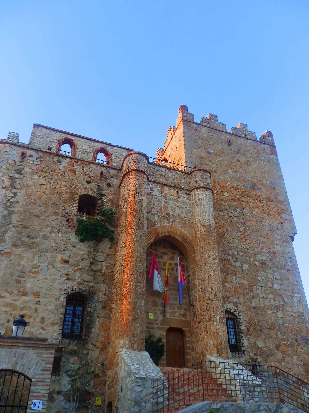
Manzaneque likely has origins dating back to the Visigothic period, later inhabited by Mozarabs until the Reconquista. In the 14th century, a castle was constructed to secure the area, which was strategically important for communication between Toledo and Andalucía. The municipality was recognized for its defensive significance and was granted to Fernando Yánez de Alfarilla by Fernando III.
Explore Manzaneque, a historic municipality in Toledo known for its castle and rural charm.
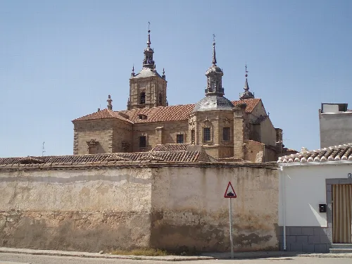
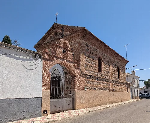
Manzaneque is home to several cultural landmarks, including the 14th-century Castillo de Manzaneque and the Ermita de San Sebastián. The municipality celebrates various festivals throughout the year, reflecting its local traditions and community spirit.
Own text, written with AI assistance from the facts in Wikipedia · Manzaneque · Data: Wikidata Q1642083 · Photos: Wikimedia Commons, see individual licenses. · CC BY-SA 4.0