espana.net
 Discasto, CC BY-SA 4.0
Castilla–La Mancha
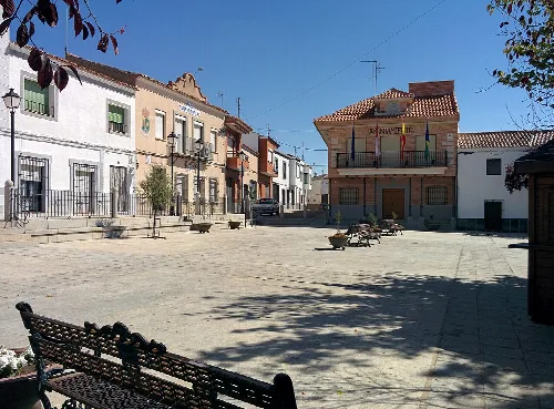
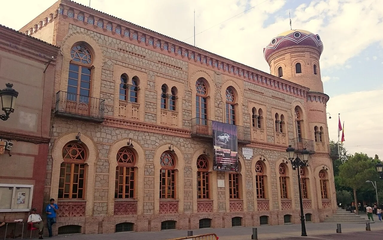
Mora is a municipality located in the province of Toledo, within the autonomous community of Castilla-La Mancha. Known for its agricultural economy, particularly olive cultivation, it features a rich historical background and several notable landmarks.
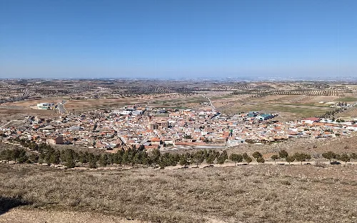
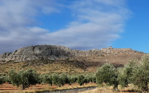
Mora is situated approximately 29 km southeast of Toledo and 82 km south of Madrid. The municipality spans an area of 169.6 km² and is characterized by a predominantly flat landscape, although it also includes several mountain ranges such as the Sierra del Castillo and Sierra del Buey. The region is part of the Mancha Alta comarca and features various streams, including those that feed into the Algodor River.
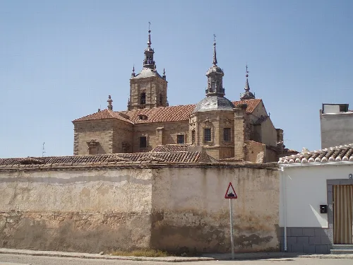
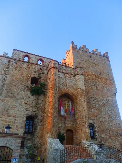
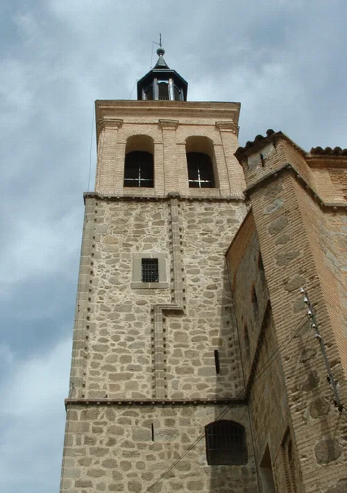
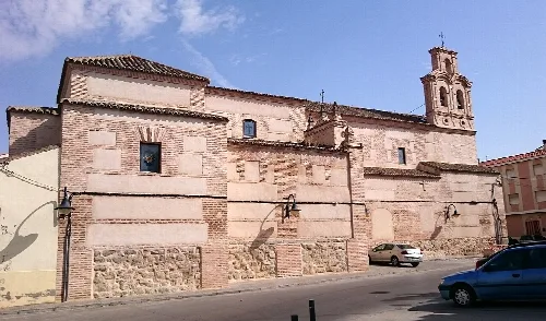
Mora has a historical significance dating back to Roman times, with its castle playing a strategic role during the Reconquista. The town was involved in various conflicts, including the battles against the Almoravids and the Comunidades de Castilla. Notably, in 1521, many residents perished during an attack on the church, marking a tragic event in its history.
Mora, a municipality in Toledo, is known for its olive cultivation and rich history, featuring several significant landmarks.
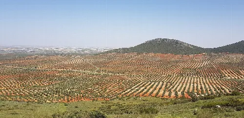
The economy of Mora is primarily based on agriculture, with a strong emphasis on olive cultivation, which is celebrated during the Fiesta del Olivo. The town has a limited industrial sector but maintains a vibrant local culture, including traditional crafts and various festivals throughout the year.
Own text, written with AI assistance from the facts in Wikipedia · Mora, Spain · Data: Wikidata Q1641529 · Photos: Wikimedia Commons, see individual licenses. · CC BY-SA 4.0