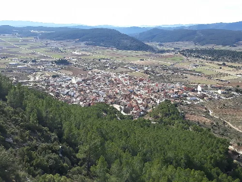
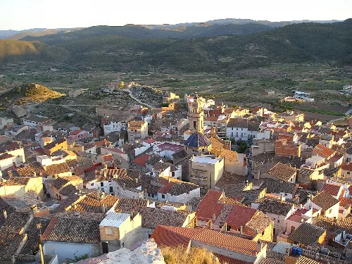
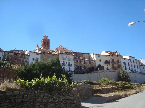
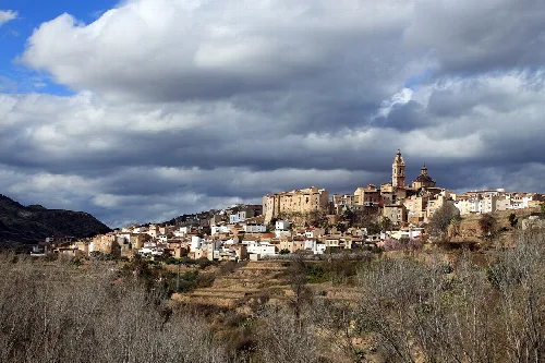
What can I see from the viewpoint of Nicómedes in Alpuente?
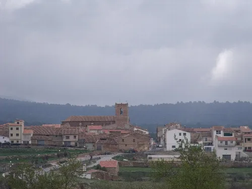
From the viewpoint of Nicómedes, visitors can enjoy a partial view of the village of Alpuente, including the notable octagonal bell tower of the parish church of Nuestra Señora de la Piedad. This scenic spot offers a picturesque perspective of the town’s architecture and surrounding landscape.
Sights

Are there any paleontological sites in Alpuente?
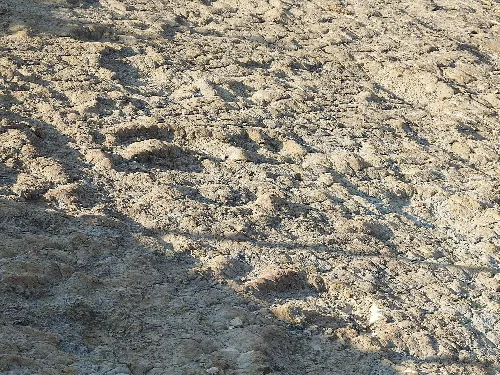
Yes, Alpuente is home to several paleontological sites, including the Cañada París, which is one of the best-preserved dinosaur track sites in the Valencian Community. It features footprints from both sauropod and non-avian theropod dinosaurs, dating back to the Jurassic-Cretaceous period, around 140 million years ago.
Nature
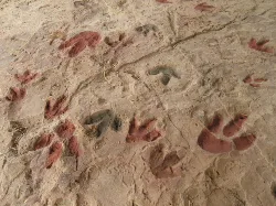
What are the dinosaur footprints in Corcolilla?
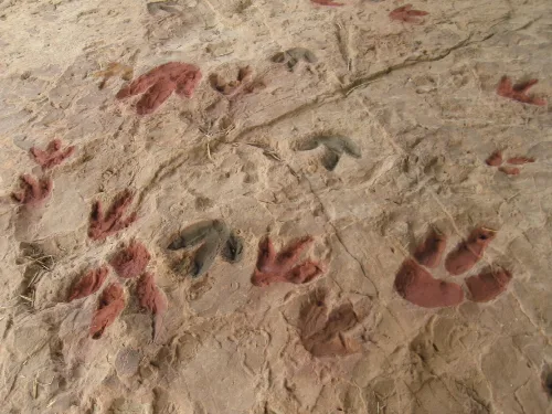
In Corcolilla, you can find dinosaur footprints, specifically 53 tridactyl tracks from small to medium-sized theropods and ornithopods. This site is part of the rich paleontological heritage of Alpuente, showcasing the area's ancient history.
Nature
What is the history of Alpuente during the Muslim period?
During the Muslim period, Alpuente was significant due to its strategic location along the Royal Road from Valencia to Aragón and Castilla. It was governed by the Beni Kasim dynasty, and the castle of Alpuente played a crucial role in controlling the surrounding area until it fell under various influences, including El Cid and the Almoravids.
History
What are the main economic activities in Alpuente today?
Currently, Alpuente's economy is primarily based on agriculture and livestock. Key crops include vineyards, almonds, and cereals, while livestock farming encompasses sheep, pigs, and poultry. Additionally, there are emerging activities in tourism and local product sales, enhancing the community's livelihood.
Living there
For residents
What is the significance of the Virgen de la Consolación festival?
The Virgen de la Consolación festival is celebrated every three years in Alpuente, involving the procession of the Virgin from the church in Corcolilla to the village. This event includes religious and secular festivities, with verses recited in gratitude and supplication to the Virgin, reflecting the community's deep-rooted traditions.
Festivals & events
What can you tell me about the church of Nuestra Señora de la Piedad?
The church of Nuestra Señora de la Piedad is a notable landmark in Alpuente, characterized by its octagonal bell tower. It serves as the parish church and is an integral part of the town's cultural and religious identity, reflecting the architectural style of the region.
Sights
Iglesia parroquial de Nuestra Señora de la Piedad
How did Alpuente's population change over the centuries?
Alpuente's population has fluctuated significantly over the centuries. In the 15th century, it reached its peak with up to 23 populated nuclei. However, like many rural areas, it has seen a decline, currently housing around 688 residents, as of 2025, with many living in scattered villages.
Living there
For residents
What traditional dishes are popular in Alpuente?
Alpuente's cuisine features traditional dishes such as embutido, olla de pueblo, gazpachos, and various lamb stews. Local specialties also include morcilla de pan and salchichón, showcasing the agricultural and livestock heritage of the region.
Food & drink
What is the significance of the Hospital de Sangre during the Civil War?
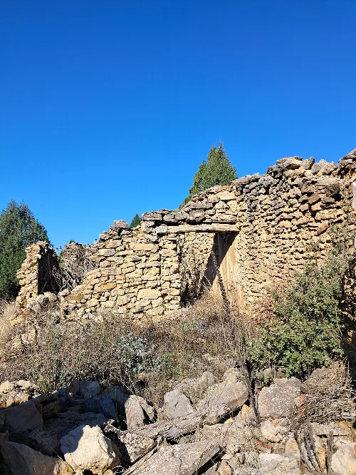
The Hospital de Sangre in Alpuente played a crucial role during the Spanish Civil War, serving as a medical facility for the Republican side. It is surrounded by historical sites, including mass graves of war victims, highlighting the area's turbulent past during this conflict.
History
Hospital de sangre de los Corrales de los Garcías For residents
 espana.net