espana.net
 Juan Pablo Zumel Arranz, CC BY 3.0
Castile and León
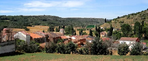
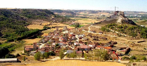
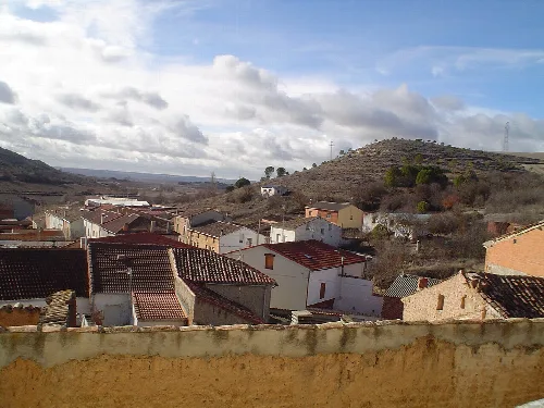
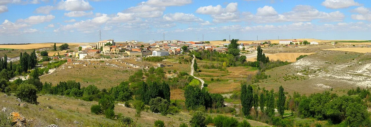
San Llorente is a municipality located in the province of Valladolid, within the autonomous community of Castile and León, Spain. Known as San Llorente del Valle, it is characterized by its high elevation and agricultural landscape, forming part of the Valle del Cuco.
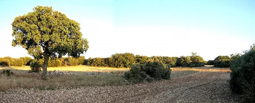
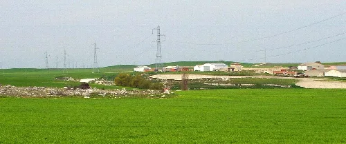
San Llorente del Valle is the highest village in the Valle del Cuco, standing at an elevation of 889 meters. The area features three distinct natural environments: the flat paramo, the valley with abandoned orchards, and a mountainous region with oak trees. The village is traversed by the historic Camino Real de Burgos, which was used for livestock transhumance.
The history of San Llorente is intertwined with the broader history of the Peñafiel region. Originally inhabited by the Vacceos, the area was repopulated in the 10th century following the Battle of Simancas. Over the centuries, it transitioned through various political and ecclesiastical jurisdictions, ultimately becoming part of the diocese of Valladolid in 1952.
San Llorente, a municipality in Valladolid, is known for its high altitude and agricultural heritage in Castile and León.
San Llorente has a small population of 93 residents, reflecting its rural character. The community is part of the Campo de Peñafiel region and has seen fluctuations in its population over the years, influenced by agricultural practices and economic changes.
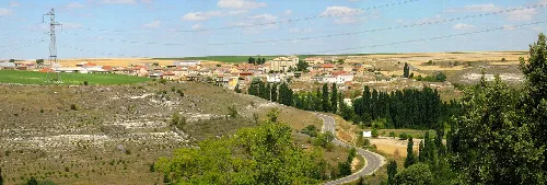
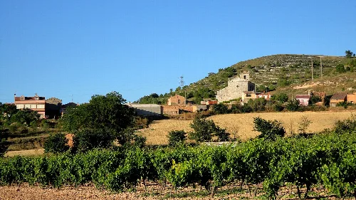
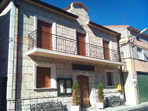
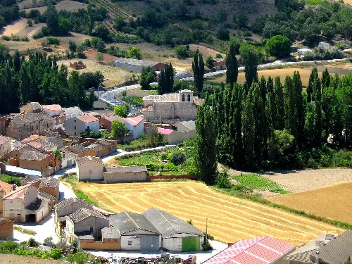
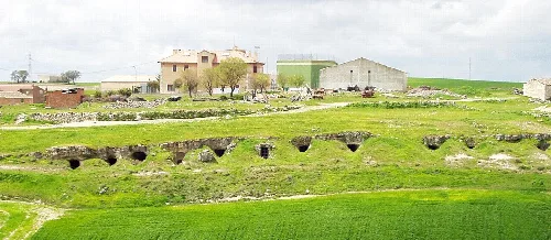
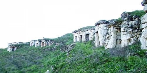
The most significant structure in San Llorente is the Gothic church dedicated to San Pedro Apóstol, which features Baroque altarpieces and a prominent bell tower. The village also showcases traditional architecture, including stone and adobe houses, and has remnants of old wine cellars.

Own text, written with AI assistance from the facts in Wikipedia · San Llorente · Data: Wikidata Q1907107 · Photos: Wikimedia Commons, see individual licenses. · CC BY-SA 4.0