espana.net
 Diego Delso, CC BY-SA 4.0
Aragon
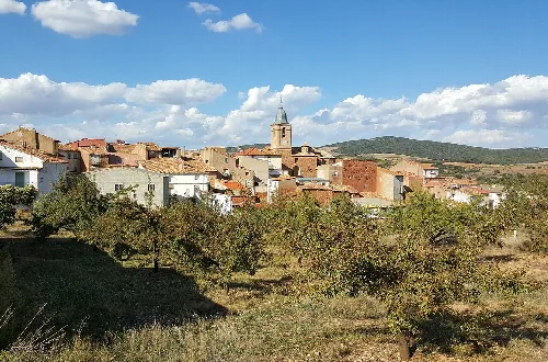
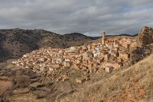
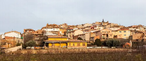
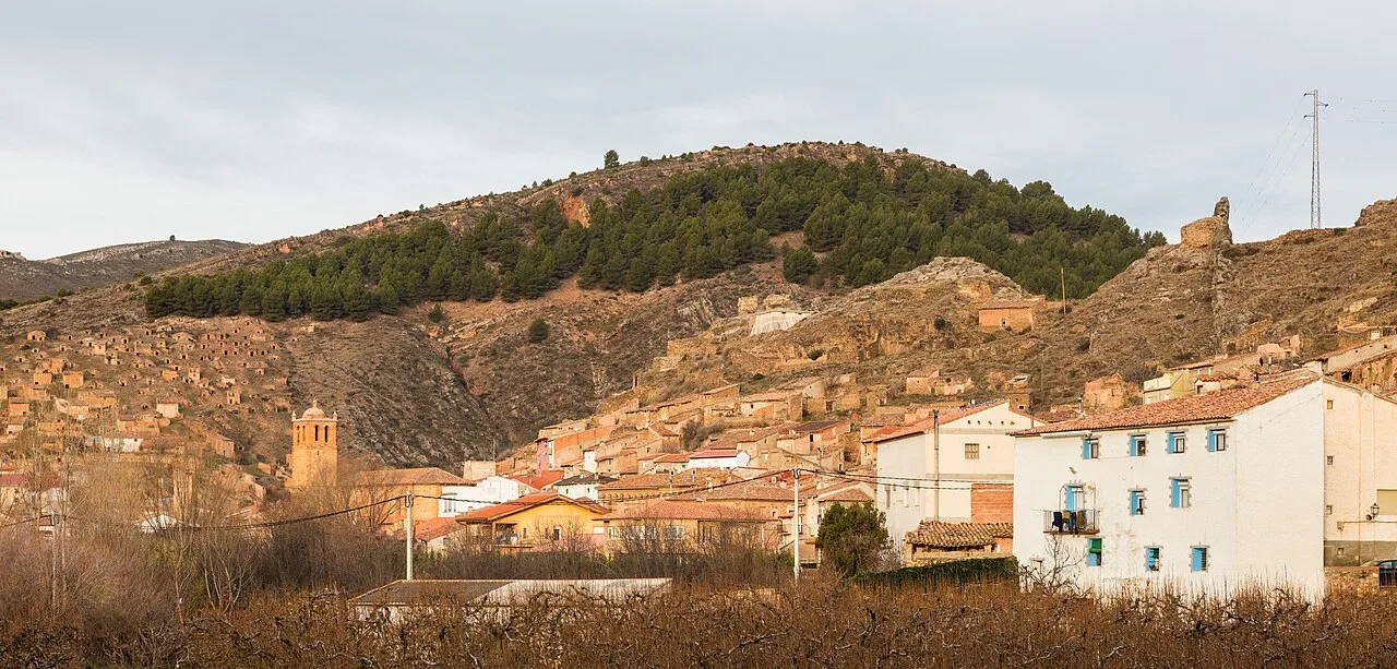
Torrijo de la Cañada is a municipality located in the province of Zaragoza, Aragon. Characterized by its historical significance and picturesque landscapes, it features a small population and notable architectural heritage.
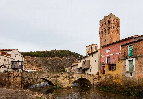
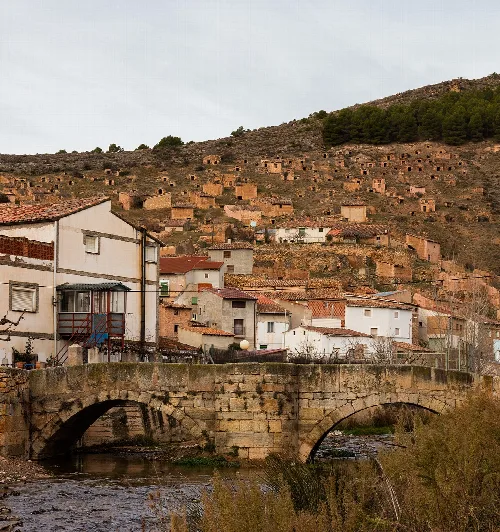
The municipality of Torrijo de la Cañada is situated in the valley of the Manubles River, which is a tributary of the Jalón River. The area is bordered by Bijuesca and Villalengua and is intersected by another local river known as Carabán. Access to the town is primarily via the A-1502 road.
Torrijo de la Cañada has a rich history dating back to ancient times, originally known as Termes and Turriga. It was the site of a significant battle during the Celtiberian Wars, as noted by the historian Apiano. The town was reconquered in the 12th century by Alfonso I and has since experienced various historical events, including the impact of the wars of the Two Pedros in the 14th century.
Explore Torrijo de la Cañada, a historic municipality in Zaragoza, Aragon, known for its rich heritage and scenic beauty.
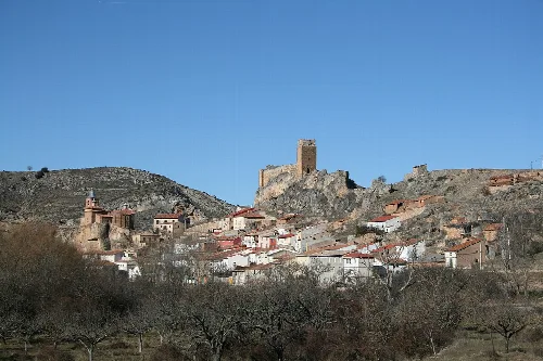
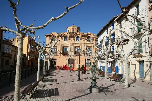
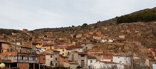
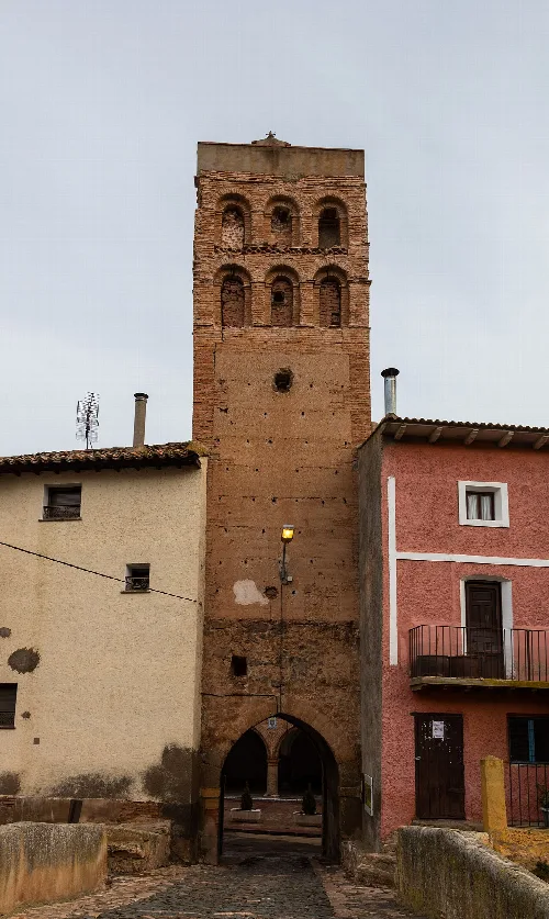
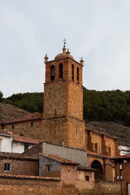
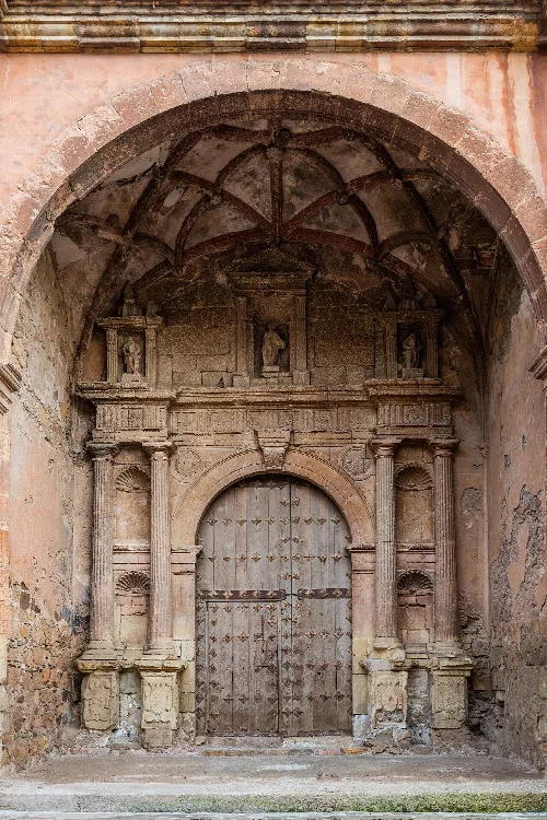
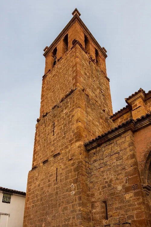
The town features several notable structures, including the church of Nuestra Señora del Hortal and the San Juan church, both showcasing unique architectural styles. The town square is crowned by a historic tower-bridge from the old city wall, and remnants of a medieval fortress can be found among the village's higher streets. Torrijo de la Cañada also celebrates Semana Santa, recognized as a regional tourist interest.
Own text, written with AI assistance from the facts in Wikipedia · Torrijo de la Cañada · Data: Wikidata Q1650416 · Photos: Wikimedia Commons, see individual licenses. · CC BY-SA 4.0