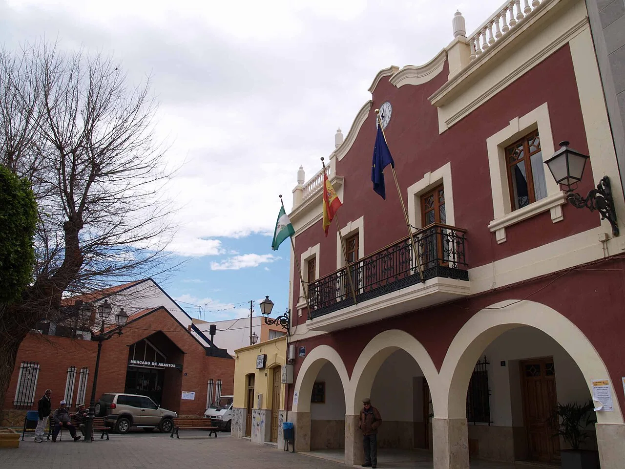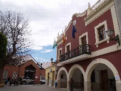
Town hall building with arches and flags in Viator, Almería. Guadaviator, CC BY-SA 4.0

Viator

Andalusia

6,339Population
21 km²Area
95 mElevation
04240Postal code

Viator is a municipality located in the central part of the Metropolitan area of Almería, in the province of Almería, Andalusia. It is characterized by its agricultural activities and proximity to the city of Almería, as well as its historical significance and military presence.

02Geography

Viator is situated approximately 10 km from the center of Almería, integrated within the Metropolitan area. The municipality is traversed by the Mediterranean Highway (A-7) and the A-92 highway, facilitating communication with Granada. The landscape features the Andarax River valley to the west and the ascending Sierra Alhamilla to the east, with altitudes ranging from 50 m at the river to 296 m at Loma del Nijareño.

Patron saint
Nuestra Señora de las Angustias

03History

The area has historical roots dating back to Roman times, possibly serving as a route from Cástulo to Malaca. Following the Reconquista, Viator and Huércal were considered suburbs of Almería. The population has fluctuated over the centuries, with significant events such as the establishment of military installations and the impact of the Spanish Civil War shaping its development.

Viator is a municipality in Almería known for its agriculture, history, and military base, located near the capital of Almería.

04Economy and Daily Life

Viator's economy is primarily based on agriculture, particularly in the production of IGP Tomate de La Cañada Níjar. The proximity to Almería has also led to a significant portion of the population working in the service sector. The municipality has seen residential development in recent years, contributing to population growth.

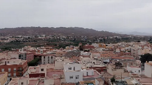
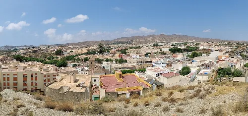
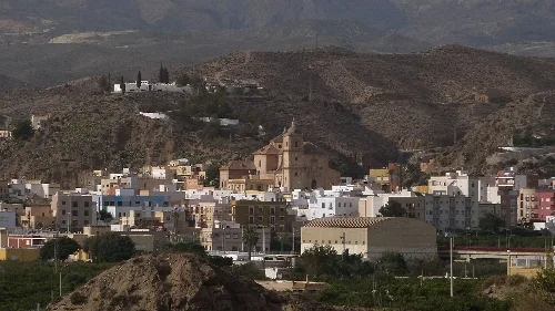
View of a town with white houses and mountains in the background.
Views of Viator from Cerro de la Cruz de mayo, with Sierra de Gádor and the A-7 highway in the background.
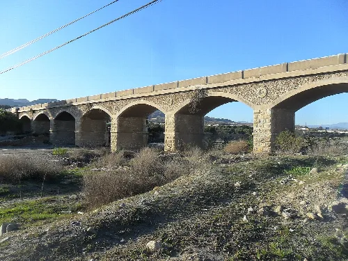
Stone arch bridge over the Andarax river in Viator.
Stone bridge over the Andarax river between Huércal and Viator in Almería

05Cultural Heritage and Festivals

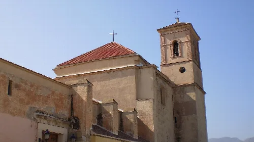
Viator hosts several cultural sites, including the Church of Nuestra Señora de las Angustias and the Paleontological Museum of La Ballena. The municipality celebrates various festivals, notably the Fiestas de la Virgen de las Angustias, which include traditional events and a procession.

Viator · Data
Province
Almería
Autonomous community
Andalusia
Population
6,339
Area
21 km²
Elevation
95 m
Postal code
04240
Website
http://www.ayuntamientoviator.es
Coordinates
36.8887, -2.4251

Photos

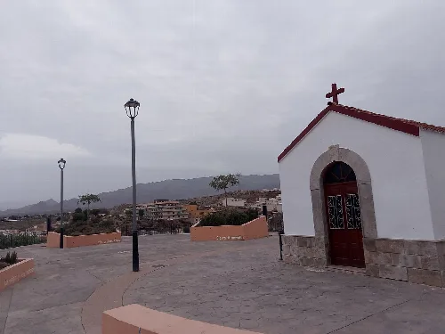
Small white chapel with cross on the roof at a viewpoint with lampposts and mountain view.
Chapel of Cerro de la Cruz at the viewpoint in Viator, with mountain views and the town.
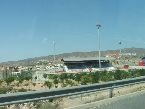
Viator Stadium with stands and football field in Almería.
Viator Stadium in Almería, with mountains in the background and football field lights.
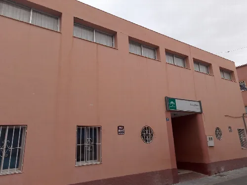
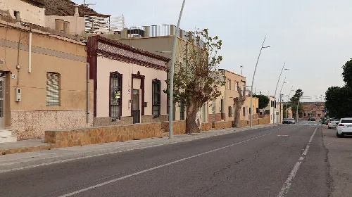
Pink building with windows and entrance in Viator.
Medical clinic in Viator with windows and entrance in a pink building.
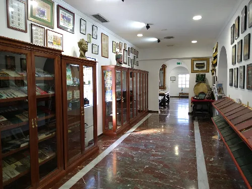
Museum corridor with wooden display cases and pictures on the walls.
Interior of the Legion Museum collection in Almería with display cases and wall pictures.
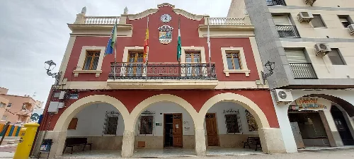
Town hall with arches and flags in Viator, Almería.
Town hall building in Viator, Almería, with arches on the ground floor and flags on the facade.

Frequently asked questions

Town hall building with arches and flags in Viator, Almería.

What is the Ayuntamiento de Viator?

The Ayuntamiento de Viator is the town hall of Viator, located in the province of Almería. It serves as the local government building where administrative functions take place. The architecture reflects the town's charm and is a central point for residents and visitors alike. Its presence signifies the municipality's governance and community services.

Practical Ayuntamiento de Viator For residents

What can you tell me about the history of Viator?

Viator has a rich history that dates back to the Roman period, with evidence suggesting it was part of a Roman road. It became significant during the al-Ándalus period and was repopulated in the late 16th century after the expulsion of Moriscos. The town has seen various developments, including military installations and agricultural growth, shaping its current identity.

History
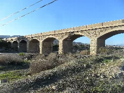
Stone arch bridge over the Andarax river in Viator.

What is the significance of the Puente sobre el Andarax?

The Puente sobre el Andarax is a historic bridge built in 1920 that connects Huércal and Viator. It played a crucial role in enhancing transportation and accessibility in the region. The bridge is an important landmark that reflects the engineering advancements of its time and serves as a vital link in the area.

Sights Puente sobre el Andarax

What are the Fiestas de la Virgen de las Angustias?

The Fiestas de la Virgen de las Angustias are celebrated for four days, starting with a novena nine days prior to the main festivities. The event features various activities, including a floral offering, a longaniza fair, and a procession through the town. This festival has deep cultural significance and showcases local traditions and community spirit.

Festivals & events

What is the main economic activity in Viator?

The primary economic activity in Viator is agriculture, with a focus on the production of IGP Tomate de La Cañada Níjar. Additionally, due to its proximity to Almería, many residents also engage in the service sector. This dual economy supports the local community and contributes to its growth.

Living there For residents

What is the Museo Paleontológico de La Ballena de Viator?

The Museo Paleontológico de La Ballena de Viator, established in 2012, is dedicated to paleontology. It features various exhibits showcasing the evolution of species and includes sections with fossil remains. This museum serves as an educational resource for visitors interested in the region's prehistoric life.

Sights

Where can I find the Ermita de la Virgen del Carmen?

The Ermita de la Virgen del Carmen is a notable religious site in Viator. It houses the image of the Virgin and has undergone renovations to preserve its historical significance. The new structure features modern elements to protect the image from high temperatures, making it a unique place of worship.

Sights Ermita de la Virgen del Carmen

What are the main transportation options in Viator?

Viator is well-connected through various transportation options. The A-7 motorway runs through the municipality, linking it to Almería and other regions. Additionally, there are local bus services that connect Viator to nearby towns. The nearest train station is in Huércal-Viator, although it is currently out of service.

Getting there For residents

What is the significance of the Base Álvarez de Sotomayor?

The Base Álvarez de Sotomayor is a military base named in honor of General Fernando Álvarez de Sotomayor. Established in 1924, it has played a crucial role in military operations and training. The base is an integral part of Viator's identity and contributes to its historical and cultural landscape.

History For residents

What outdoor activities are available in Viator?

Viator offers various outdoor activities due to its scenic location. Residents and visitors can enjoy hiking in the nearby Sierra Alhamilla or exploring the valley of the Andarax River. The area's natural beauty provides opportunities for outdoor sports and recreational activities, making it a great place for nature lovers.

Nature

Map

Nearby

Church with tower and red tiled roof in Pechina.
Pechina
Almería · 4,552 inhabitants
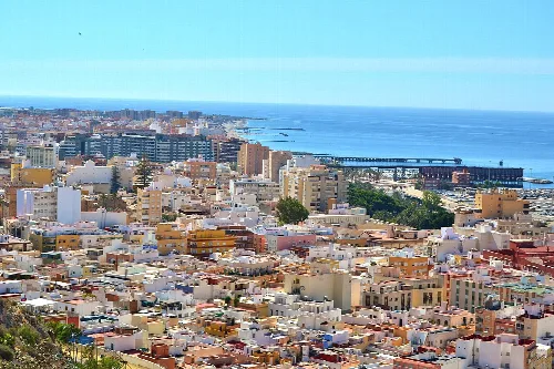
View of Almería city with buildings and sea in the background.
Almería
Almería · 205,468 inhabitants
N-340a a su paso por Rioja
Rioja
Almería · 1,609 inhabitants
View of Gádor with buildings, church, and mountains in the background.
Gádor
Almería · 3,130 inhabitants

Own text, written with AI assistance from the facts in Wikipedia · Viator · Data: Wikidata Q1444040 · Photos: Wikimedia Commons, see individual licenses. · CC BY-SA 4.0