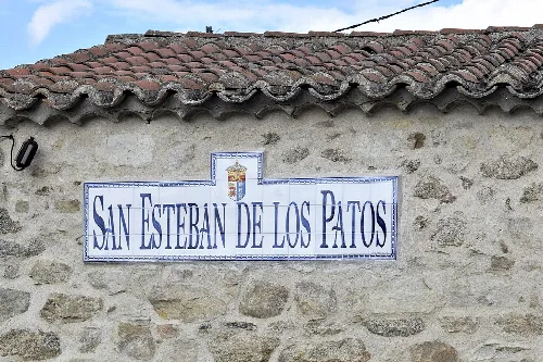
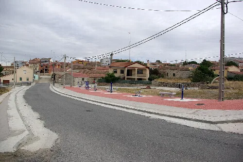
San Esteban de los Patos is a small municipality in the province of Ávila, part of the autonomous community of Castile and León. Characterized by its mountainous terrain and historical significance, it has a population of only 19 residents.
02Geography
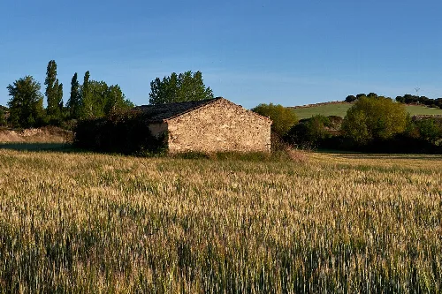
San Esteban de los Patos is situated at the foothills of the Sierra de Ojos Albos, with an elevation of 1117 meters above sea level. The landscape features granite outcrops, holm oaks, and low scrub. The area has been affected by granite quarrying in recent decades, which has altered parts of its natural beauty. The municipality is located 15 kilometers north of the provincial capital, Ávila.
03History
The history of San Esteban de los Patos dates back to pre-Roman times, when it was inhabited by Celtic tribes. The area saw various settlements through the Roman and Visigothic periods, but it was not until the late 13th century that it began to be repopulated. The village was established around 1297 under the direction of D. Velasco Velázquez, who aimed to repopulate the northern regions of Ávila.
-
1297 Foundation of the village by D. Velasco Velázquez.
-
1502 Núñez Vela family donates land to the Convent of Santa Catalina.
-
1622 Juan Rubio sells properties in Los Patos.
-
1668 The village is sold to D. Luis de Peralta y Cárdenas.
-
1717 Establishment of the Cofradía del Santísimo Sacramento.
San Esteban de los Patos is a small municipality in Ávila, known for its historical significance and mountainous landscape.
04Economy
Historically, the economy of San Esteban de los Patos relied on quarrying, livestock, and agriculture. In contemporary times, the residents primarily engage in agriculture and livestock farming, alongside a growing interest in rural tourism.
- Main economic activities
- Agriculture, livestock, and rural tourism.
- Historical economic activities
- Quarrying, livestock, and agriculture.
05Monuments and Points of Interest
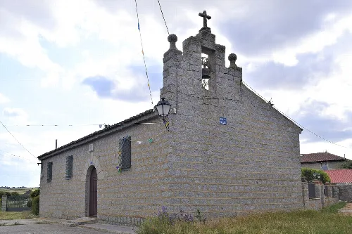
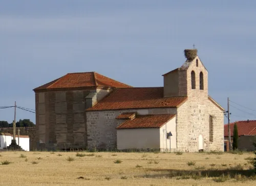
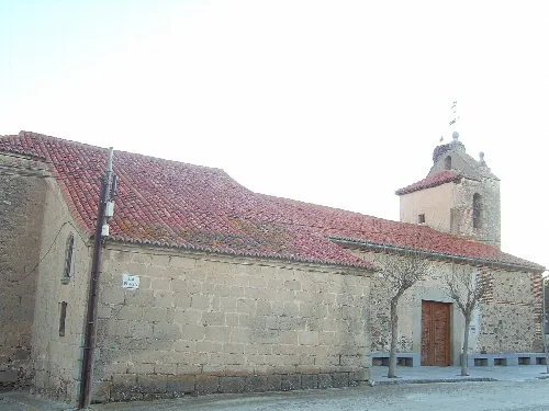
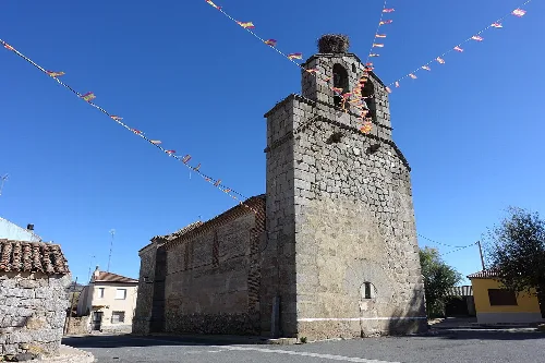
San Esteban de los Patos features several notable structures, including the Iglesia de Santo Tomé, which has undergone multiple phases of construction. Other significant sites include the town hall, an ancient forge converted into a museum, and the Cruz de las muñecas, a historical cross commemorating the village's administration.
-
Iglesia de Santo Tomé Constructed in several phases from the 16th century.
-
Town Hall Modern building, historically meetings were held in a tavern.
-
Ancient Forge Now a museum showcasing historical photographs.
-
Cruz de las muñecas Erected in 1704 to commemorate the village's administration.
-
Lavadero Granite washhouse built in the mid-20th century.
San Esteban de los Patos · Data
- Autonomous community
-
Castile and León
- Population
-
19
- Area
-
10.36 km²
- Elevation
-
1,117 m
- Postal code
-
05289
- Coordinates
-
40.7458, -4.6250
 espana.net