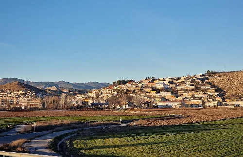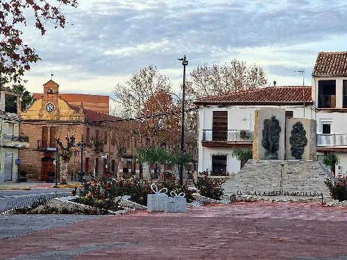
What is the Ayuntamiento de Santa Fe?
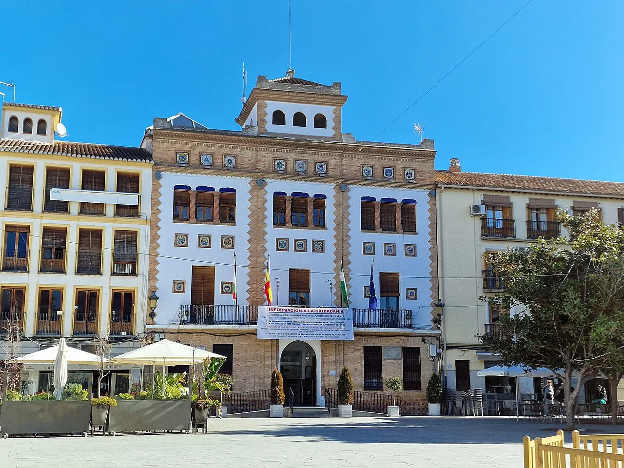
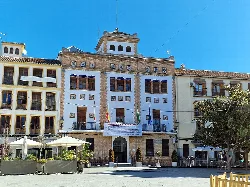
The Ayuntamiento de Santa Fe is the town hall located in the Plaza de España. This neomudéjar style building was constructed in 1931 and features three floors plus an attic. Its façade is adorned with bricks and glazed ceramic plates, showcasing the coats of arms of various Spanish-speaking countries, reflecting the town's historical ties to the Americas.
Sights
Ayuntamiento de Santa Fe
What is the Torre del Agua in Santa Fe?
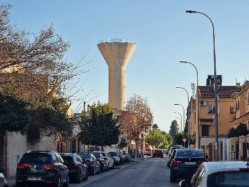
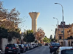
The Torre del Agua, also known as the water tower, is a notable structure visible from Calle Profesor Tierno Galván. It serves as a water reservoir and is an important landmark in Santa Fe. The tower's design is functional, reflecting the town's infrastructure needs, and it stands out in the local landscape.
Sights
Torre del Agua
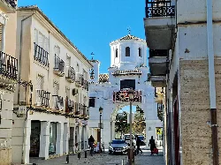
What can you tell me about the Puerta de Loja?
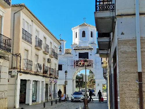
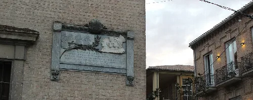
The Puerta de Loja is one of the historic gates of Santa Fe, located on Calle Real. Originally part of the town's fortifications, it has been restored and now features a chapel with a Baroque image of the Virgen del Carmen. This gate is significant for its architectural and historical value, representing the town's past.
History
Puerta de Loja
What is the significance of the Capitulaciones de Santa Fe?
The Capitulaciones de Santa Fe, signed on April 17, 1492, between the Catholic Monarchs and Christopher Columbus, are crucial historical documents. They outline the agreements regarding Columbus's expedition to the Indies and are considered one of the first written documents in the history of America. This event marked a significant moment in global exploration.
History
What is the climate like in Santa Fe?
Santa Fe experiences a Mediterranean continental climate, characterized by cool winters with frequent frosts and hot summers, often exceeding 35 °C. The temperature can fluctuate significantly, sometimes by over 20 °C in a single day. Rainfall is scarce outside the winter months, making it a dry region for much of the year.
Nature
For residents
Are there any local festivals in Santa Fe?
Santa Fe hosts various local festivals, including celebrations around the patron saint, San Agustín, which takes place on August 28. During this time, the community engages in processions and cultural events, reflecting the town's rich traditions and religious heritage. These festivities are an integral part of local life, bringing residents together.
Festivals & events
For residents
What types of food can I find in Santa Fe?
In Santa Fe, you can enjoy a variety of traditional Andalusian dishes. Local cuisine often features ingredients like olive oil, fresh vegetables, and seafood. Tapas are popular, offering a chance to sample different flavors. Additionally, the area's agricultural heritage means you can find delicious seasonal produce in local markets.
Food & drink
What is the history behind the Iglesia de Nuestra Señora de la Encarnación?
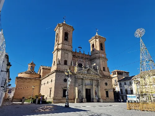
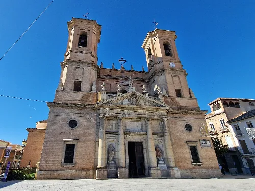
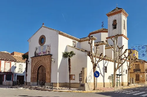
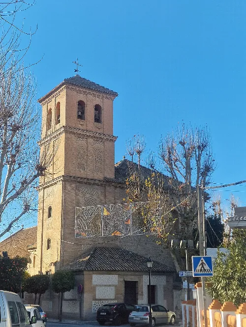
The Iglesia de Nuestra Señora de la Encarnación, built in the 18th century, replaced an earlier temple destroyed by an earthquake. Designed by architect Ventura Rodríguez, it features neoclassical elements and includes significant historical references, such as statues of the Catholic Monarchs. The church plays a vital role in the town's cultural and religious life.
History
Iglesia de Nuestra Señora de la Encarnación For residents
What wildlife can I see around Santa Fe?
Santa Fe's natural surroundings include extensive fields and the peri-urban park, Dehesa de Santa Fe, which is home to various species of birds and small mammals. Common wildlife includes the Eurasian eagle-owl, foxes, rabbits, and bats. The area's diverse flora, primarily consisting of pines and oaks, supports this rich biodiversity.
Nature
For residents
How is the local government structured in Santa Fe?
The local government of Santa Fe has been predominantly led by the PSOE since the first democratic elections. However, recent elections in 2023 saw the Partido Popular gain control, marking a significant political shift. The council consists of 17 members, with various parties represented, reflecting a dynamic political landscape in the municipality.
Living there
For residents
 espana.net