What can you tell me about the history of Pinos Puente?
Pinos Puente has a rich history dating back to the late Bronze Age, with significant evidence of Tartessian culture. The area saw Phoenician influence around the 8th century BC, leading to advancements in pottery and architecture. The town was mentioned in Roman military accounts and played a role in the Battle of the Vega de Granada in 1319. It later became a key location during the Reconquista and the establishment of agricultural industries in the 19th century.
History
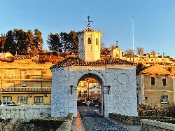
What is the significance of the Puente de Pinos Puente?
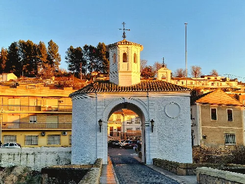
The Puente de Pinos Puente is a historic bridge with a caliphal origin, serving as a customs point in the past. It played a crucial role in controlling traffic along the route of the caliphate. This bridge not only connects the town but also symbolizes its historical importance in trade and transportation in the region.
Sights
Puente de Pinos Puente
What natural features are around Pinos Puente?
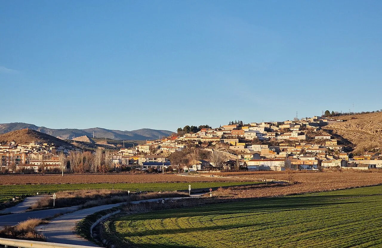
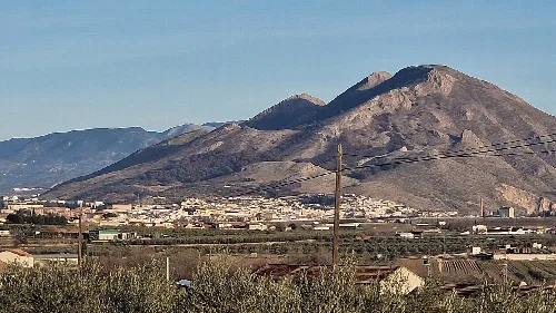
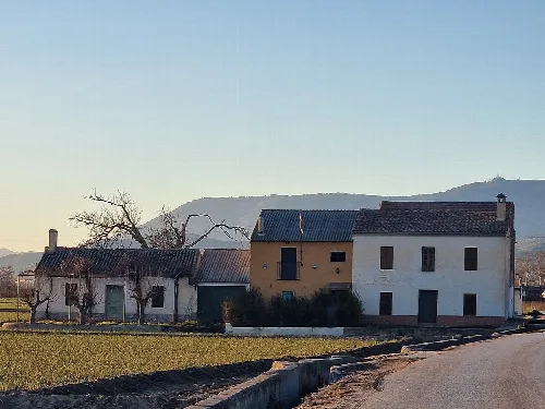
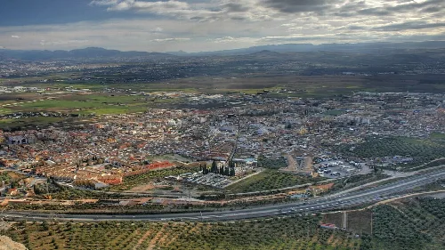
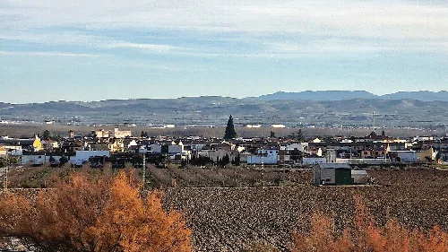
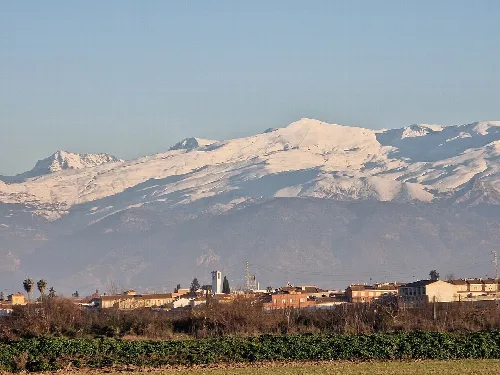
Pinos Puente is located in the fertile Vega de Granada, where the rivers Cubillas and Genil flow. The area is surrounded by the Sierra de Obeilar to the northwest and Sierra Elvira to the east, which reaches altitudes of 1,000 meters. This diverse geography supports various agricultural practices and offers beautiful landscapes for nature enthusiasts.
Nature
Are there any cultural events in Pinos Puente?
Yes, Pinos Puente hosts the Muestra de Teatro Ciudad de Pinos Puente, an annual theater festival held in November since 1991. This event showcases various theatrical performances and celebrates the local culture, attracting both residents and visitors to enjoy the arts in the community.
Festivals & events
What is the climate like in Pinos Puente?
Pinos Puente has a Mediterranean climate characterized by hot summers and mild winters. This climate supports the agricultural activities in the region, making it suitable for growing various crops, including sugar beets, which have historical significance in the area.
Nature
For residents
What educational facilities are available in Pinos Puente?
Pinos Puente offers several educational institutions, including the private center Jesús María, the Media Luna preschool, and the San Pascual Bailón primary school. The IES Cerro de los Infantes is a significant secondary school with around 700 students, serving both local and nearby communities.
Living there
For residents
What are some notable landmarks in Pinos Puente?
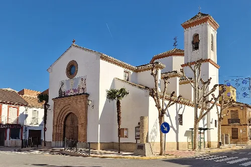
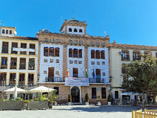
Pinos Puente is home to several notable landmarks, including the archaeological site at Cerro de los Infantes, the Puente de Pinos Puente, and the Church of Nuestra Señora de la Consolación. Additionally, the Centro de Interpretación Colombina highlights the historical meeting between Columbus and Isabel la Católica's emissary.
Sights
What is the Olmeda de El Alitaje?
The Olmeda de El Alitaje is a unique grove of elm trees, recognized for its tall trees exceeding twenty-five meters. This area is significant for its natural beauty and serves as the venue for the annual romería (pilgrimage) of Pinos Puente, attracting both locals and visitors to celebrate.
Nature
Olmeda de El Alitaje
How has Pinos Puente developed over the years?
Pinos Puente has evolved significantly, particularly in the 19th century with the rise of the sugar industry. The fertile lands and irrigation systems allowed for extensive agriculture. The town also saw administrative changes, such as the segregation of the local entity of Valderrubio in 2013, reflecting its ongoing development and community dynamics.
History
For residents
What are the main transportation options in Pinos Puente?
Pinos Puente is well-connected by major roads, including the N-432 and A-92, facilitating travel to Granada and surrounding areas. The town has a bus station with routes to nearby municipalities. However, the local train stations are currently out of service due to the construction of the high-speed line.
Practical
For residents
 espana.net