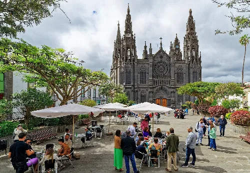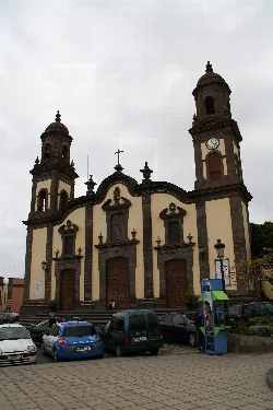
What can you tell me about the Church of Santa María de Guía?
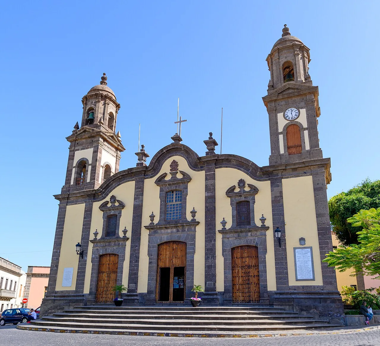
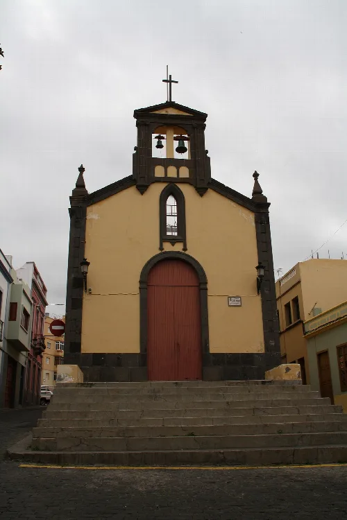
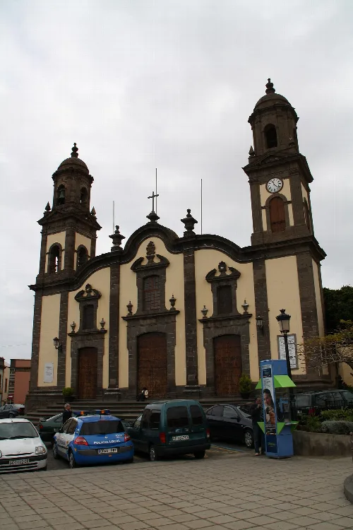
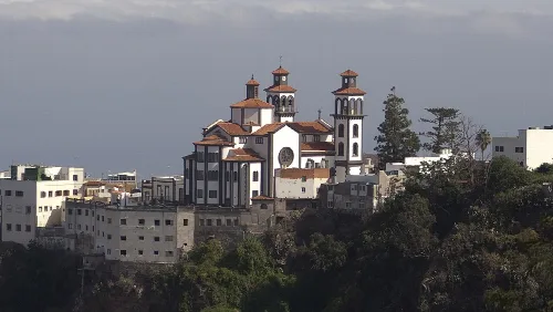
The Church of Santa María de Guía is a significant landmark in the municipality, reflecting its historical roots. Founded in the late 15th century, it has been a central place of worship and community gatherings. The church showcases a blend of architectural styles and is noted for its twin bell towers, making it a prominent feature in the town's landscape.
Sights
Church Santa María de Guía
What is the history behind the name Santa María de Guía de Gran Canaria?
The name Santa María de Guía de Gran Canaria evolved over centuries. Initially known as Aguía during the aboriginal period, it became Villa de Guía after the Spanish conquest. In the 20th century, the name was officially changed to incorporate Santa María, honoring the local church, which has been a focal point of the community since the 16th century.
History
For residents
What is the significance of the Fiesta de Las Marías?
The Fiesta de Las Marías is a cherished local tradition commemorating the Voto de Vergara from 1811, when farmers promised to honor the Virgin of Guía after a miraculous rain ended a locust plague. Celebrated every September, it features a procession and a romería, highlighting the community's gratitude and connection to their heritage.
Festivals & events
What are the main agricultural products of Santa María de Guía?
Santa María de Guía has a rich agricultural tradition, primarily focusing on banana cultivation, potatoes, and various vegetables. The region's fertile land supports diverse crops, including tropical fruits and traditional grains, contributing significantly to the local economy and sustaining its agricultural heritage.
Food & drink
For residents
What can I expect to see during the Fiesta del Queso?
The Fiesta del Queso, held at the end of April, celebrates the region's cheese-making traditions, particularly the renowned Queso de Flor. Visitors can enjoy tastings, traditional music, and artisan demonstrations. The event highlights local culture and attracts many tourists eager to experience the culinary delights of the area.
Festivals & events
What is the landscape like in Santa María de Guía?
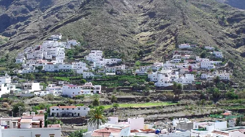
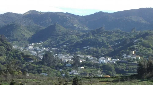
Santa María de Guía features a diverse landscape, including rocky coastlines, lush agricultural areas, and mountainous regions. The municipality's geography includes three distinct zones: the coastal area, the midlands with laurisilva forests, and the highlands with volcanic cones, offering stunning views and rich biodiversity.
Nature
For residents
What are the main attractions in La Atalaya?
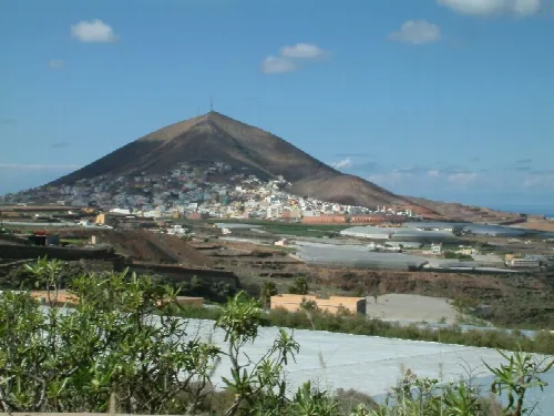
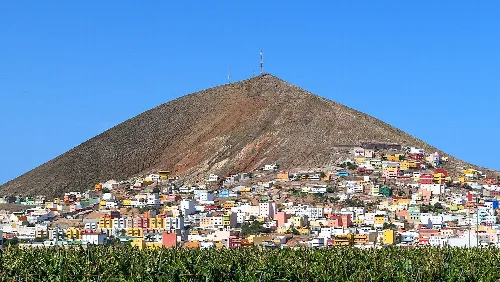
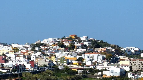
La Atalaya is the largest population center in Santa María de Guía, known for its scenic views and proximity to the Pico de la Atalaya. Visitors can explore local shops, enjoy traditional cuisine, and experience the vibrant community life, making it a great starting point for discovering the municipality's charm.
Sights
How does the local climate affect agriculture in Santa María de Guía?
The subtropical climate of Santa María de Guía, characterized by its three altitudinal zones, significantly influences agriculture. The coastal area is ideal for growing bananas and vegetables, while the midlands support a variety of crops, benefiting from the region's rainfall and fertile soil, essential for sustaining local farming practices.
Nature
For residents
What is the significance of the Semana Santa celebrations here?
Semana Santa in Santa María de Guía is a deeply rooted tradition, featuring various processions and religious events. Notably, the Processión del Santo Encuentro and the Processión Magna showcase intricate sculptures by the renowned artist José Luján Pérez, highlighting the town's rich cultural and artistic heritage during this sacred time.
Festivals & events
What are the local traditions related to cheese-making?
Cheese-making is a vital tradition in Santa María de Guía, particularly the production of Queso de Flor. The local community celebrates this heritage through events like the Fiesta del Queso, where artisans demonstrate traditional techniques, and visitors can sample various cheeses, reinforcing the cultural significance of this craft.
Food & drink
For residents
 espana.net