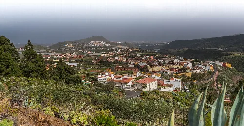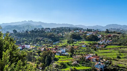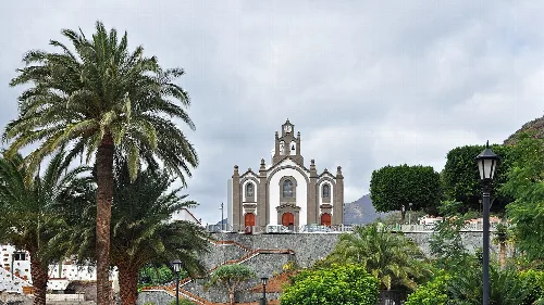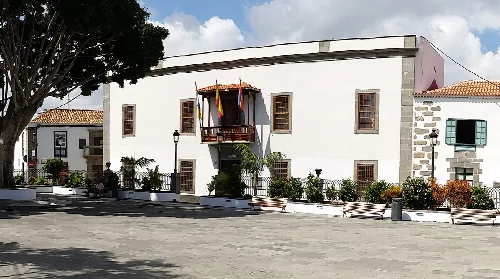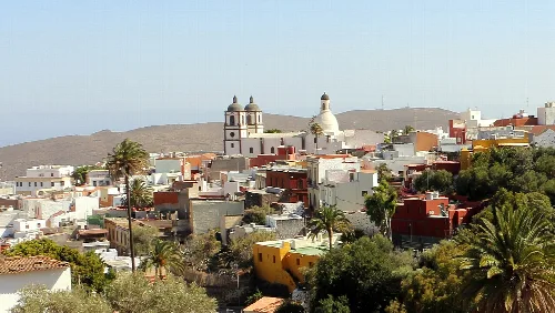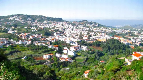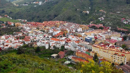
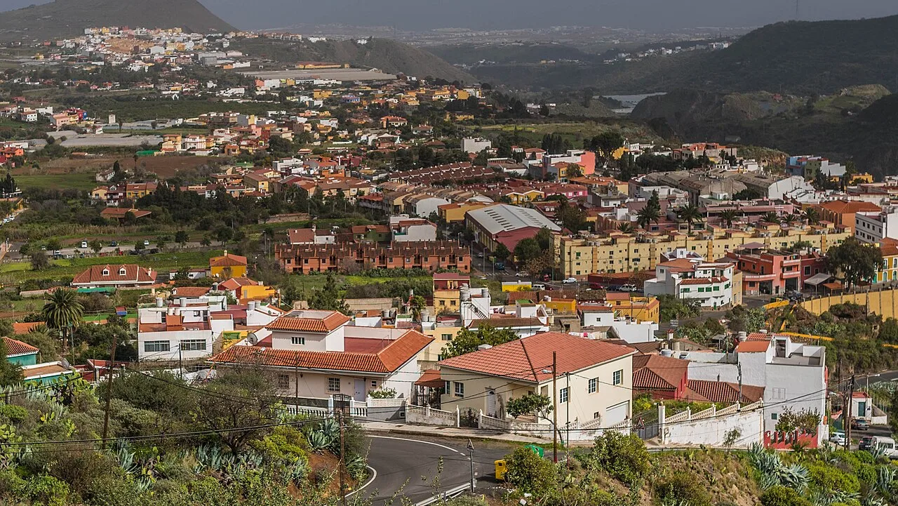
Houses and hills in Valsequillo de Gran Canaria. Bengt Nyman from Vaxholm, Sweden, CC BY 2.0

Valsequillo de Gran Canaria

Canary Islands

9,869Population
39.15 km²Area
56 mElevation
35217Postal code

Valsequillo de Gran Canaria is a municipality located in the eastern central part of Gran Canaria, within the province of Las Palmas. Known for its agricultural heritage and natural beauty, it features the celebrated Almendro en Flor festival and significant protected areas.

02Geography

Valsequillo de Gran Canaria is situated in the central-eastern region of Gran Canaria, bordered by several municipalities including Telde and Santa Brígida. The municipality primarily occupies the midlands and does not have direct access to the sea, with its highest point being Montaña de los Bizcochos.

Patron saint
San Miguel Arcángel
Protected areas
Los Marteles, Lomo Magullo, Las Cumbres
Climate type
Semi-arid cold
Average annual temperature
17.7 °C
Average annual precipitation
249 mm

03History

The pre-Hispanic history of Valsequillo is closely tied to indigenous religious practices, particularly at the Almogarén on El Helechal mountain. Following the conquest, agriculture and livestock became central to the local economy, with significant cultivation of vines and fruit trees.

Valsequillo de Gran Canaria is known for its agriculture, natural beauty, and cultural festivals in the Canary Islands.

04Culture and Economy

Valsequillo's economy is largely based on agriculture, particularly the export of strawberries and floral products. The Almendro en Flor festival in February celebrates the region's almond trees, which are integral to its cultural identity.
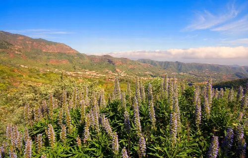
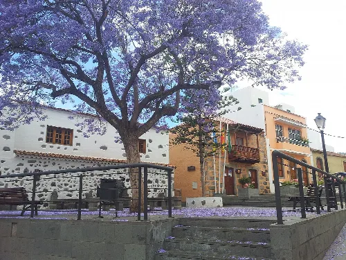
Blue tajinaste flowers with mountains and blue sky in Valsequillo de Gran Canaria
View of Valsequillo de Gran Canaria with blue tajinaste in foreground and mountains in the background
Square with a large tree, buildings, and stairs in Valsequillo de Gran Canaria.
Plaza del Pilar in Valsequillo de Gran Canaria, next to San Miguel Arcángel church and the town hall.
Valsequillo de Gran Canaria · Data
Province
Las Palmas
Autonomous community
Canary Islands
Population
9,869
Area
39.15 km²
Elevation
56 m
Postal code
35217
Website
http://www.valsequillogc.es/
Coordinates
27.9808, -15.4989

Photos

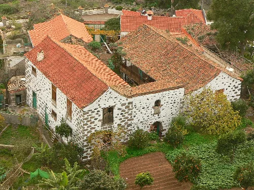
Stone house with red tiled roof in Valsequillo de Gran Canaria.
Stone house with red tiled roof in the Barranco de San Miguel, Valsequillo de Gran Canaria.
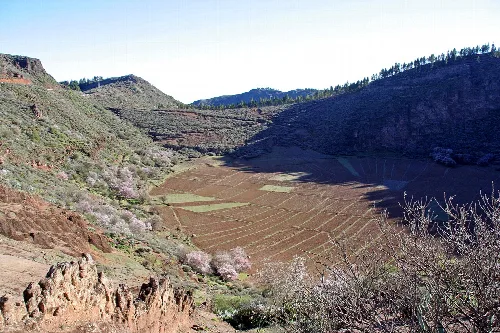
Landscape of the caldera with terraces and green hills in Valsequillo.
View of the Caldera de los Marteles with agricultural terraces in Valsequillo de Gran Canaria.
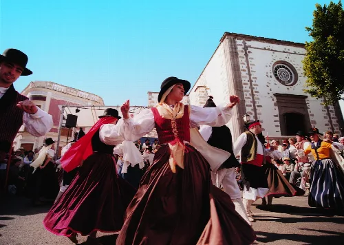
People in traditional costumes dancing in a square in Valsequillo de Gran Canaria
Traditional dance during the Almond Blossom Route celebration in Valsequillo de Gran Canaria
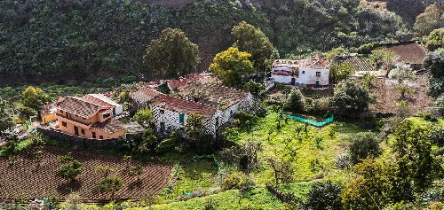
Aerial view of houses and fields on a hillside in Valsequillo de Gran Canaria.
Rural landscape in Valsequillo de Gran Canaria with houses and fields on a hillside.
Landscape of houses and mountains in Valsequillo de Gran Canaria.
Panoramic view of Valsequillo de Gran Canaria with mountains and scattered houses.

Map

Nearby

Town hall building in San Juan Square in Telde.
Telde
Las Palmas · 104,168 inhabitants
Panoramic view of Ingenio's old town from El Sequero with churches and houses.
Ingenio
Las Palmas · 32,905 inhabitants
Panoramic view of Teror with white houses and greenery on hills.
Teror
Las Palmas · 13,211 inhabitants

Own text, written with AI assistance from the facts in Wikipedia · Valsequillo de Gran Canaria · Data: Wikidata Q914195 · Photos: Wikimedia Commons, see individual licenses. · CC BY-SA 4.0