espana.net
 Anxo Soto, CC BY-SA 3.0
Galicia
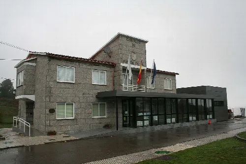
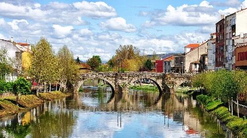
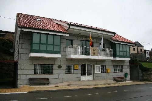
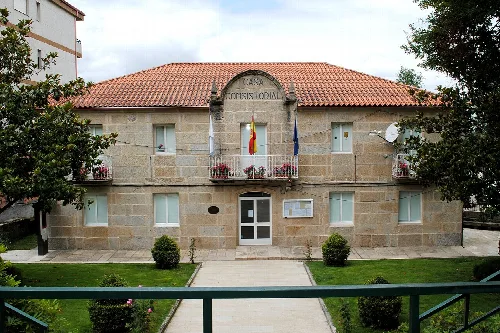
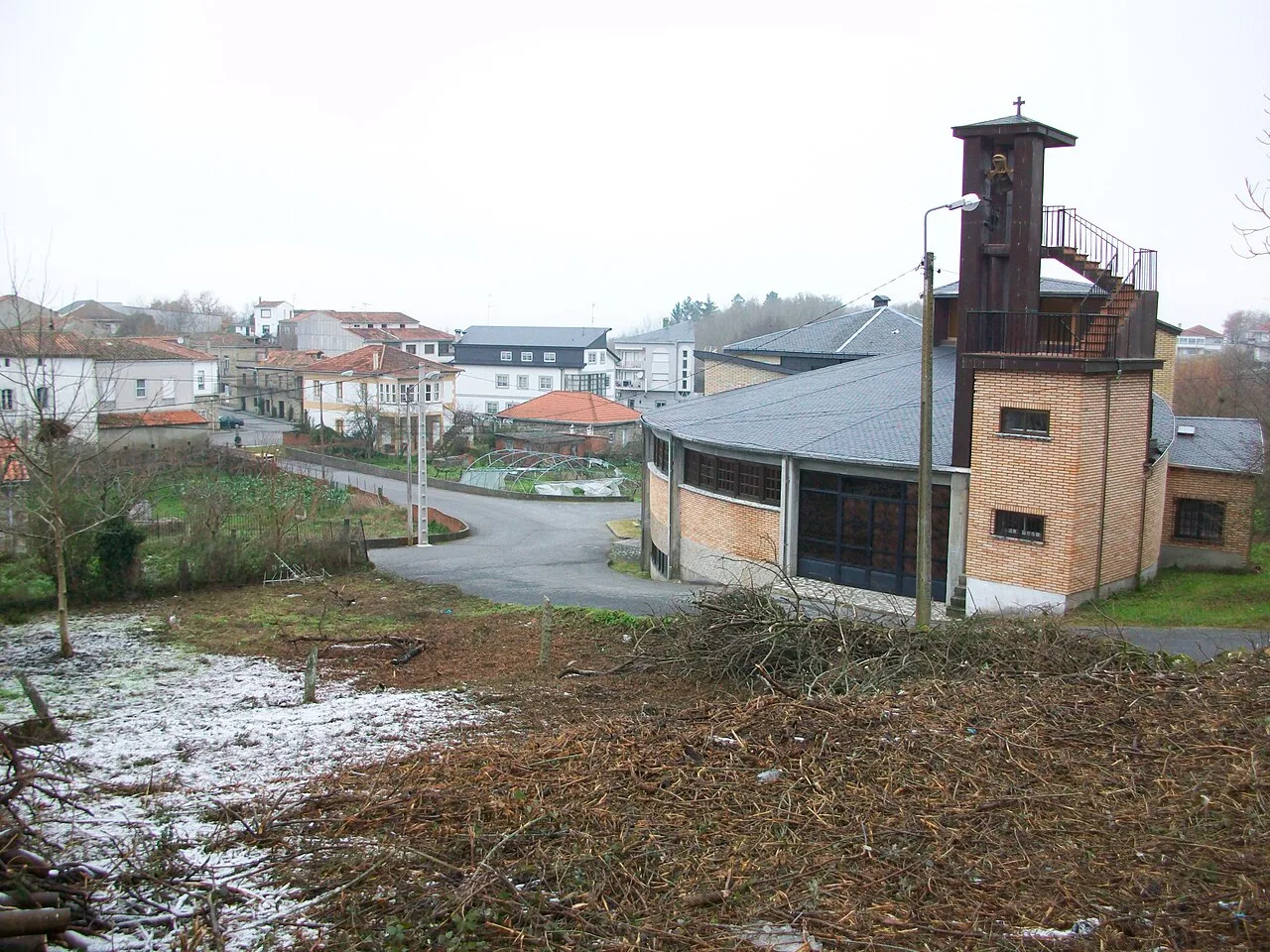
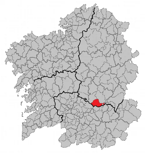
Sober is a municipality located in the province of Lugo, Galicia, with a population of 2,090. It is characterized by its rich historical heritage, stunning natural landscapes, and significant archaeological sites.
Sober is situated in the southern part of Lugo province, bordering Ourense. The municipality is framed by the Sil Basin, with several rivers flowing through it, including the Cabe and the Sil. The Sil Canyon, with its impressive granite walls, is a notable natural feature, and the area is part of a Natura 2000 protected zone.
Sober's history is shaped by its strategic location as a crossroads between regions. The fertile lands have been valued since ancient times, attracting feudal lords and monasteries. Evidence of early human settlement includes Neolithic burial sites and petroglyphs, indicating a rich prehistoric culture.
Sober is a municipality in Lugo, Galicia, known for its historical heritage and natural beauty.
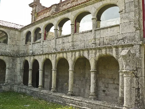
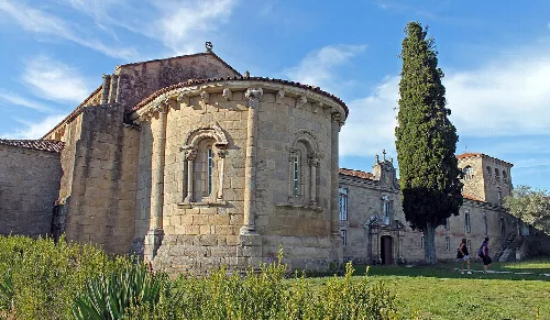
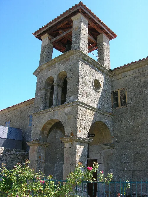
Sober is home to various historical and archaeological sites, showcasing its rich cultural heritage. Notable structures include churches from the Romanesque period and prehistoric monuments, reflecting the area's long history of settlement and artistic expression.
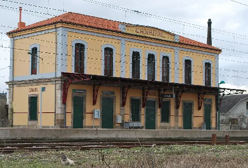
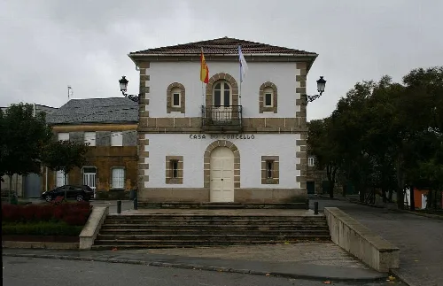
The main access road to Sober is the National Road N-120, which runs near the northern boundary of the municipality. This road connects Sober to Monforte de Lemos in the north and to Ourense in the south.
Own text, written with AI assistance from the facts in Wikipedia · Sober, Lugo · Data: Wikidata Q1442183 · Photos: Wikimedia Commons, see individual licenses. · CC BY-SA 4.0