What is the history of the Castillo de Álora?
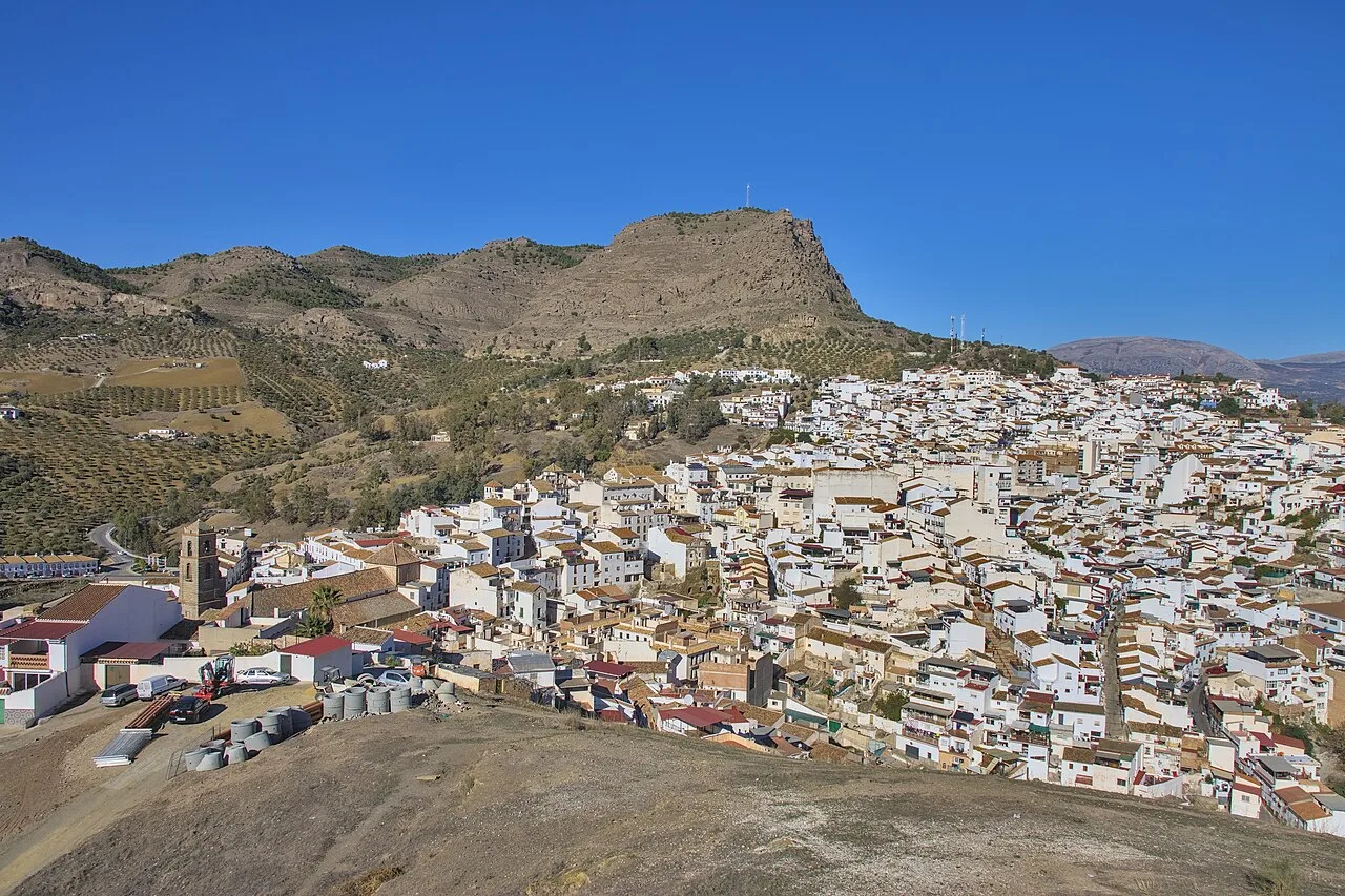
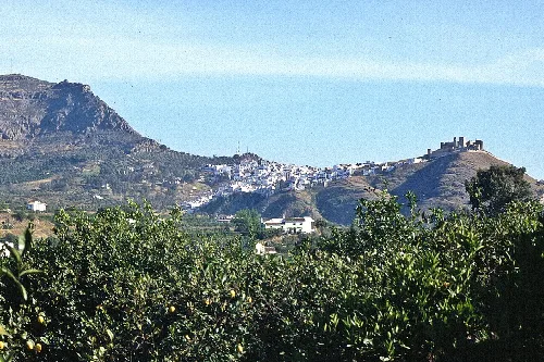
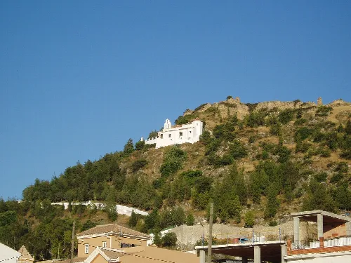
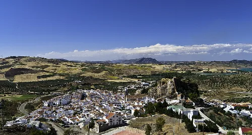
The Castillo de Álora, located on the Cerro de Las Torres, has origins dating back to the Phoenicians and Romans. It was constructed during the Islamic period, with significant fortifications added during the Emirate and later periods. The castle features two distinct walled enclosures and served as a strategic lookout point. It was a vital stronghold during the Reconquista, eventually falling to the Catholic Monarchs in 1484.
History
Castillo de Álora
What can I expect to see in the Desfiladero de los Gaitanes?
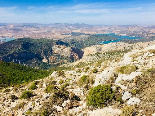
The Desfiladero de los Gaitanes is a stunning canyon located in El Chorro, featuring walls over 100 meters high. It's known for its breathtaking landscapes and the famous Caminito del Rey, a walkway that clings to the cliffs. This area is also popular for climbing and offers diverse geological formations, making it a must-visit for nature lovers.
Nature
Desfiladero de los Gaitanes
What kind of food is typical in Álora?
In Álora, you can enjoy traditional Andalusian cuisine, which often includes dishes like gazpacho, fried fish, and various tapas. The region is also known for its olive oil and citrus fruits, which are staples in local cooking. Don't miss trying local specialties during festivals or at family-run restaurants for an authentic experience.
Food & drink
What are the main events celebrated in Álora?
Álora hosts several vibrant events throughout the year, including the Feria de Álora, a lively fair featuring music, dancing, and local cuisine. Another significant event is Semana Santa (Holy Week), which showcases traditional processions. These celebrations reflect the rich cultural heritage of the town and are great opportunities to experience local customs.
Festivals & events
How is the public transport in Álora?
Álora is well-connected by public transport, featuring three train stations. The main station serves the Cercanías Málaga line, linking Álora to Málaga and other cities. Additionally, there are interurban bus routes available, making it convenient for residents and visitors to travel within the region and beyond.
Practical
For residents
What is the significance of the Hoyo del Conde in Álora?
Hoyo del Conde is an archaeological site near Álora that reveals evidence of prehistoric human activity. It features tools and artifacts from early inhabitants, showcasing the area's long history of settlement. This site highlights the ecological advantages that attracted early communities to the region, making it a point of interest for history enthusiasts.
History
Hoyo del Conde
What are the natural landscapes like around Álora?
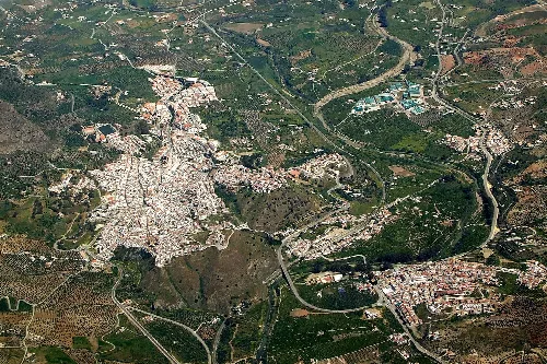
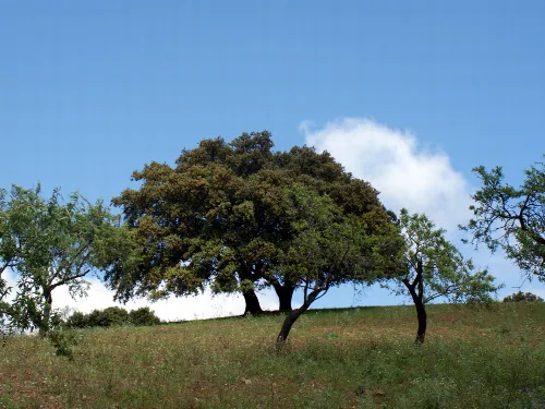
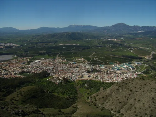
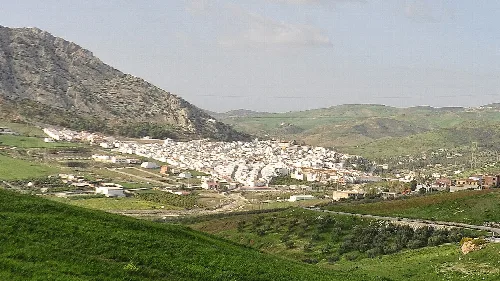
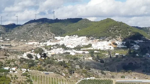
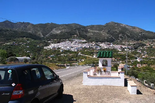
The landscapes around Álora are diverse, featuring the fertile Valle del Guadalhorce, characterized by citrus and olive groves. The surrounding mountains, including the Sierra de Huma and Sierra de Aguas, offer stunning views and hiking opportunities. This blend of valleys and mountains creates a picturesque environment for outdoor activities.
Nature
What is the local community like in Álora?
The community in Álora is known for its friendly and welcoming atmosphere. Residents, known as aloreños, often engage in local traditions and festivals, fostering a strong sense of identity. The town maintains a blend of historical heritage and modern living, making it an appealing place for families and newcomers.
Living there
For residents
What is the best way to explore the town of Álora?
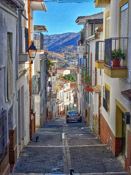
To explore Álora, consider walking through its charming streets, where you can admire traditional architecture and local shops. Visiting the Castillo de Álora offers panoramic views of the town and surrounding landscapes. Don't forget to enjoy local tapas at nearby eateries and participate in community events for an immersive experience.
Sights
What is the significance of the name 'perote'?
The term 'perote' is believed to originate from the first regidor of Álora, Don Pero, shortly after the Reconquista. This name reflects the town's historical roots and local identity. Residents often refer to themselves as aloreños or perotes, highlighting their connection to the town's rich history and culture.
History
For residents
 espana.net