espana.net
 Feranza, CC BY-SA 3.0
Andalusia
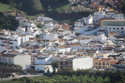
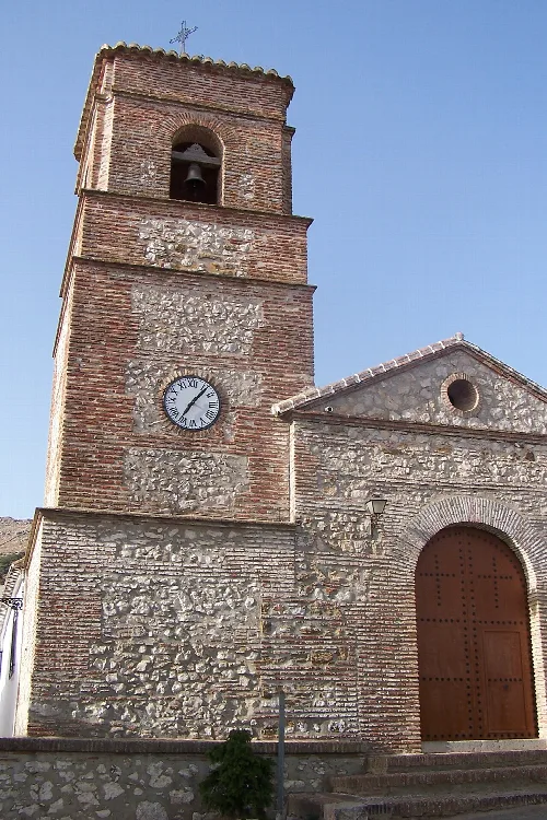
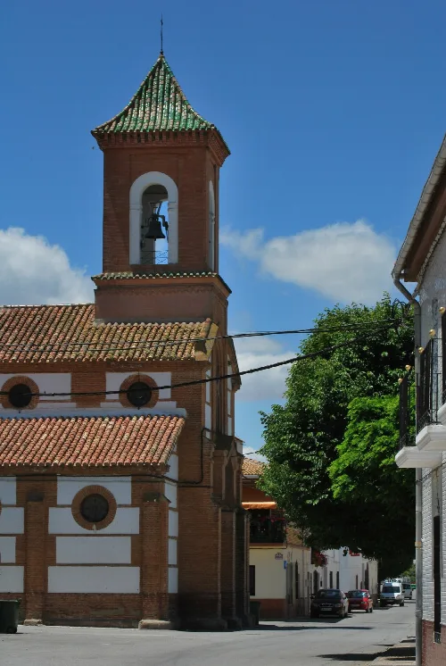
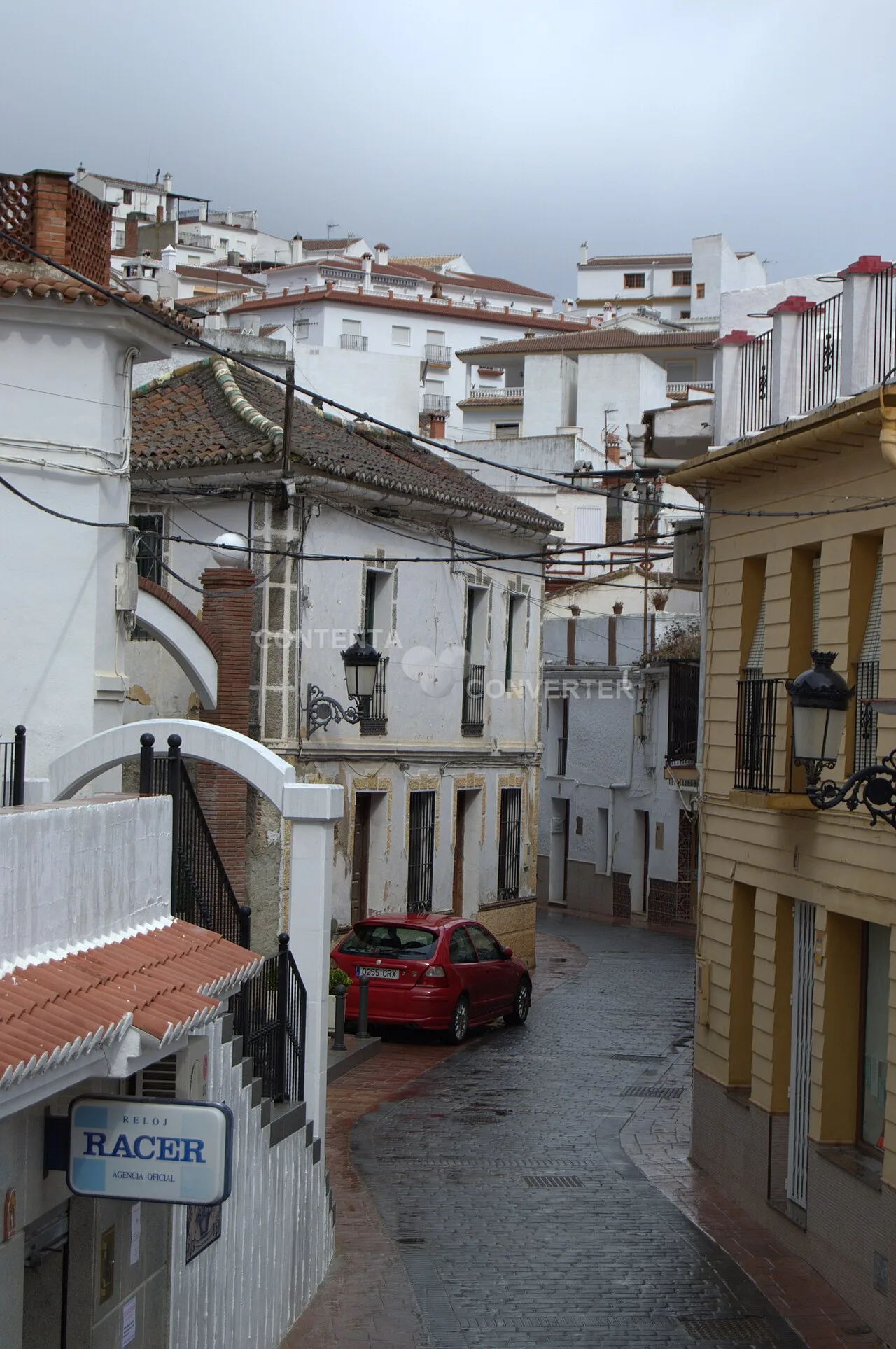
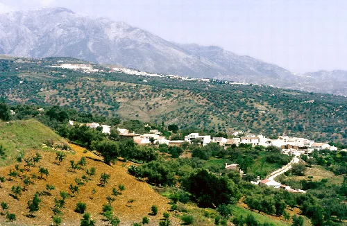
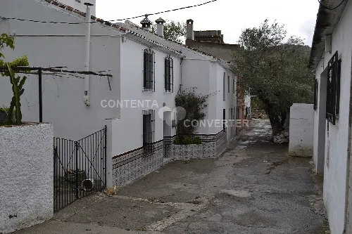
Periana is a municipality located in the province of Málaga, Andalusia, known for its mountainous surroundings and agricultural production. It is part of the Axarquía comarca and features a rich cultural heritage, including various local festivities.
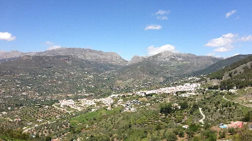
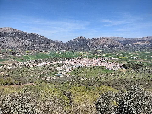
Periana is characterized by its mountainous terrain, surrounded by notable ranges such as the Sierra de Alhama and Sierra de Enmedio. The landscape features gentle hills and valleys, with the river Guaro flowing nearby, creating a fertile area for agriculture. The region is known for its olive groves and fruit orchards, particularly peach and citrus trees, contributing to its agricultural productivity.
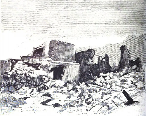
The history of Periana includes significant events such as the devastating earthquake in 1884, which resulted in the loss of lives and destruction of many homes. The area is also home to the historic Balneario de Vilo, a once-famous spa known for its healing waters, which attracted visitors in the 18th and 19th centuries.
Discover Periana, a picturesque municipality in Málaga, Andalusia, known for its agriculture and vibrant local festivals.
Periana hosts a variety of local festivals throughout the year, celebrating its agricultural heritage and community spirit. These events often feature traditional food, music, and cultural activities, drawing both locals and visitors.
Own text, written with AI assistance from the facts in Wikipedia · Periana · Data: Wikidata Q732206 · Photos: Wikimedia Commons, see individual licenses. · CC BY-SA 4.0