espana.net
 La fabrica de nubes, CC BY-SA 3.0
Galicia
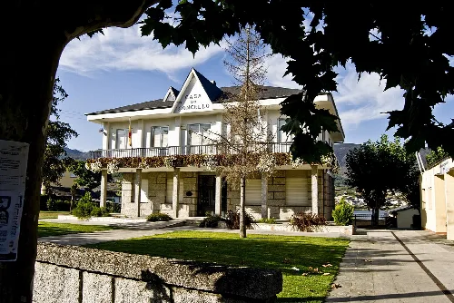
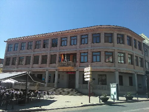
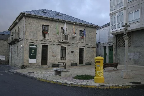
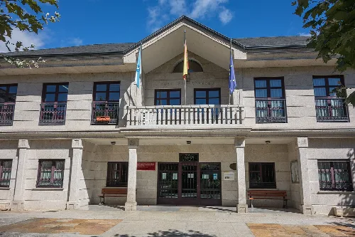
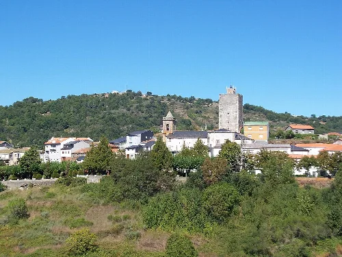
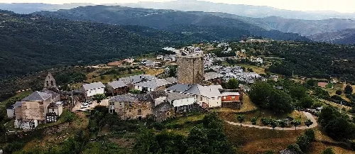
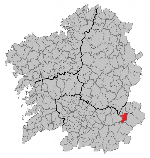
O Bolo, also known as El Bollo, is a municipality located in the province of Ourense, Galicia, with a population of 789. Characterized by its mountainous terrain and rich historical background, it features notable landmarks such as the O Bolo Castle Museum and the Sanctuary of Santa María das Ermidas.
Situated in the eastern part of Ourense province, O Bolo is approximately 65 kilometers from the provincial capital. The municipality is characterized by rugged mountainous terrain, with higher elevations to the east and a flatter landscape to the west. The Bibei River runs through the area, marking the boundary between O Bolo and Manzaneda.
O Bolo has a rich history dating back to Roman times, with early references to a settlement called Volobriga. Over the centuries, it experienced various political changes, including the influence of the Suebi and Visigoths, and later the construction of a castle in the medieval period. The municipality gained privileges from the Castilian-Leonese monarchs, which led to ongoing legal disputes.
O Bolo is a municipality in Galicia known for its mountainous landscape and historical sites, including a castle museum and a sanctuary.
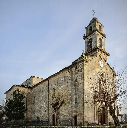
O Bolo is home to several notable attractions, including the O Bolo Castle Museum, which offers an interactive experience of the fortress's history. Another significant site is the Sanctuary of Santa María das Ermidas, known for its miraculous origins and baroque architecture.
The economy of O Bolo is primarily based on traditional agriculture and livestock farming, with a focus on goat and cattle rearing. The area is also known for its wine production within the Valdeorras region, and chestnuts are a valued product due to the abundance of chestnut trees.
Own text, written with AI assistance from the facts in Wikipedia · O Bolo · Data: Wikidata Q1617349 · Photos: Wikimedia Commons, see individual licenses. · CC BY-SA 4.0