espana.net
 loisrua (Luis Sánchez García) from A Rua (Ourense), España, CC BY-SA 2.0
Galicia
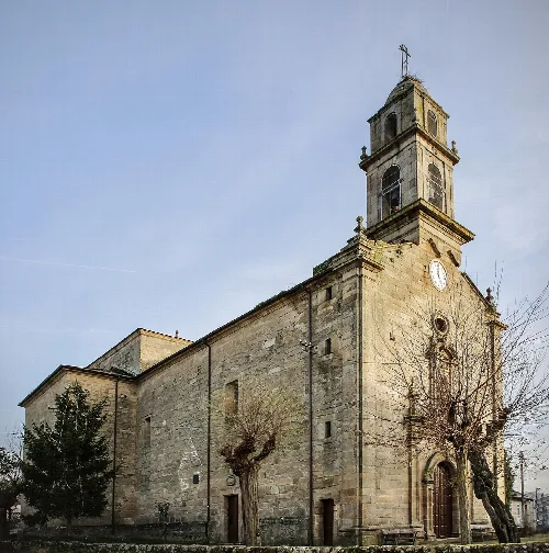
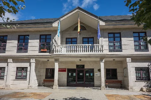
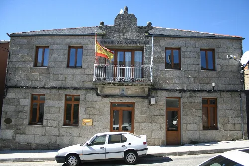
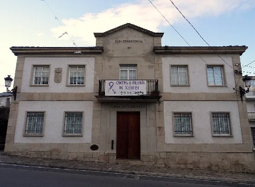
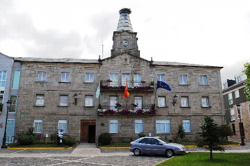
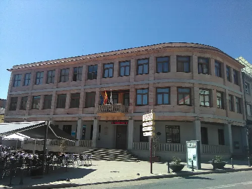
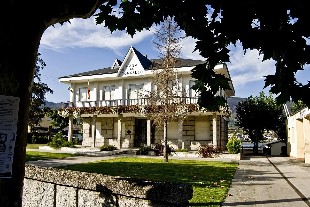
Petín is a municipality located in the province of Ourense, Galicia, known for its rich history and cultural heritage. Nestled in the Sil Valley, it features significant historical structures and vibrant local festivals.
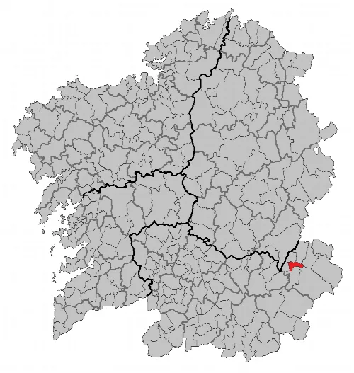
Petín is situated in the Sil Valley and shares borders with several municipalities, including La Rúa and Villamartín de Valdeorras to the north, El Barco de Valdeorras to the east, and El Bollo and La Vega to the south. The region experiences a transition between oceanic Mediterranean and oceanic Atlantic climates, resulting in a mean annual temperature of 15.6 °C and average annual precipitation of 763 mm, with a notable dry season in summer.
Petín has been inhabited since prehistoric times, with its rich mineral resources, particularly gold, attracting Roman settlers. Originally established as the council of Freixido, it adopted its current name in 1835. Notable historical sites include the Castro de Mones, the Puente de la Cigarrosa, and the 18th-century Ermita and Puente de Portomourisco.
Discover Petín, a historic municipality in Galicia with rich cultural heritage and lively festivals.
Petín hosts a variety of festivals throughout the year, reflecting its cultural vibrancy. The Feria histórica de 1812 commemorates the local resistance against Napoleonic troops, while the Fiestas de Verano celebrate Santiago Apóstol and Santa Ana with music and activities. Other events include the Rutas das Adegas wine route and the Fiesta de San José, showcasing the community's traditions and culinary delights.
Own text, written with AI assistance from the facts in Wikipedia · Petín · Data: Wikidata Q670366 · Photos: Wikimedia Commons, see individual licenses. · CC BY-SA 4.0