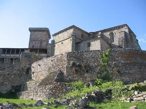
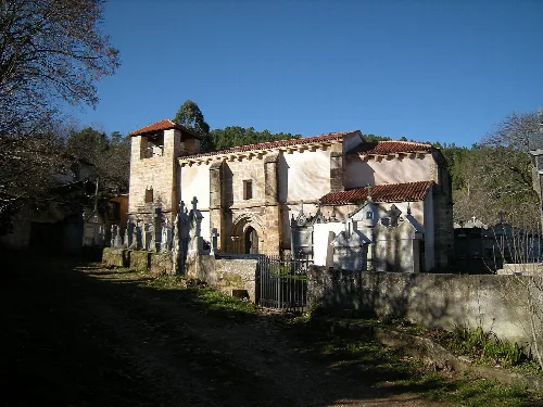
O Riós is a municipality located in the province of Ourense, Galicia, characterized by its rich history and natural landscapes. Nestled between hills and rivers, it features a unique toponymy and a diverse ecosystem.
02Geography
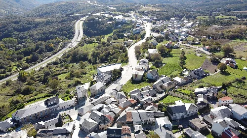
The municipality of O Riós is situated in a transitional area between highlands and the valley of the river Támega. It features a varied topography with rolling hills and numerous streams, averaging an elevation of 600-800 meters. The region is rich in water resources, with notable rivers such as Mente, Arzoá, and Marcelín contributing to the local ecosystem.
Climate
Oceanic mountain climate with Mediterranean influences
Average temperature
Around 10 °C
Annual precipitation
Approximately 1200 mm
Main flora
Castaño (chestnut tree) and oak forests
Highest peak
Urdiñeira (1148 m)
03History
The area now known as O Riós has a rich historical background, originally inhabited by the interamnios people. It became a significant stop on the Camino de Santiago during the Middle Ages. Over the centuries, it has experienced various administrative changes, including the establishment of its own municipality in 1835.
First inhabitants Interamnios, known for their fishing
Medieval significance Part of the Camino de Santiago
Jurisdiction in the Middle Ages Souto Bermudo, under the lordship of Monterrey
Municipality establishment O Riós became a municipality in 1835
O Riós is a municipality in Ourense, Galicia, known for its rich history, natural landscapes, and cultural festivals.
04Economy
Historically, O Riós has relied on agriculture and livestock, with notable production of chestnuts, potatoes, and maize. However, due to population decline and aging demographics, traditional farming practices have diminished, leading to a shift towards chestnut harvesting and ecological projects.
Main agricultural products Chestnuts, potatoes, maize
Livestock types Bovine, porcine, avian
Recent agricultural trends Increase in chestnut harvesting and mushroom collection
Challenges faced Decline in traditional farming and livestock numbers
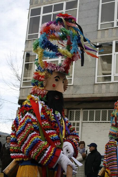
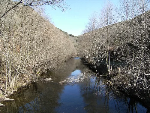
A figure with an old mask and colorful costume participates in a celebration in Riós, Ourense.Mente River near Passos de Lomba village in Riós, Orense.
05Cultural Heritage
O Riós is home to several historical monuments, including Baroque churches and an ancient bridge over the river Mente. The region's rich natural landscapes and forests also contribute to its cultural significance.
Notable churches Santa María de Riós, Santa María de Castrelo de Abaixo
Historical bridge 18th-century bridge over the river Mente
Cultural sites Ancient water mill in A Silva, various castros
06Festivities
The most significant celebration in O Riós occurs on August 15, coinciding with the Feast of the Assumption. Other notable events include the Festa da Castaña e do Cogumelo and the Festival das Artes Escénicas, which showcases local culture and talent.
Main festival August 15, Feast of the Assumption
Festa da Queimada September, in honor of the Virgen de los Remedios
Festa da castaña e do cogumelo Celebration of local gastronomy
Festival das Artes Escénicas Annual cultural festival held on August 13-14
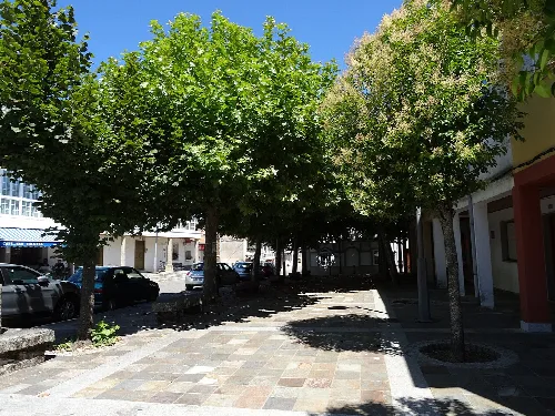
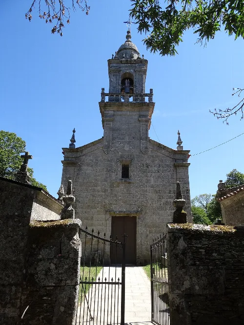
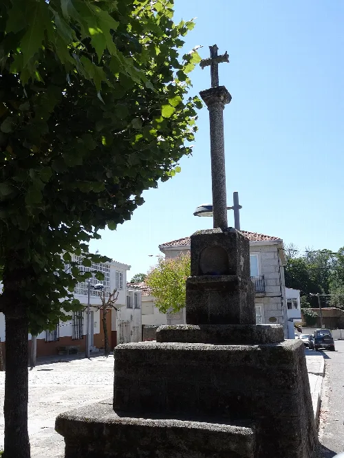
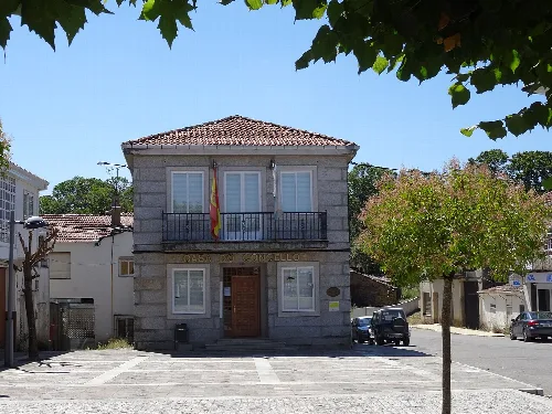
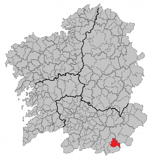
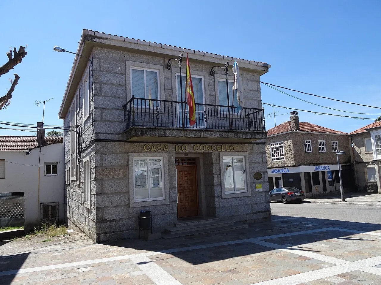
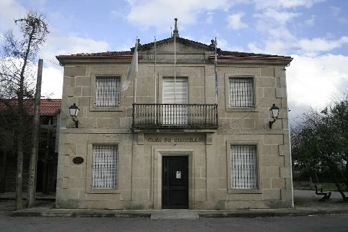
Town hall square in Riós with trees providing shade in the pedestrian area.The Church of Sta. María de Riós, with a bell tower and decorative details on the facade.Stone cross in the Riós square, surrounded by trees and houses.Stone-faced building of Riós Town Hall in Ourense with a balcony on the upper floor.Map of the Riós municipality in Orense province, southern Galicia.
Frequently asked questions
What is the Casa do Concello in Riós?
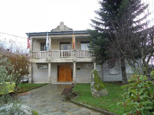
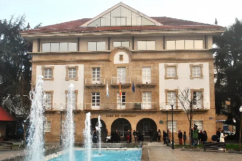
The Casa do Concello is the town hall of Riós, serving as the administrative center for the municipality. This building reflects the local architecture and plays a vital role in the governance and organization of community affairs. It is situated in the town square, making it easily accessible for residents and visitors alike.
What is the significance of the Vellarón mask in Riós?
The Vellarón is a traditional mask from the Carnival of Castrelo de Cima, which is currently being revived. This mask features colorful decorations and is part of the cultural heritage of the region. The revival efforts aim to preserve local traditions and customs associated with the carnival festivities.
What can you tell me about the River Mente near Riós?
The River Mente flows close to the village of Passos de Lomba and is one of the notable watercourses in the municipality. It contributes to the area's rich biodiversity and scenic landscapes, making it a peaceful spot for nature lovers and those interested in outdoor activities.
Riós traditionally relies on agriculture and livestock, with key products including potatoes, corn, and chestnuts. The region is known for its abundant chestnut forests, which are a significant part of the local economy. Other crops, like wheat and barley, have seen a decline in recent years due to changing agricultural practices.
Riós has a rich history, with roots tracing back to the interamnios people. It served as a vital stop on the medieval pilgrimage route, the Ruta de la Plata, linking Castilla to Santiago de Compostela. The area has witnessed various historical events, especially due to its border location with Portugal.
Riós experiences an oceanic mountain climate, characterized by cold winters and mild summers. Average temperatures hover around 10 °C, with frequent frosts in winter and annual precipitation around 1200 mm. The unique climate supports diverse flora and fauna in the region.
Riós hosts several important festivities, including the Festa da Castaña e do Cogumelo in autumn, celebrating local produce. The Queimada festival in September honors the Virgen de los Remedios. Additionally, the Festival das Artes Escénicas, held in August, showcases Galician culture through music and theater.
The main church in Riós is the Baroque-style church of Santa María, completed in 1718. It is an important religious site for the community and reflects the architectural style of the period. Other notable churches in the area include those in Castrelo de Abaixo and Progo.
The economy of Riós is undergoing significant changes due to depopulation and aging demographics. Traditional agriculture and livestock farming are declining, while new initiatives, such as chestnut collection and ecological projects, are emerging. However, many farms struggle with profitability due to their small size.
Riós is characterized by its hilly terrain, with numerous valleys and rivers, including the Mente and Arzoá. The landscape is rich in forests of chestnut and oak trees, contributing to its natural beauty. The region's elevation and varied topography create a unique ecological environment.
 espana.net