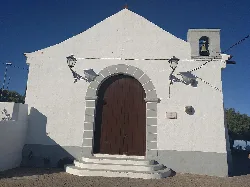
What is the Ermita de Nuestra Señora del Rosario?
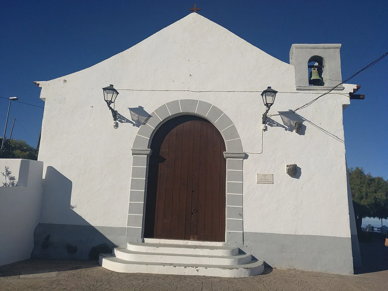
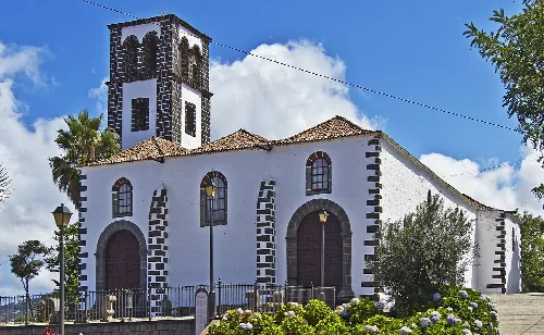
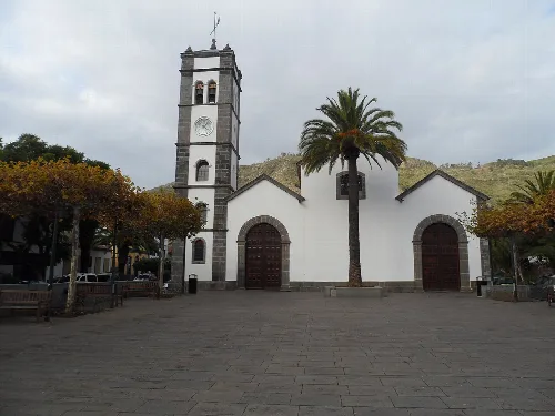
The Ermita de Nuestra Señora del Rosario is a historic chapel located in Machado, Tenerife. Built in the late 18th century, it serves as a significant religious site and is dedicated to the patron saint of the municipality, the Virgin of the Rosary. The chapel is recognized for its cultural importance and is classified as a Bien de Interés Cultural (BIC).
Sights
Ermita de Nuestra Señora del Rosario
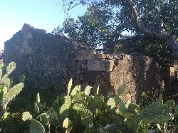
What can you tell me about the Casa de Amaro Pargo?
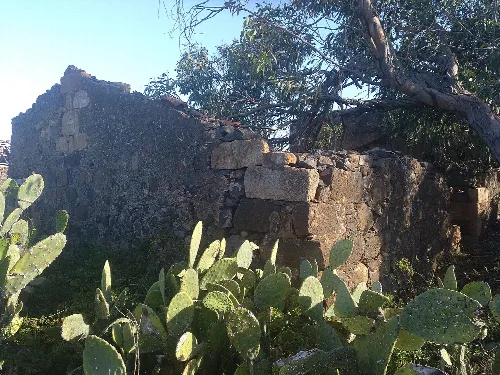
The Casa de Amaro Pargo, located in Machado, is a historical site associated with the famous corsair Amaro Pargo. The ruins of this house reflect the area's rich maritime history and are classified as a Bien de Interés Cultural (BIC). It offers a glimpse into the past and the life of this notable figure in Tenerife's history.
History
Casa de Amaro Pargo
What are the main agricultural products grown in El Rosario?
El Rosario's agriculture is diverse, with potatoes being the dominant crop, especially in the higher areas. Other significant crops include grapes, particularly in the areas between 650 and 900 meters above sea level. The region also produces various fruits like plums and pears, primarily for local consumption.
Food & drink
For residents
Are there any protected natural areas in El Rosario?
Yes, El Rosario contains part of the protected natural area known as Las Lagunetas, which is designated as a Special Conservation Area and a Special Protection Area for Birds under the Natura 2000 network. This area supports diverse flora and fauna and is essential for conservation efforts.
Nature
For residents
What is the significance of the Virgen del Rosario in the municipality?
The Virgen del Rosario is the patron saint of El Rosario, and the municipality is named in her honor. She plays an important role in the local culture and religious practices, with various celebrations and events dedicated to her throughout the year, especially on her feast day.
Festivals & events
What kind of outdoor activities can I do in El Rosario?
El Rosario offers various outdoor activities, particularly hiking and water sports. The area is known for its scenic trails in the forests and along the coast, making it ideal for nature enthusiasts. Additionally, the coastal areas around Radazul provide opportunities for diving and sailing.
Nature
How has the population of El Rosario changed over time?
El Rosario has experienced significant population changes, particularly due to administrative adjustments in the 1970s that resulted in the loss of a large portion of its population. From a peak of about 15,783 inhabitants in 1970, the population decreased to approximately 5,870 after the territorial cession, but has since grown to around 17,958 as of 2025.
Living there
For residents
What local festivals are celebrated in El Rosario?
El Rosario hosts several local festivals, with notable celebrations on the Tuesday of Carnival and August 4th, honoring Nuestra Señora de La Esperanza. These events are marked by traditional activities, music, and community gatherings, reflecting the vibrant local culture.
Festivals & events
What is the main economic activity in El Rosario?
The economy of El Rosario is primarily based on agriculture and services. While agriculture has declined over the years, it remains significant, especially in the higher regions where crops like potatoes and grapes are cultivated. The municipality is also known for its rich natural resources, contributing to the local economy.
Living there
For residents
What is the landscape like in El Rosario?
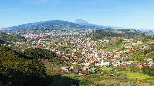
El Rosario features a diverse landscape, ranging from the coastal areas of Tabaiba to the forested highlands of La Esperanza. The municipality includes agricultural plains and mountainous regions, with significant biodiversity, including pine forests and unique flora in the protected areas.
Nature
 espana.net