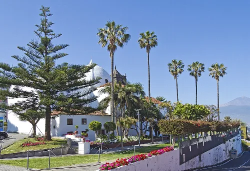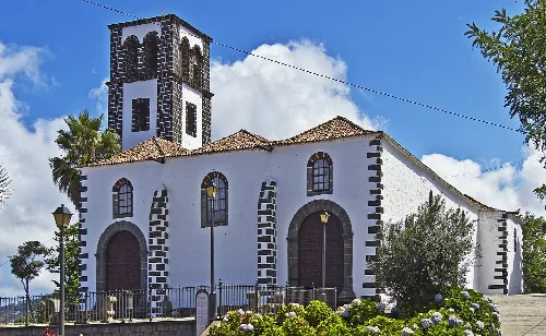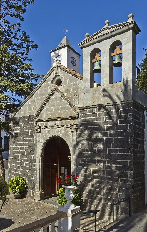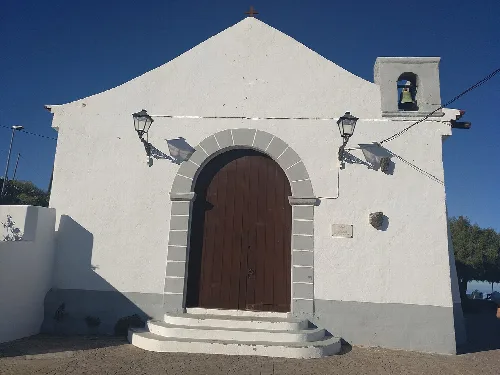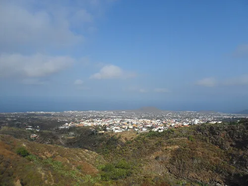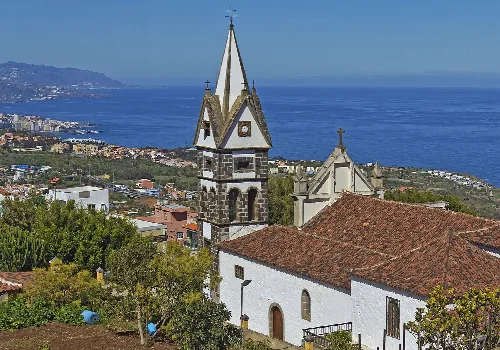
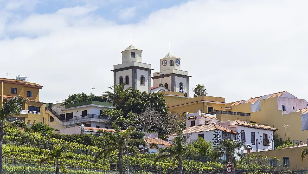
San Salvador church on a hill with colorful houses around. Koppchen, CC BY 3.0

La Matanza de Acentejo

Canary Islands

9,089Population
14.11 km²Area
425 mElevation
38370Postal code

La Matanza de Acentejo is a municipality located in the province of Santa Cruz de Tenerife, Canary Islands. Known for its rich history and agricultural landscape, it features a blend of traditional architecture and natural beauty.

02Geography

La Matanza de Acentejo is situated in the northeastern part of Tenerife, bordered by La Victoria de Acentejo, Candelaria, and El Sauzal. The municipality covers an area of 14.11 km² and features varied elevations, with the highest point reaching 1589 m at Lomo del Jugo.
La Matanza de Acentejo · Data
Province
Santa Cruz de Tenerife
Autonomous community
Canary Islands
Population
9,089
Area
14.11 km²
Elevation
425 m
Postal code
38370
Website
http://www.matanceros.es/
Coordinates
28.4403, -16.4389

Photos

San Salvador parish church in La Matanza de Acentejo with hillside houses.
San Salvador parish church in La Matanza de Acentejo with colorful houses on the hillside.
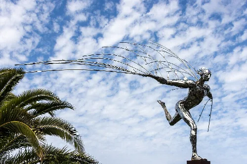
Sculpture of a warrior with a spear, with palm trees and blue sky.
Modern sculpture of a warrior with a spear in La Matanza de Acentejo, with blue sky and clouds in the background.

Map

Nearby

White church with dome and palms in El Sauzal, Tenerife.
El Sauzal
Santa Cruz de Tenerife · 9,345 inhabitants
Landscape with city and green hills in Arafo, Tenerife.
Arafo
Santa Cruz de Tenerife · 5,945 inhabitants

Own text, written with AI assistance from the facts in Wikipedia · La Matanza de Acentejo · Data: Wikidata Q983577 · Photos: Wikimedia Commons, see individual licenses. · CC BY-SA 4.0