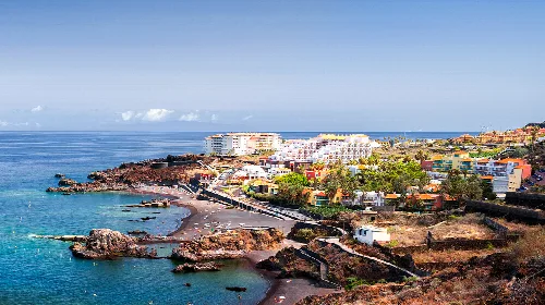
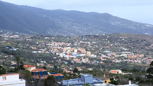
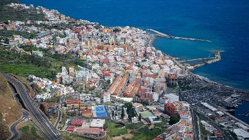
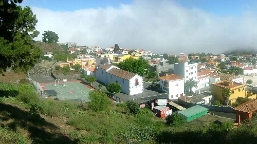
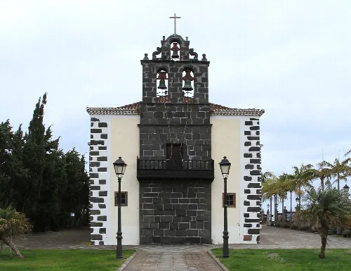
Photograph by Mike Peel (www.mikepeel.net)., CC BY-SA 4.0
Villa de Mazo
Canary Islands
5,131Population
71 km²Area
472 mElevation
38730Postal code
Villa de Mazo is a municipality located in the southeast of La Palma, within the province of Santa Cruz de Tenerife, Canary Islands. Known for its rich agricultural heritage, particularly in viticulture, it features a unique blend of natural landscapes and cultural traditions.
02Geography
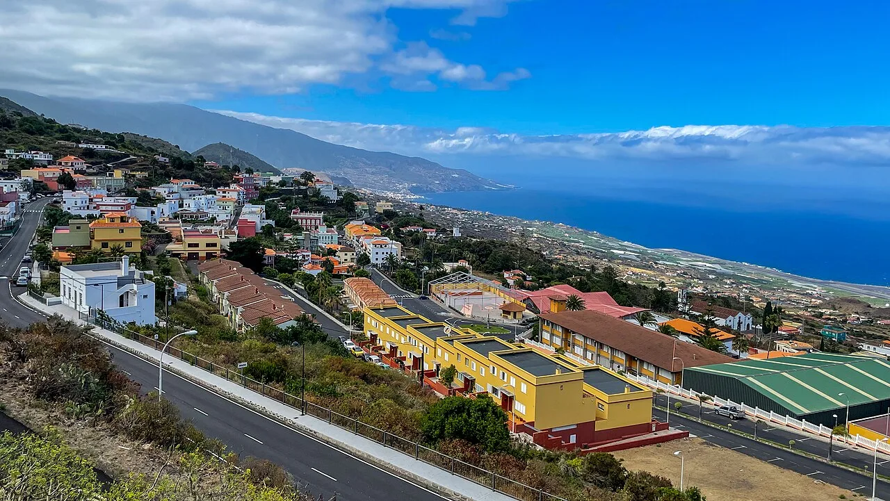
Villa de Mazo is situated on the eastern slope of La Palma, extending from the Cumbre Vieja to the Atlantic Ocean. The municipality encompasses a diverse topography, characterized by steep slopes and volcanic formations, with its capital, El Pueblo, located at an elevation of 500 meters. The area is known for its rich volcanic soil, which supports various agricultural activities.
Distance to coast
0 km
Highest point
Montaña de Nambroque, 1922 m
Number of neighborhoods
15
Coastline type
High cliffs with limited beaches
03History
The history of Villa de Mazo is marked by its indigenous Benahoarita roots, with archaeological sites like the Cueva de Belmaco showcasing early human habitation. The municipality gained the title of villa in 1868 and was officially named Villa de Mazo in 1956 to distinguish it from other locations with similar names.
Pre-Hispanic period Inhabited by the Benahoarita people.
Conquest Resistance against Spanish conquest in the late 15th century.
1868 Granted the title of villa.
1956 Officially named Villa de Mazo.
1994 Approval of the municipal coat of arms.
Villa de Mazo, a municipality in La Palma, is renowned for its viticulture and cultural heritage.
04Economy
Agriculture plays a vital role in the economy of Villa de Mazo, with a focus on traditional practices. The region is particularly known for its vineyards, producing high-quality wines, especially malvasía. The local economy also benefits from artisanal crafts and tourism related to its cultural festivals.
Main agricultural products
Vineyards, fruits, cereals.
Total cultivated area
Approximately 700 hectares.
Percentage of agricultural workers
10% of the local workforce.
Wine production association
SAT Unión de Cosecheros de Vinos Artesanales.
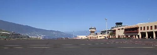
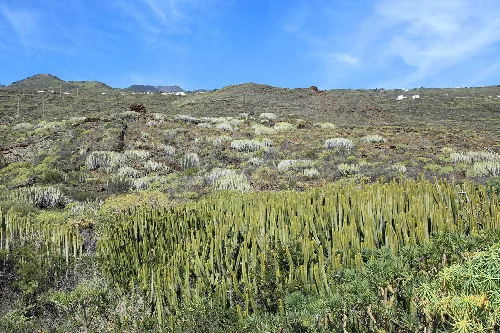
View of La Palma Airport in Villa de Mazo with mountains in the background.Landscape of Villa de Mazo with cacti and vegetation on a mountainous terrain in La Palma.
05Cultural Heritage
Villa de Mazo hosts several cultural festivals that reflect its agricultural traditions. Notable events include the Corpus Christi celebration, characterized by elaborate natural arches and carpets made by local neighborhoods, and the Borrachito Fogatero dance, recognized as a cultural heritage.
Patron saint San Blas.
Major festivals Corpus Christi, Borrachito Fogatero.
Cultural recognition Corpus Christi is a National Tourist Interest festival.
Traditional crafts Vineyard-related artisanal products.
06Natural Environment
The natural environment of Villa de Mazo is characterized by its volcanic landscape, rich biodiversity, and various ecosystems. The area features unique geological formations and a variety of plant species, including laurisilva and pinar, which thrive in the region's diverse climatic conditions.
Protected areas Part of Cumbre Vieja Natural Park.
Biodiversity Home to endemic species of flora and fauna.
Vegetation types Laurisilva, fayal-brezal, and pinar.
Geological features Volcanic cones and malpaís formations.
07Climate
Villa de Mazo experiences a varied climate influenced by its topography and proximity to the Atlantic Ocean. The area benefits from the trade winds, resulting in a microclimate that supports diverse agricultural practices, particularly in the lower elevations.
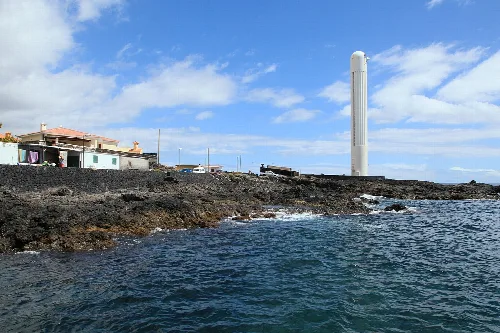
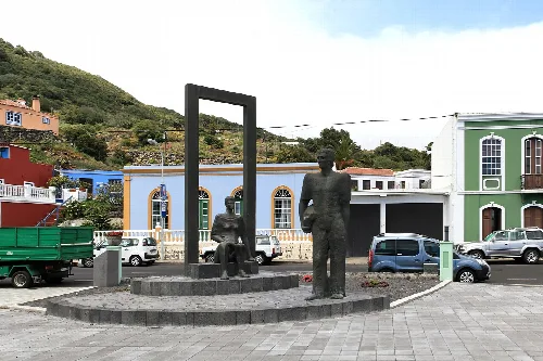
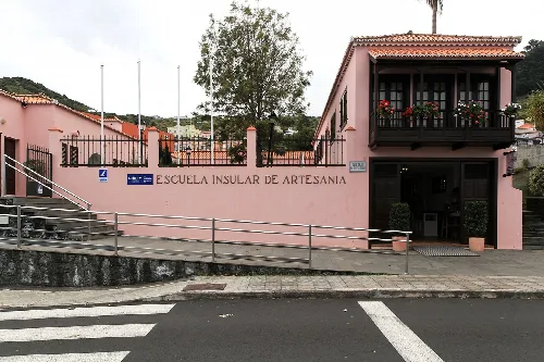
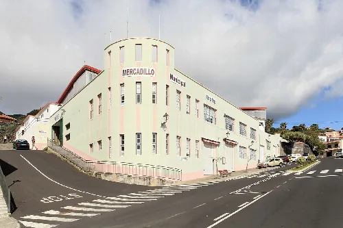
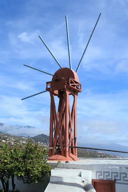
Arenas Blancas Lighthouse at Lugar Playa La Salemera, with houses and volcanic rocks on the coast of Villa de Mazo, La Palma.Sculptures honoring emigrants in Plaza Pintor Gregorio Toledo in Villa de MazoInsular School of Handicrafts in Villa de Mazo, with a pink building and a sign on the facade.Municipal Market of Mazo on Carretera Enlace Doctor Amilcar Morera Bravo in Villa de Mazo, La Palma.Windmill of Mazo in Villa de Mazo, with a blue sky and clouds in the background.
Frequently asked questions
What can you tell me about the Cueva de Belmaco?
The Cueva de Belmaco is significant for housing engravings and remains from the first inhabitants of Villa de Mazo, known as the benahoaritas. This cave served as a dwelling and is linked to the ancient cantón of Tigalate. It provides insight into the early culture and lifestyle of the island's original settlers.
La Palma Airport is the only civil airport on the island and is located in Villa de Mazo. It serves as a key point for arriving and departing from La Palma, connecting the island with mainland Spain and other destinations. The airport's proximity to the capital, El Pueblo, makes it accessible for travelers.
What is the significance of the Corpus Christi festival in Villa de Mazo?
The Corpus Christi festival in Villa de Mazo is a vibrant celebration featuring natural arches and carpets made from local materials, crafted by each neighborhood. This event is recognized as a National Tourist Interest Festival and reflects the community's dedication to their agricultural and artisanal traditions.
Can you tell me about the natural vegetation in Villa de Mazo?
Villa de Mazo boasts a diverse range of vegetation across various altitudes, from coastal halophytic plants to lush pine forests. The area is home to unique ecosystems, including laurisilva and fayal-brezal, which thrive in the humid northern regions, while drier areas feature tabaibal dulce and cardonal.
What are the main agricultural products of Villa de Mazo?
The main agricultural products of Villa de Mazo include wine grapes, particularly the Malvasía variety, which is highly regarded. The region's volcanic soil and favorable climate contribute to the quality of its viticulture, making it a significant part of the local economy and culture.
Villa de Mazo features a varied landscape characterized by steep slopes and volcanic formations. The municipality extends from the Cumbre Vieja mountain range to the Atlantic Ocean, with a mix of agricultural land, natural parks, and rugged coastlines shaped by volcanic activity and erosion.
What is the history behind the name Villa de Mazo?
The name Villa de Mazo has pre-Hispanic origins, possibly linked to various Berber words. It was officially designated as a villa in 1868 and adopted its current name in 1956 to distinguish it from other places with similar names, a change that was approved by the Council of Ministers in 1958.
Villa de Mazo comprises several neighborhoods, with El Pueblo serving as the municipal capital. Other notable neighborhoods include Lodero, Monte Breña, Callejones, La Rosa, and Montes de Luna, each contributing to the municipality's unique character and community life.
What can you tell me about the Faro de Arenas Blancas?
The Faro de Arenas Blancas is a prominent lighthouse located at Lugar Playa La Salemera in Villa de Mazo. It serves as a navigational aid for vessels along the coast and is an iconic landmark, reflecting the maritime history and coastal geography of the area.
Are there any protected natural areas in Villa de Mazo?
Yes, Villa de Mazo includes parts of two protected natural areas: the Parque Natural de Cumbre Vieja and the Monumento Natural Montaña del Azufre. These areas are significant for their volcanic features and biodiversity, contributing to the ecological richness of the region.
 espana.net