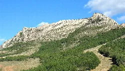
What can you tell me about the geology near Utrillas?
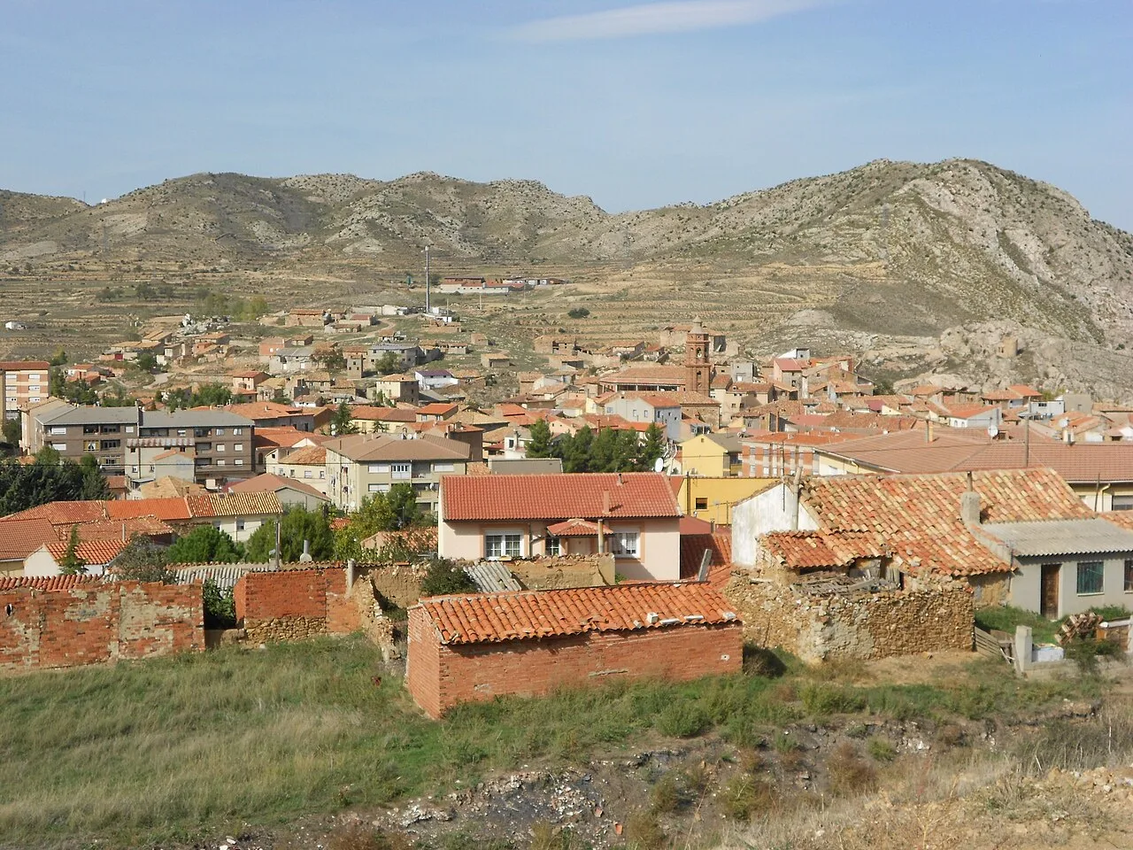
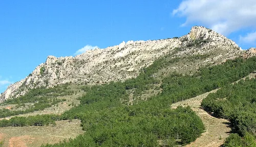
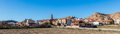
The area around Utrillas features significant geological interest, particularly the 'Utrillas thrust front recumbent anticline.' This site showcases unique geological formations from the Upper Cretaceous period, making it a point of interest for geology enthusiasts. The region is also characterized by colorful sandy outcrops and ancient geological folds, home to wildlife such as Spanish goats and griffon vultures.
Nature
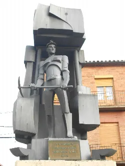
What is the Monumento al Minero in Utrillas?
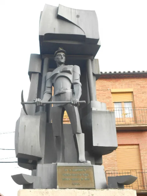
The Monumento al Minero is a notable sculpture located in the town square of Utrillas, created by artist José Gonzalvo Vives. This monument pays tribute to the miners who played a crucial role in the town's history, reflecting the community's deep connection to its mining heritage. It stands as a symbol of pride and remembrance for the local population.
Sights
Monumento al Minero
What is the history of Utrillas during the Reconquista?
During the Reconquista, Utrillas began to be recognized by its current name and was part of the Kingdom of Aragón. It was under the control of the Knights of Santiago from 1161, with the nearby Castle of Montalbán serving as a significant stronghold. The town's historical importance is linked to its mining activities, which date back to the 11th century.
History
How is the climate in Utrillas?
Utrillas experiences an extreme climate due to its elevation of 968 meters above sea level. Summers can reach temperatures up to 36 °C, while winters can drop to as low as -15 °C. The area receives limited annual rainfall, averaging around 550 mm, contributing to its distinct weather patterns.
Nature
For residents
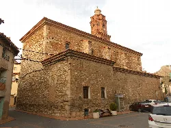
What is the main church in Utrillas like?
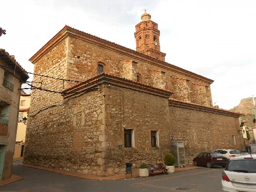
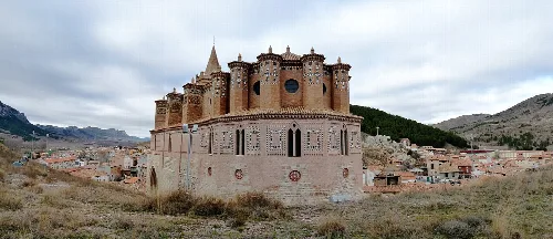
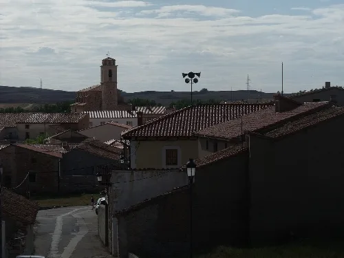
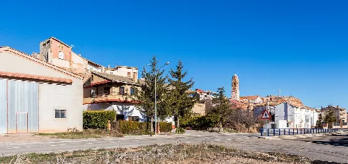
The main church in Utrillas is the Iglesia parroquial de la Natividad de Nuestra Señora, a Baroque-style temple built in the 17th century. It features three naves covered with barrel vaults, with a distinct tower made of masonry and brick. The church underwent significant alterations during the Spanish Civil War, resulting in modern images being placed in the sanctuary.
Sights
Iglesia parroquial de la Natividad de Nuestra Señora
Are there any local festivals in Utrillas?
Utrillas hosts several local festivals, with the most notable being the patronal festival in honor of the Natividad de Nuestra Señora on September 8. Additionally, the festivities for San Juan and Santos Abdón y Senén take place at the end of July, celebrating local traditions and community spirit.
Festivals & events
What was the population trend in Utrillas over the years?
Utrillas has experienced significant demographic changes over the years. In the early 20th century, the population was around 485, growing to 4,573 by 1981 due to mining activities. However, following the decline of the coal industry, the population decreased to 3,069 by 2025, reflecting the economic shifts in the region.
Living there
For residents
What are the main economic activities in Utrillas today?
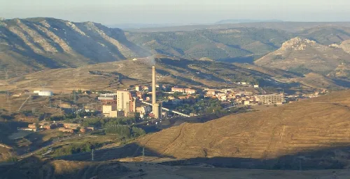
Today, Utrillas' economy is primarily centered around the remnants of its mining heritage, with the former coal mines no longer operational. The town has shifted towards manufacturing, particularly with the establishment of companies like Casting Ros, which produces automotive components, providing employment opportunities for former miners and locals.
Living there
For residents
What is the significance of the 'Las Facies de Utrillas'?
'Las Facies de Utrillas' is a notable natural area characterized by its colorful sandy outcrops, consisting of various shades like white, red, and yellow. This geological formation is significant for its unique visual appeal and ecological importance, making it a point of interest for visitors and nature enthusiasts in the region.
Nature
How did Utrillas contribute to the coal industry in Spain?
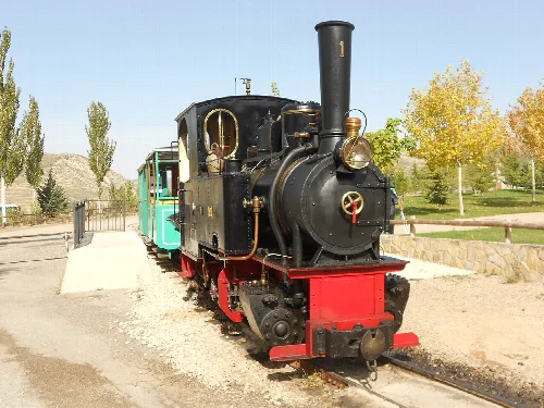
Utrillas was a vital player in Spain's coal industry, particularly during the mid-20th century when coal production peaked. The town was home to significant mining operations, including the company Minas y Ferrocarriles de Utrillas, which facilitated extensive coal extraction. However, the industry faced decline post-1986, leading to the closure of mines and a shift in the local economy.
History
For residents
 espana.net