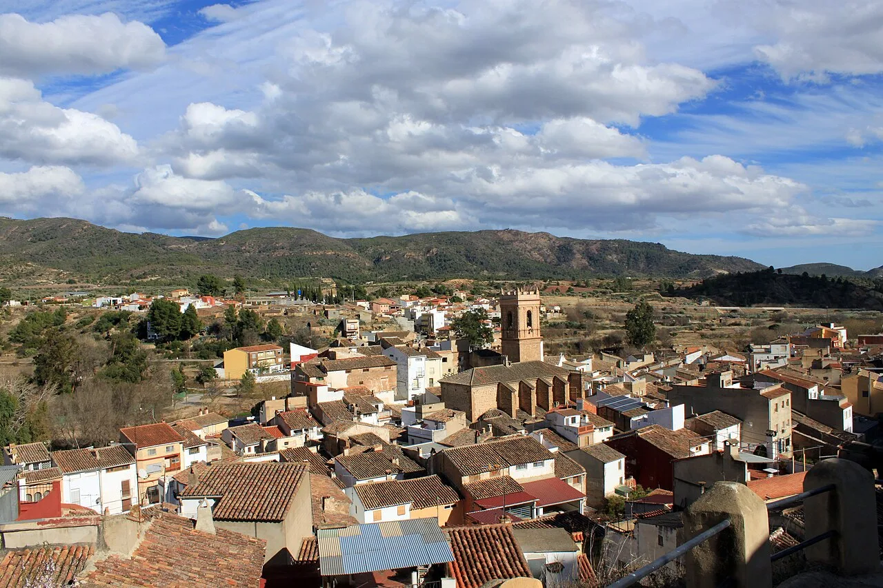
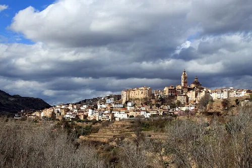
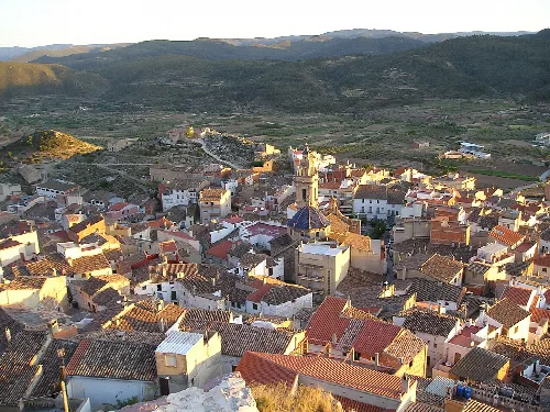
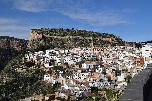
Panoramic view of Calles with houses and mountains in the background. Falconaumanni, CC BY-SA 3.0

Calles

Valencian Community

465Population
64.50 km²Area
351 mElevation
46175Postal code

Calles is a municipality located in the province of Valencia, within the Valencian Community. Known for its mountainous terrain and agricultural heritage, it features a rich history and several local festivals.

02Geography

Calles is situated on a plain along the right bank of the Río Tuéjar, accessible via a viaduct. The village is centered around the parish church dedicated to the Purísima Concepción, with a landscape characterized by mountainous terrain and notable elevations such as Peña Uncel and Escorpión. The area is rich in natural resources, with forests primarily consisting of pines and oaks.

Distance to the coast
7 km
Dominant winds
cierzo and solano
Climate
continental
Main rivers
Tuéjar and Turia
Forested areas
pines and carrascas

03History

The history of Calles includes remnants from the Iberian period and a transition through various political affiliations, including the barony of Jérica and later the Crown. The village gained independence from Chelva in 1602, with significant events marking its evolution, including the establishment of its parish church.

Explore Calles, a picturesque municipality in Valencia known for its agriculture and vibrant local festivals.

04Economy

Historically, agriculture has been the mainstay of Calles' economy, focusing on olive and almond cultivation, alongside some vegetable farming. Recent decades have seen a shift towards construction and services, with rural tourism becoming a significant source of income.

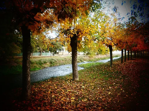
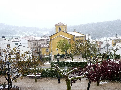
River with autumn trees along streets in Calles, Valencia.
The Tuéjar River flows through streets lined with autumn trees in Calles, Valencia.
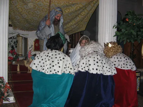
Figures of the Three Wise Men and characters in a Christmas scene in Calles, Valencia.
Representation of the Three Wise Men in Calles, Valencia, with figures dressed in royal robes and a decorated scene.

05Local Festivals

Calles hosts several local festivals throughout the year, celebrating traditions and community spirit. Key events include the Cabalgata de Reyes, Fiesta de San Antón, and the Fiesta de Santa Quiteria, each featuring unique activities and cultural significance.

Calles · Data
Province
Valencia
Autonomous community
Valencian Community
Population
465
Area
64.50 km²
Elevation
351 m
Postal code
46175
Website
http://www.calles.es/
Coordinates
39.7256, -0.9738

Photos

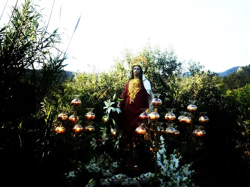
Statue of Santa Quiteria during a procession in Calles surrounded by greenery.
Procession of Santa Quiteria, patroness of Calles, in May 2011 with a statue in a natural setting.
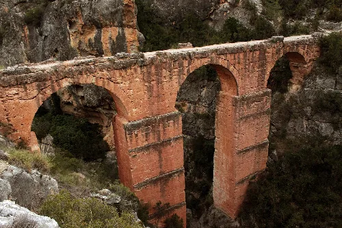
Peña Cortada aqueduct with three arches in a mountainous setting.
Roman aqueduct of Peña Cortada with three arches in Calles, Valencia.
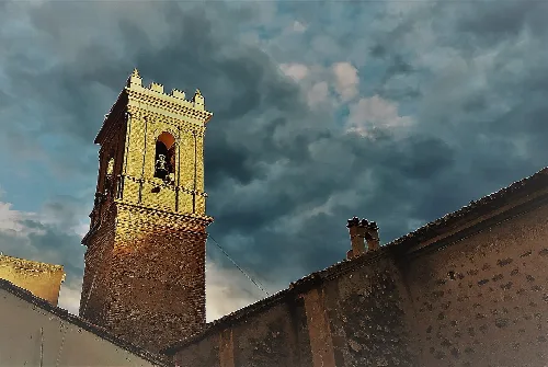
Bell tower of the church and rooftops of houses under a cloudy sky.
Side view of the church in the town of Calles with a cloudy sky in the background.
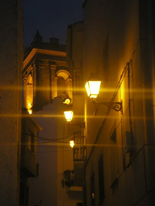
Narrow streets with lit street lamps in Barrio de la Petrosa, Valencia.
Streets in Barrio de la Petrosa, Valencia, lit by street lamps at night.

Frequently asked questions

What can you tell me about the main church in Calles?

The main church in Calles is dedicated to the Purísima Concepción and was built in the late 17th century. It features a simple facade and a two-tiered bell tower made of masonry and brick. The church is centrally located, around which the village is structured, and it has undergone several restorations to preserve its structure and appearance.

History Iglesia parroquial

What is the significance of the Ermita de Santa Quiteria?

The Ermita de Santa Quiteria is the patron saint's chapel of Calles, located near the village. It features a welcoming porch and a single nave with a barrel vault. The chapel houses a baroque altar with the statue of Santa Quiteria. The original structure was rebuilt in 1979 due to structural issues, showcasing the community's dedication to their patron saint.

Sights Ermita de Santa Quiteria

How do I get to Calles from Valencia?

You can reach Calles from Valencia via the CV-35 provincial road, which runs parallel to the Turia River. This route provides access to the village and offers scenic views of the surrounding landscape, making the journey enjoyable.

Getting there

What are the main agricultural products in Calles?

Agriculture has traditionally been the mainstay of Calles' economy, with residents primarily cultivating olives and almonds. Other crops include cereals, vegetables, and fruits like apples and plums, benefiting from irrigation sourced from the nearby Tuéjar River.

Food & drink For residents
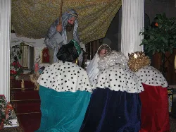
Figures of the Three Wise Men and characters in a Christmas scene in Calles, Valencia.

What is the Cabalgata de Reyes?

The Cabalgata de Reyes is a festive event held on January 5th, celebrating the Three Kings. The parade features the distribution of sweets and toys to children, and often includes a short theatrical performance related to the nativity story, enhancing the festive atmosphere in Calles.

Festivals & events
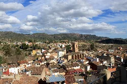
Panoramic view of Calles with houses and mountains in the background.

What is the landscape like around Calles?

Calles is situated in a mountainous area characterized by rugged terrain and scenic views. The village lies on the right bank of the Tuéjar River, surrounded by notable peaks such as Peña Uncel and Escorpión, making it a picturesque location for nature enthusiasts.

Nature

Are there any local festivals in Calles?

Calles hosts several local festivals, including the Fiesta de Santa Quiteria in May, which features processions and evening dances. Other celebrations include the Fiesta de San Antón in January and summer festivities in August, marked by various cultural activities and communal meals.

Festivals & events For residents

What is the history of Calles during the Iberian period?

Calles has remnants from the Iberian period, particularly at sites like the Fuente de Madrid and the Prado de Llantas. These archaeological findings indicate that the area was inhabited and significant during ancient times, showcasing its historical depth.

History For residents

What are the main recreational areas in Calles?

In Calles, the Fuente la Losa area offers recreational facilities, including dining areas and barbecues, ideal for gatherings. Additionally, the Puente Alta region, located southwest of the village, provides scenic spots for outdoor activities and exploration.

Nature For residents

What is the Acueducto romano de Peña Cortada?

The Acueducto romano de Peña Cortada is a Roman aqueduct dating back to the 2nd century. It features three arches built on stepped pillars, standing 33 meters high, and is considered one of the most remarkable structures in the Valencia region, highlighting the area's historical significance.

Sights Acueducto romano de Peña Cortada

Map

Nearby

Panoramic view of Chelva with buildings and a church on the hill.
Chelva
Valencia · 1,863 inhabitants
Aerial view of a town with narrow streets, red roofs, and mountains in the background.
Tuéjar
Valencia · 1,278 inhabitants

Own text, written with AI assistance from the facts in Wikipedia · Calles · Data: Wikidata Q1919313 · Photos: Wikimedia Commons, see individual licenses. · CC BY-SA 4.0