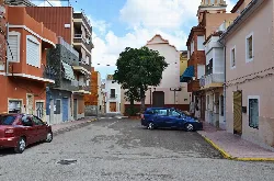
What can you tell me about the Plaça de la Vera Creu in Favara?
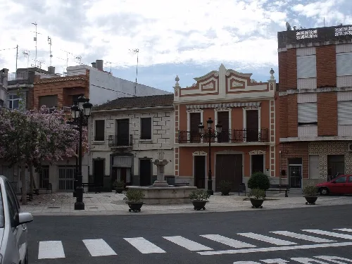
The Plaça de la Vera Creu, established in 1950, features a unique ornamental fountain made of stone and marble. It consists of a circular basin topped by a square body adorned with fantastic motifs, culminating in a balustrade column with a lantern. The design harmoniously combines geometric elements, creating a visually appealing centerpiece in the plaza.
Sights
Plaça de la Vera Creu
How did Favara get its name?
The name Favara is believed to derive from the Arabic word 'fawwara', meaning 'the fountain' or 'the fang', due to the many underground water sources in the area. Some suggest it may also relate to the Hawwara Berber tribes that inhabited the region in the 8th century. Historical documents about Favara emerged after the conquest of Valencia by Jaime I.
History
What are the main agricultural products of Favara?
Favara's economy is primarily based on agriculture, with key crops including oranges, vegetables, and rice. These irrigated crops have historically been the backbone of the local economy, contributing to the town's growth and stability over the years.
Food & drink
For residents
What is the history of the church in Favara?
The parish church in Favara, dedicated to San Antonio Abad, was constructed in 1760. Funded by Miquel Escrivá and Faus, it underwent renovations in the 1730s and 1740s, adopting a Renaissance style. The church remains a significant historical and cultural landmark in the town.
History
What festivals are celebrated in Favara?
Favara hosts several festivals, with the patronal festivities occurring from August 8 to 14. Notable events include the San Cristóbal festival for truck drivers, San Lorenzo, and the Vera Cruz festival, which is the town's main celebration on August 14. Other celebrations include San Francisco and San Antonio throughout the year.
Festivals & events
Is there any nature to explore around Favara?
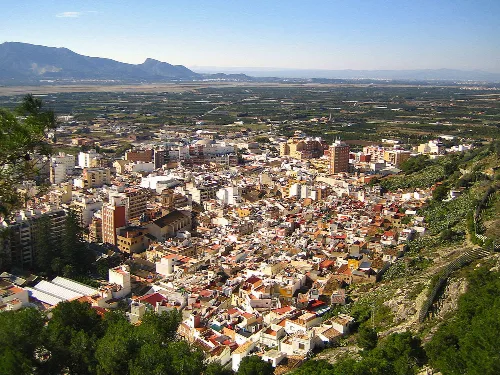
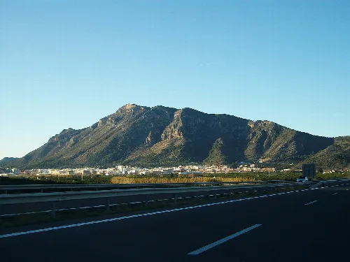
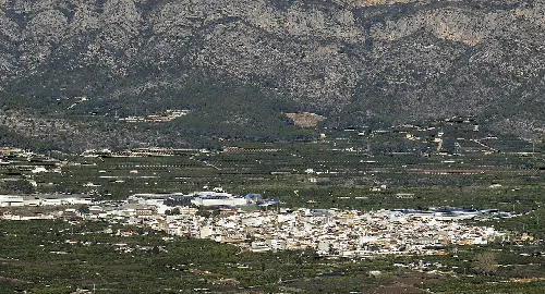
Yes, Favara is surrounded by diverse geography, including mountainous areas to the west, part of the Sierra de Corbera, and flat plains to the north, part of the Júcar delta. These areas feature Mediterranean vegetation and provide opportunities for outdoor activities and exploration.
Nature
What is the Cueva de la Galera?
The Cueva de la Galera is an archaeological site located in the Sierra del Cavall Bernat, known for its challenging access. It contains materials from the Bronze Age and Iberian period, including flint fragments and handmade pottery, which are currently housed in the Museo Municipal de Alcira.
Sights
Cueva de la Galera
How has Favara's population changed over the years?
Favara's population has fluctuated significantly. It was repopulated in 1611 after the expulsion of the Moriscos, and by 1860, it had 447 residents. The population grew steadily through the 20th century, reaching 1,679 in 1960, but has stabilized around 2,776 in recent years due to various social and economic factors.
Living there
For residents
What is the significance of the Ermita de San Lorenzo?
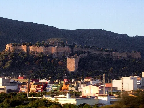
The Ermita de San Lorenzo is a small, rectangular chapel located on a hill, characterized by its simple stone and masonry construction. It features a two-pitched roof and a modest facade, reflecting the austere architectural style typical of the region's religious structures.
Sights
Ermita de San Lorenzo
What is the Plaza del Caballo known for?
The Plaza del Caballo is notable for its unique fountain, which features a circular base adorned with four winged horses and lion heads. This decorative fountain serves as a striking visual element in the plaza, showcasing intricate craftsmanship and artistic design.
Sights
Plaza del Caballo
 espana.net