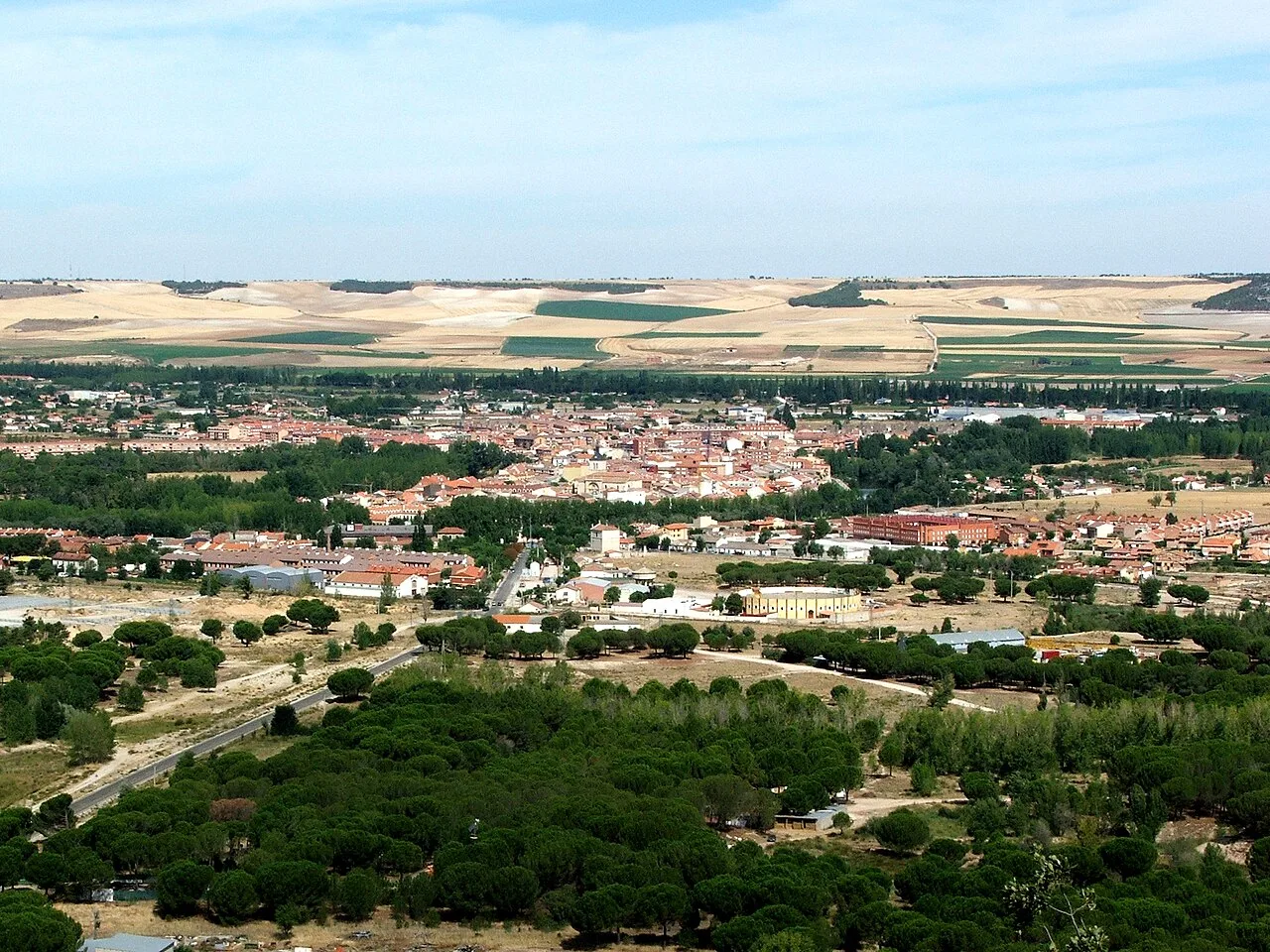
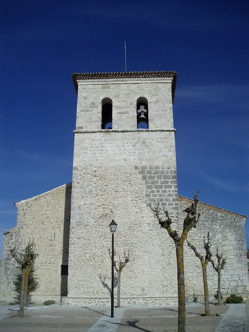
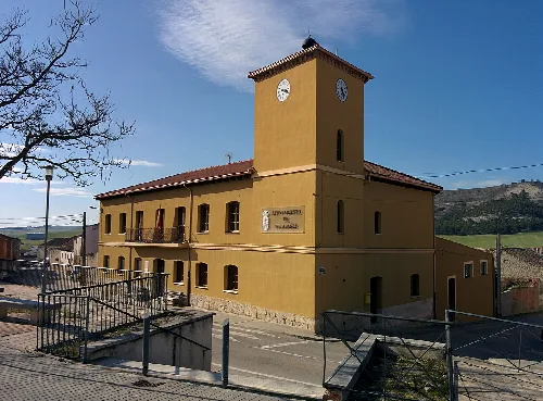
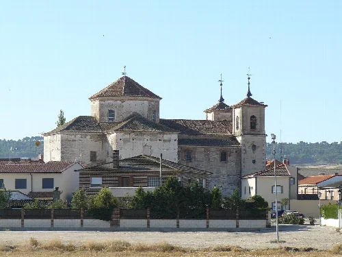
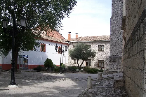
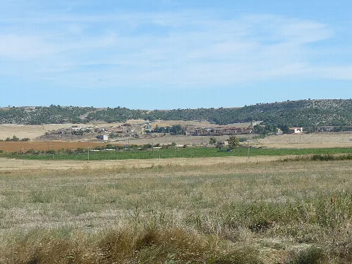
Panoramic view of Tudela de Duero with buildings and farmland. Nac, CC BY-SA 3.0

Tudela de Duero

Castile and León

8,861Population
6 km²Area
7 mElevation
47320Postal code

Tudela de Duero is a municipality located in the province of Valladolid, within the autonomous community of Castile and León. Known for its lush vegetation, it is often referred to as "the joyful tear of the Duero" or "the oasis of Castile." The town is situated on a meander of the Duero River, providing a picturesque landscape and a rich historical backdrop.

02Geography

Tudela de Duero is part of the Tierra de Pinares comarca, located approximately 16 km southeast of Valladolid. The municipality is traversed by the N-122 national road and the A-11 motorway, facilitating access to nearby areas. The terrain features the fertile banks of the Duero River, with elevations ranging from 690 m to 863 m, and is characterized by its natural defenses provided by the river's meander.

Distance to Valladolid
16 km
Elevation range
690 m to 863 m
Climate type
Mediterranean cool (Csb)

03History

The area of Tudela de Duero has been inhabited since the Neolithic period, with archaeological evidence of settlements and artifacts from various historical periods. The town's name is believed to derive from a Roman mansion called Tela. Significant historical sites include the remains of the castle Ibn Mamls and the Priorato de Duero, which has roots dating back to the 10th century.

Tudela de Duero, a municipality in Valladolid, is known for its lush landscapes and rich history along the Duero River.

04Economy

Agriculture serves as the primary economic driver in Tudela de Duero, particularly the cultivation of asparagus and vineyards. The region is known for its quality wines, despite not being part of the Ribera del Duero Denomination of Origin. Livestock farming, especially pig and sheep farming, also plays a significant role in the local economy.

Main agricultural products
Asparagus and wine
Livestock types
Porcine and ovine
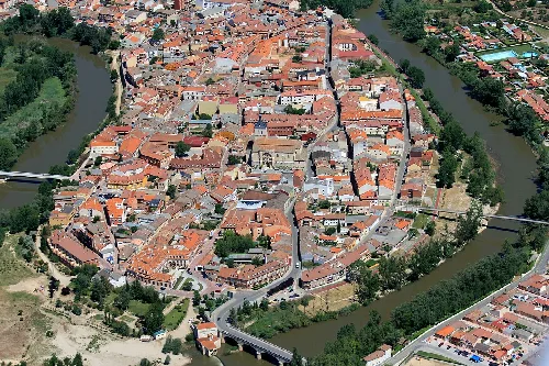
Aerial view of Tudela de Duero with narrow streets and historic buildings.
Aerial view of Tudela de Duero, located on a meander of the Duero River with narrow streets and historic buildings.
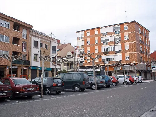
Apartment building and pruned trees in Tudela de Duero
Apartment building in Tudela de Duero with pruned trees on the sidewalk

05Festivals and Culture

Tudela de Duero hosts a variety of vibrant festivals throughout the year, reflecting its cultural heritage. Notable celebrations include the Fiesta de Exaltación del Espárrago, which honors local asparagus, and the Fiestas de Nuestra Señora de la Asunción, featuring traditional bull runs and community activities.

Tudela de Duero · Data
Province
Valladolid
Autonomous community
Castile and León
Population
8,861
Area
6 km²
Elevation
7 m
Postal code
47320
Coordinates
41.5847, -4.5803

Photos

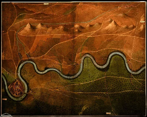
Topographic map with river and hills near Tudela de Duero and Villabáñez.
Topographic map of Tudela de Duero and Villabáñez in Valladolid, showing the river and surrounding terrain.
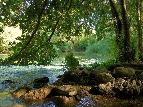
Riverbank with trees and rocks in Tudela de Duero.
Natural riverside area in Tudela de Duero with trees and rocks by the water.
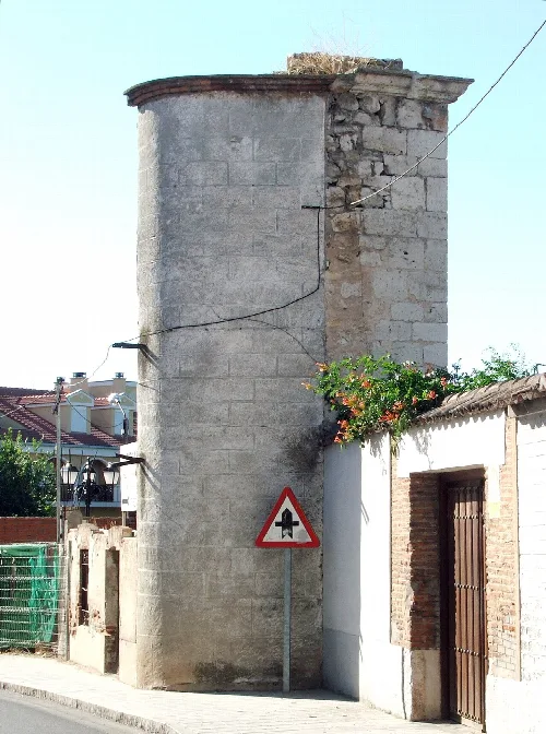
Remains of Tudela de Duero gate with stone tower and traffic sign.
The remains of the old Tudela de Duero gate, featuring a stone tower and a traffic sign.
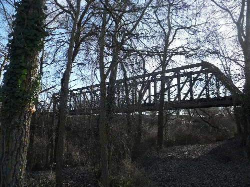
Iron bridge in Tudela de Duero with trees and a path underneath.
Iron Bridge in Tudela de Duero, a metal structure bridge in a natural setting.
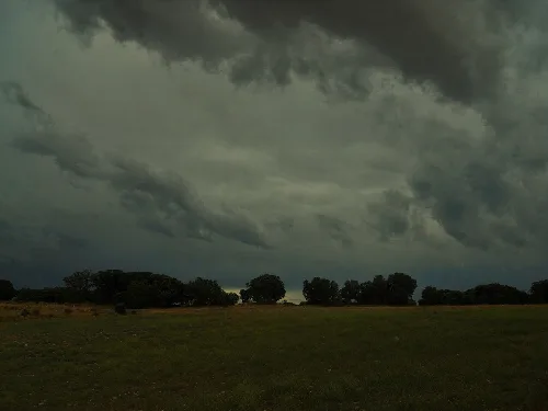
Landscape with trees and cloudy sky in Tudela de Duero.
View of Monte de Tovilla with dark clouds in the sky in Tudela de Duero.

Frequently asked questions

What is the history behind the name Tudela de Duero?

The name Tudela is believed to derive from a Roman mansion called Tela. During the Middle Ages, Christians guarded the walls of Tudela, remaining vigilant against potential Arab attacks, which led to the evolution of the name to Tudela. The town has a rich history, with evidence of settlements dating back to the Neolithic period.

History

What are the main agricultural products of Tudela de Duero?

The economy of Tudela de Duero is primarily driven by agriculture, particularly known for its asparagus and vineyards. The region has a strong winemaking tradition, with several notable wineries that, while not part of the Ribera del Duero Denomination of Origin, are recognized for their quality.

Food & drink For residents
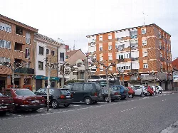
Apartment building and pruned trees in Tudela de Duero

What is the significance of the Virgen de la Guía in Tudela de Duero?

The Virgen de la Guía is a Gothic Virgin from the 15th century, notable for its historical and cultural importance in Tudela de Duero. It was originally situated above the access arch in the town's wall, symbolizing the town's heritage and identity.

Sights Virgen de la Guía

What can you tell me about the Fiesta de Exaltación del Espárrago?

The Fiesta de Exaltación del Espárrago, held on the last weekend of May or the first weekend of June, celebrates the region's famous asparagus. Visitors can enjoy various asparagus dishes and explore a craft fair, making it a vibrant event for locals and tourists alike.

Festivals & events

What are the main historical sites in Tudela de Duero?

Tudela de Duero boasts several historical sites, including the Church of Nuestra Señora de la Asunción, the Priorato de Santa María de Duero, and remnants of medieval walls. These sites reflect the town's rich architectural and cultural heritage, attracting history enthusiasts.

Sights

How is the climate in Tudela de Duero?

Tudela de Duero experiences a Mediterranean climate, classified as Csb, which is characterized by mild summers and cool winters. This climate contributes to the region's agricultural productivity, particularly for crops like asparagus and grapes.

Nature For residents

What is the significance of the encierros in Tudela de Duero?

Tudela de Duero is known for having one of the oldest encierros (bull runs) in Spain, with documented evidence dating back to the 16th century. This tradition is an integral part of the local culture, celebrated during various festivals throughout the year.

Festivals & events
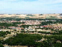
Panoramic view of Tudela de Duero with buildings and farmland.

What does the landscape around Tudela de Duero look like?

The landscape of Tudela de Duero is defined by its fertile riverbanks along the Duero River, surrounded by rolling hills and agricultural fields. The town is situated on a natural meander, providing picturesque views and a scenic environment for visitors.

Nature

What are the main transportation routes to Tudela de Duero?

Tudela de Duero is well-connected by several major roads, including the N-122 national road and the A-11 motorway. These routes facilitate easy access to Valladolid and neighboring areas, making it convenient for both residents and visitors to travel.

Getting there For residents

What is the role of local associations in Tudela de Duero?

Local associations in Tudela de Duero play a crucial role in promoting cultural activities, preserving history, and fostering community engagement. Groups like the Orquesta de Pulso y Púa and the Asociación Histórico-Arqueológica organize events and initiatives that enrich the town's cultural landscape.

Living there For residents

Map

Nearby

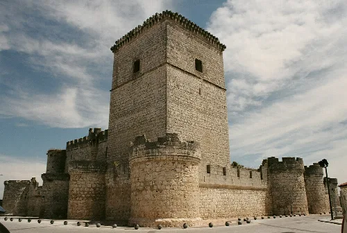
Stone castle towers and walls.
Portillo
Valladolid · 2,377 inhabitants

Own text, written with AI assistance from the facts in Wikipedia · Tudela de Duero · Data: Wikidata Q1651692 · Photos: Wikimedia Commons, see individual licenses. · CC BY-SA 4.0