espana.net
 Asier Sarasua Garmendia, Assar, CC BY-SA 3.0
Basque Country
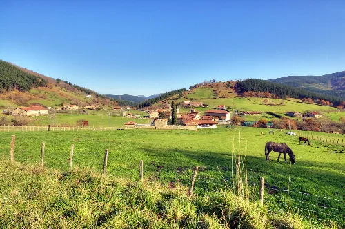
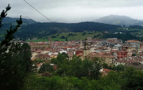
Izurza is a municipality in Biscay, Basque Country, characterized by its picturesque setting between limestone mountains and the Mañaria River. With a small population, it features a mix of urban and rural areas, reflecting its agricultural roots and industrial development.
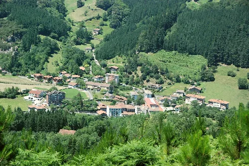
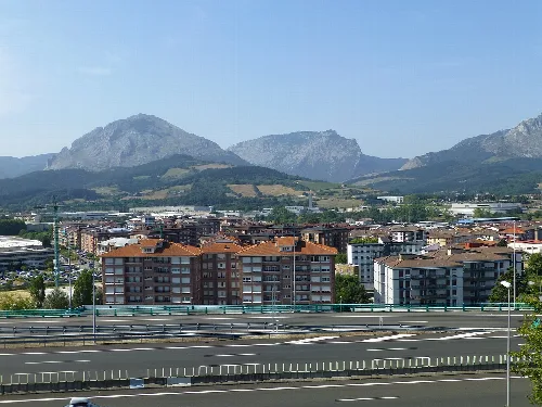
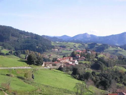
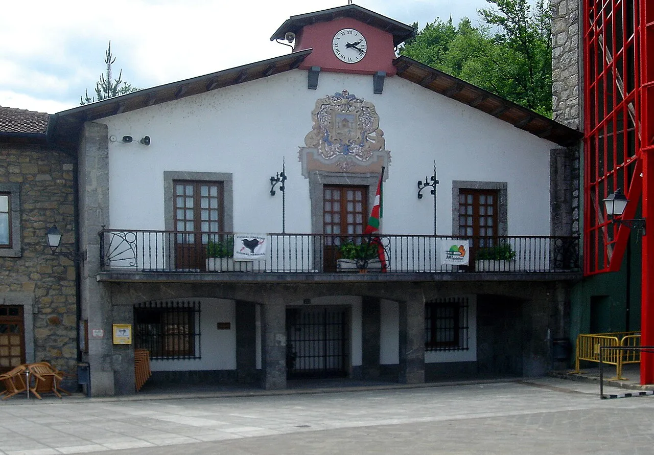
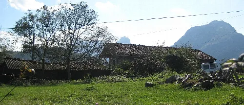
Nestled between the imposing limestone formations of Mugarra and Untzillaitz, Izurza lies along the banks of the Mañaria River. The municipality is bordered by Durango to the north, Mañaria to the south, and Abadiano to the east. Its urban area, Elizalde, is situated along the provincial road BI-623, with several rural neighborhoods like Etxano, Ortuzar, and Bitaño spread across the surrounding hills.
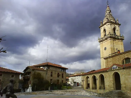
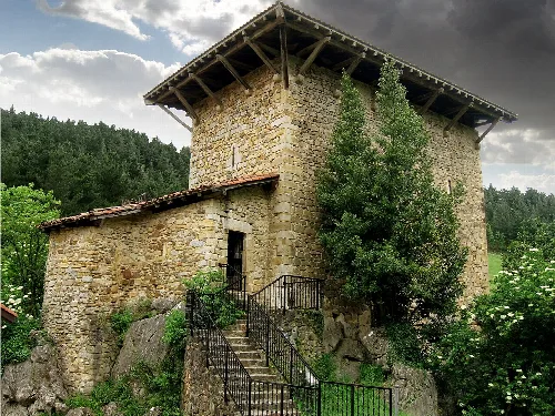
The origins of Izurza are intertwined with the history of the region, with legends suggesting that the Etxaburu tower house was built by the Roman Emperor Antoninus Pius. This tower, significant in local lore, was destroyed and rebuilt several times, with the current church dedicated to San Nicolás Obispo constructed in the 16th century. The municipality has maintained a stable population over time, influenced by both emigration and immigration.
Izurza is a small municipality in Biscay, Basque Country, known for its scenic landscapes and rich history.
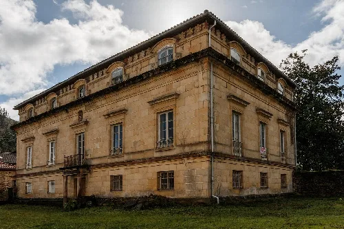
Izurza is home to notable heritage sites, including the Etxaburu tower and several hermitages. The local economy has historically relied on agriculture and livestock, though industrial development has shifted the focus towards manufacturing. The proximity to Durango has influenced the availability of services, which remain limited within Izurza itself.
Own text, written with AI assistance from the facts in Wikipedia · Izurtza · Data: Wikidata Q682513 · Photos: Wikimedia Commons, see individual licenses. · CC BY-SA 4.0