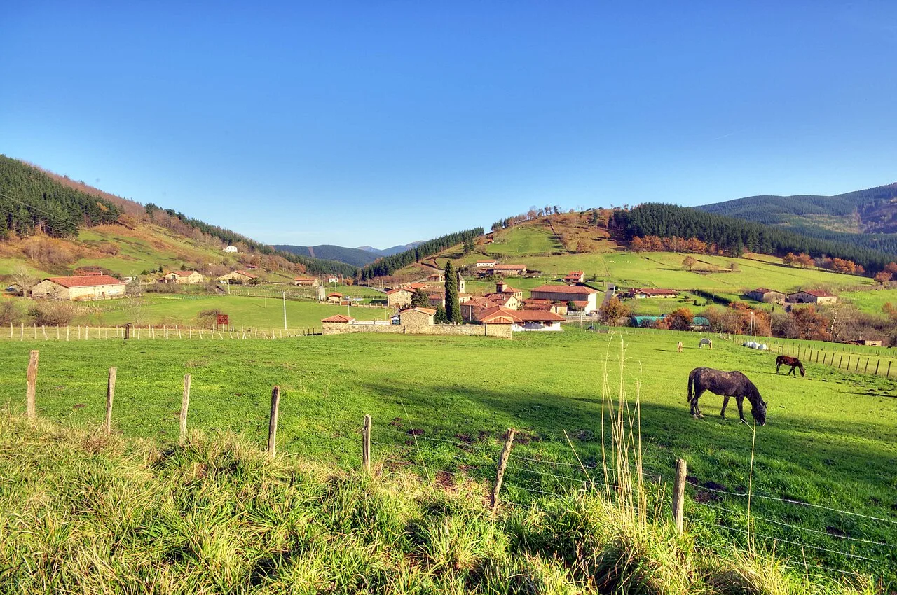
Green meadows with horses and hills in the background in Axpe, Atxondo. Marisol Murua, CC BY-SA 3.0

Atxondo

Basque Country

1,342Population
23.41 km²Area
17 mElevation
48291Postal code
1962Founded

Atxondo, also known as Valle de Achondo, is a municipality in Biscay, Basque Country. Characterized by its rich history and stunning natural landscapes, it encompasses the former anteiglesias of Apatamonasterio, Arrazola, and Axpe, which merged in 1962.

02Geography

Atxondo is located in the southeastern part of Biscay, bordering Álava. The municipality features a diverse topography, from the banks of the Ibaizábal River to the peaks of the Amboto mountain range, which rise dramatically over 600 meters. The area is characterized by steep limestone cliffs and a mix of industrial and rural settlements.

Major rivers
Ibaizábal, Azunza
Nearby municipalities
Abadiano, Elorrio, Aramayona (Álava)

03History

The municipality of Atxondo was formed in 1962 from the merger of three historical anteiglesias: Apatamonasterio, Arrazola, and Axpe. Each of these areas has its own distinct history, with roots tracing back to the early settlements in the region.

Atxondo, a municipality in Biscay, Basque Country, is known for its rich history and beautiful landscapes.

04Economy

The economy of Atxondo is primarily based on agriculture and livestock, with a focus on cattle for meat and dairy production. While mining played a significant role historically, it has diminished since the mid-20th century. The industrial sector has grown, particularly in Apatamonasterio, where several factories are located.

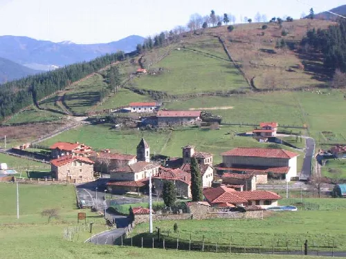
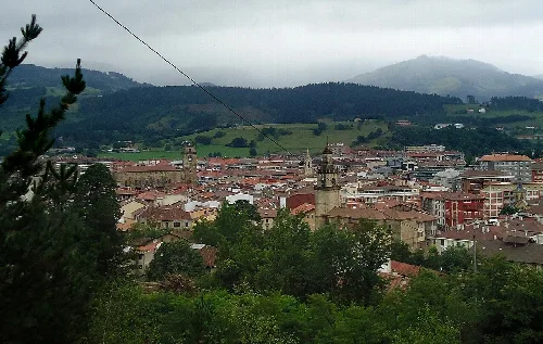
View of houses, church, and hills in Axpe, Achondo, Vizcaya.
View of Axpe neighborhood in Achondo, with houses, church, and green hills in Vizcaya, Basque Country.
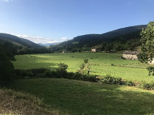
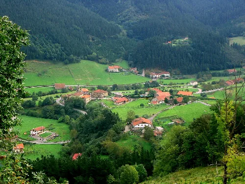
Green meadows and houses in a valley surrounded by mountains in Atxondo.
View of the Arratzola valley in Atxondo, with green meadows and scattered houses in a mountainous landscape.

05Cultural Heritage

Atxondo boasts a rich cultural heritage, reflected in its historic churches and traditional Basque architecture. The municipality is home to several notable buildings, including the churches of San Pedro, San Miguel, and San Juan Bautista, each showcasing unique architectural styles.

Atxondo · Data
Province
Biscay
Autonomous community
Basque Country
Population
1,342
Area
23.41 km²
Elevation
17 m
Postal code
48291
Founded
1962
Website
http://www.atxondo.net/
Coordinates
43.1300, -2.5836

Photos

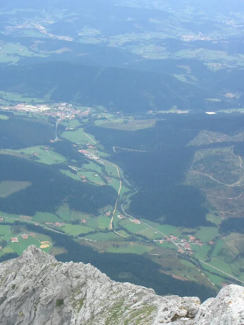
Aerial view of valley with villages and rural areas in Vizcaya.
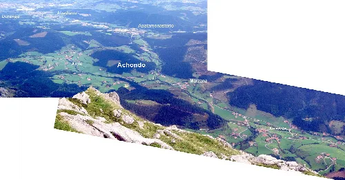
Aerial view of Valle de Achondo in Vizcaya, showing the hamlets and the towns of Durango and Abadiño.
Aerial view of valley with roads and houses in Vizcaya.
Panoramic view of Valle de Achondo and Marzana neighborhood in Vizcaya from a mountain.
Landscape with houses and green fields in Valle de Achondo, Vizcaya.
View of the parish of Arrazola in Atxondo, surrounded by green fields and forests in Vizcaya, Basque Country.
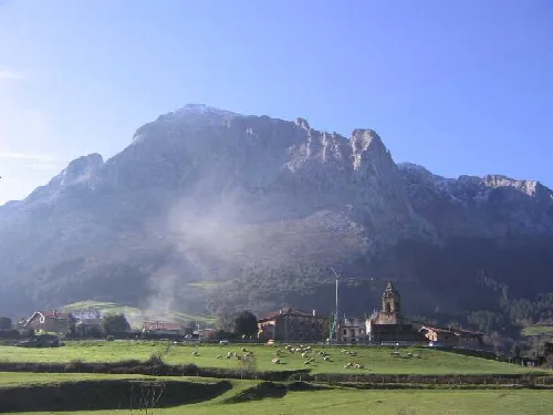
Landscape with mountains, sheep on pasture, and a small village with a church.
Panoramic view of Arrazola neighborhood in Valle de Achondo, with mountains in the background and sheep in the foreground.

Frequently asked questions

What is the history behind the name Atxondo?

The name Atxondo derives from the Basque words (h)A(i)tz, meaning 'rock' or 'cliff', and ondo, meaning 'next to'. Thus, Atxondo translates to 'next to the rock'. The area also includes the neighborhood of Axpe, which means 'under the rock'.

History

What are the main agricultural products in Atxondo?

In Atxondo, agriculture and livestock farming are key to the local economy. The region primarily produces beef and dairy, along with some sheep and goat farming. Due to the challenging terrain, large-scale agriculture is limited, focusing instead on small-scale production for local markets.

Food & drink For residents
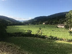
Green meadows and houses in a valley surrounded by mountains in Atxondo.

What can I see in the valley of Arratzola?

The valley of Arratzola in Atxondo features stunning landscapes surrounded by high mountains. It's a great spot for hiking and enjoying nature. The area is known for its rich biodiversity and offers picturesque views, making it a perfect destination for outdoor enthusiasts.

Nature valley of Arratzola

What is the significance of the church of San Miguel in Arrazola?

The church of San Miguel, located in Arrazola, is notable for its Gothic-Renaissance style, built in 1510. Its altar features a Baroque design and a sculptural ensemble of the apostles. It also holds historical importance as the site of the first complete mass in Basque in 1959.

Sights church of San Miguel

What are the local festivals in Atxondo?

Atxondo celebrates various local festivals in honor of its patron saints. In Axpe, the festival of San Juan is held on June 24; in Apatamonasterio, San Pedro is celebrated on June 29; Arrazola honors Andra Mari on August 15; and Marzana celebrates San Martín on November 11.

Festivals & events For residents

What is the main mode of transport in Atxondo?

The primary mode of transport in Atxondo is via the BI-634 road, which connects the municipality to Durango and Mondragón. Local roads also link the neighborhoods of Axpe and Arrazola. Historically, a mining railway operated in the area, but it has since been closed.

Practical For residents

What can you tell me about the church of San Juan Bautista in Axpe?

The church of San Juan Bautista in Axpe features a distinctive Isabeline style with a decadent ogival portal. This church is significant for its architectural style and local heritage, reflecting the historical influences in the region.

Sights church of San Juan Bautista
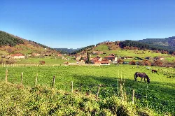
Green meadows with horses and hills in the background in Axpe, Atxondo.

What is the landscape like in Atxondo?

Atxondo is characterized by its rugged terrain and beautiful landscapes, featuring steep limestone cliffs and rolling hills. The area is rich in natural beauty, making it ideal for outdoor activities like hiking and nature exploration.

Nature

What historical events shaped Atxondo?

Atxondo was formed in 1962 from the merger of three ancient municipalities: Apatamonasterio, Arrazola, and Axpe. Each of these areas has its own unique history, including involvement in the historical conflicts known as the Guerra de Bandos, where they sided with the oñacinos.

History For residents

How has mining influenced Atxondo's economy?

Historically, mining played a significant role in Atxondo's economy, with operations for copper, lead, and iron. Although mining ceased in the mid-20th century, its legacy is evident in the region's infrastructure, such as the former mining railway that connected various areas.

Living there For residents

Map

Nearby

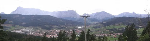
Landscape with mountains and vegetation in Elorrio, Vizcaya.
Elorrio
Biscay · 7,277 inhabitants
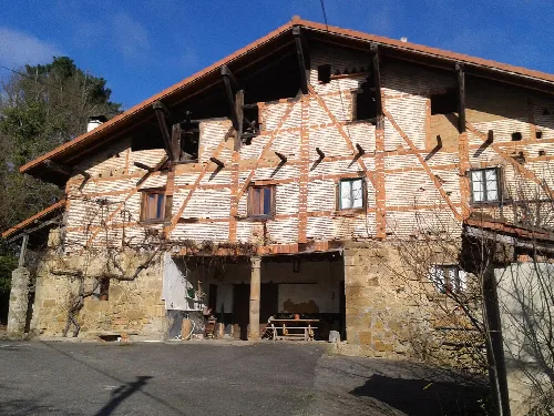
Wood and brick farmhouse in Bérriz, Vizcaya.
Berriz
Biscay · 4,533 inhabitants
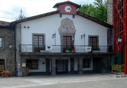
White building with clock and coat of arms, balcony and windows.
Izurtza
Biscay · 224 inhabitants
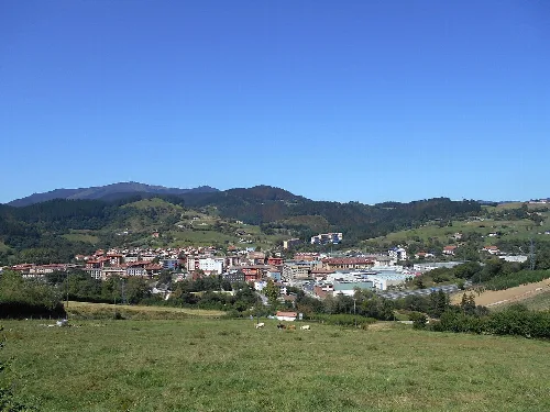
View of Durango with churches and mountains in the background.
Durango
Biscay · 30,192 inhabitants

Own text, written with AI assistance from the facts in Wikipedia · Atxondo · Data: Wikidata Q1242393 · Photos: Wikimedia Commons, see individual licenses. · CC BY-SA 4.0