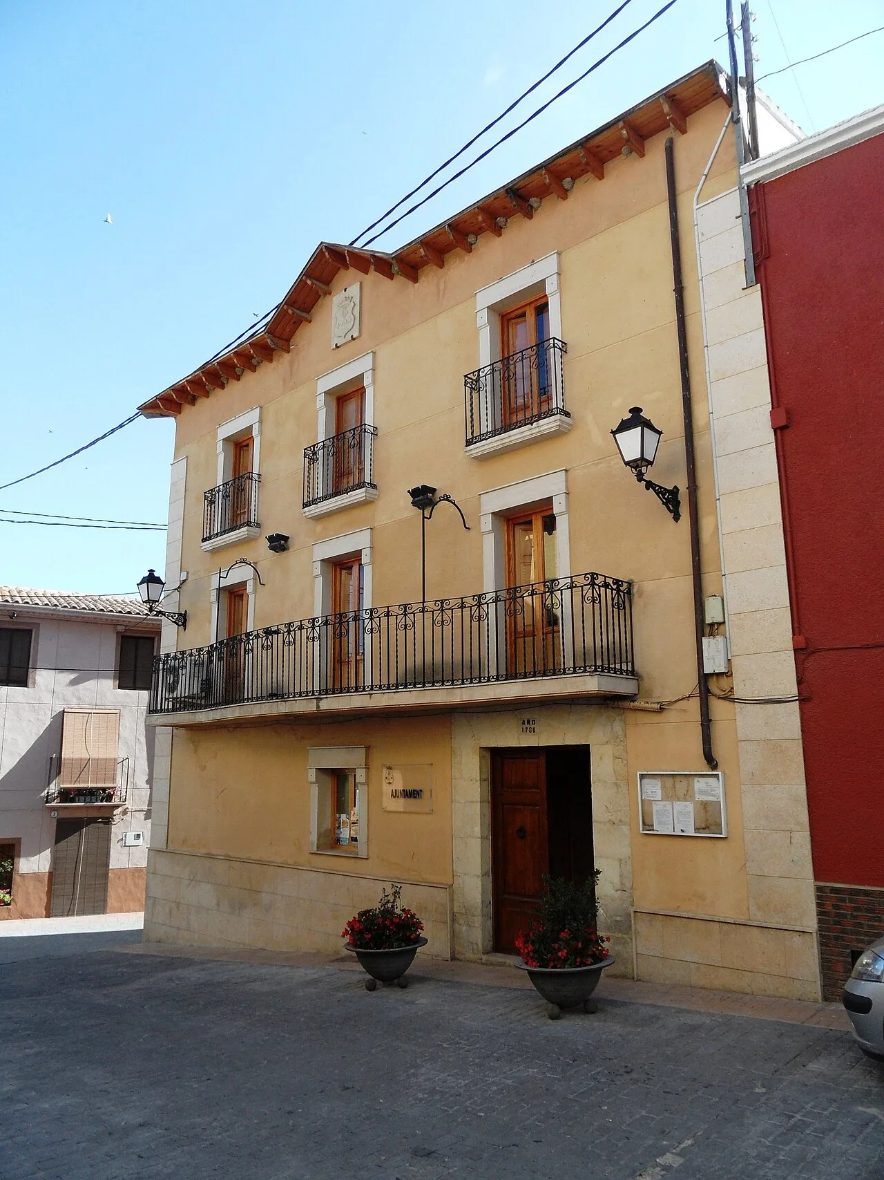
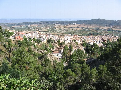
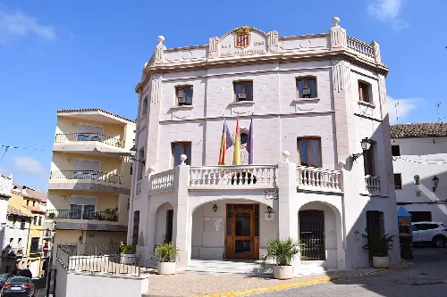
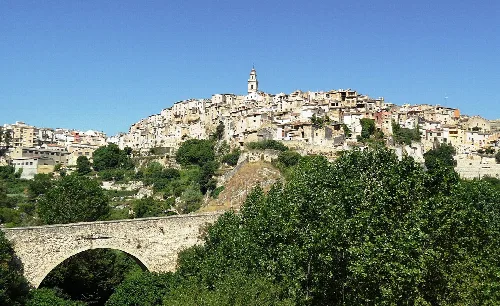
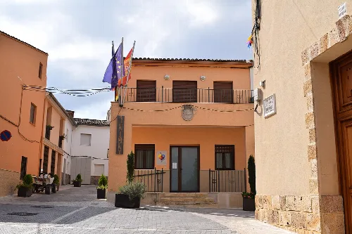
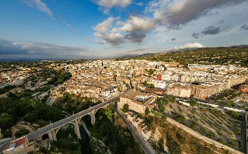
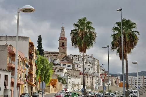
Alfafara is a municipality located in the province of Alicante, within the Valencian Community. Nestled at the foot of the Sierra Mariola, it is characterized by its picturesque landscapes and rich historical heritage.
02Geography
Alfafara covers an area of 19.78 km² and is situated in the northern part of Alicante province, within the Comtat comarca. The municipality lies at an elevation of 582 meters, characterized by a mix of flat areas and rugged mountainous terrain, particularly on the northern slopes of the Sierra Mariola. It is bordered by Agullent and Onteniente to the north, Bocairente to the south and west, and Agres to the east.
03History
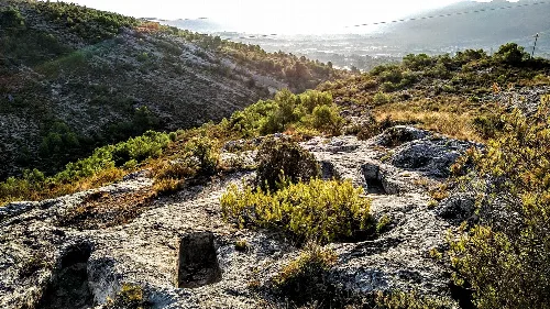
Evidence of prehistoric habitation in Alfafara dates back to the Gravetian period, with notable findings such as cave paintings. The region was later inhabited by Iberians, and its Arabic name, Alfafara, suggests a historical Muslim presence. Following the Christian conquest in the 13th century, the area transitioned through various administrative changes, ultimately becoming an independent parish in 1782.
-
Paleolithic evidence Found in the Abrigo del Molí del Pantanet.
-
Iberian settlements Located at Cabeço de Mariola and other sites.
-
Muslim period Indicated by the Arabic name and historical references.
-
Separation from Bocairente Achieved in 1632.
-
Parish independence Granted in 1782.
Alfafara is a municipality in Alicante known for its scenic beauty and historical significance, located at the foot of Sierra Mariola.
04Economy
The economy of Alfafara primarily revolves around small-scale agricultural practices, including olive cultivation, fruit trees, and cereal production. Livestock farming is also significant, with most activities being domestic. Additionally, the service sector has developed, offering various local businesses and tourism-related services.
- Main agricultural products
- Olive oil, fruits, and cereals.
- Number of local businesses
- 17 as of 2020.
- Livestock farming
- Predominantly domestic.
05Cultural Heritage
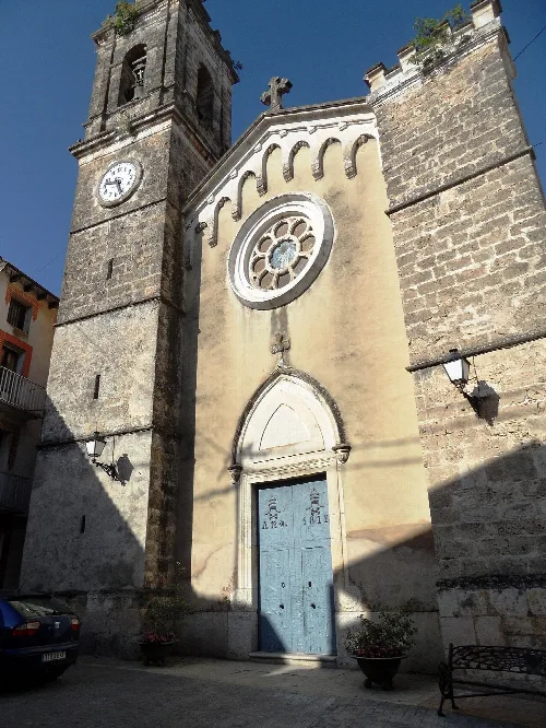
Alfafara boasts several notable sites, including the Iglesia de la Transfiguración del Señor, a Romanesque church, and the Cueva de las Ventanas, a significant natural cave. The area is rich in archaeological remains from various historical periods, reflecting its long-standing cultural significance.
-
Iglesia de la Transfiguración del Señor Romanesque style church.
-
Cueva de las Ventanas Natural cave of high value.
-
Fuente de Dos Chorros Symbol of the village.
-
Molino Rupestre Rock-excavated mill over 400 years old.
-
Ermita del Santo Cristo de la Piedad Significant religious site.
Alfafara · Data
- Autonomous community
-
Valencian Community
- Population
-
419
- Area
-
19.78 km²
- Elevation
-
582 m
- Postal code
-
03838
- Coordinates
-
38.7725, -0.5561
 espana.net