What can you tell me about Praia de Broña?
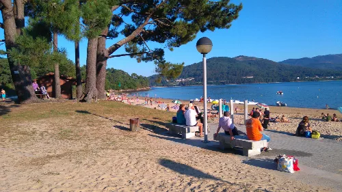
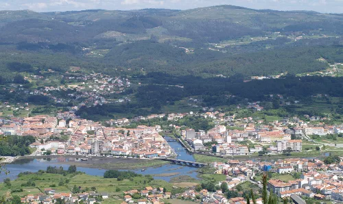
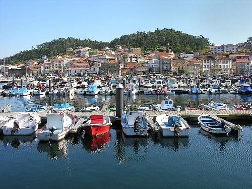
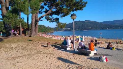
Praia de Broña is the largest beach in Outes and is popular for its excellent access and amenities. It features extensive parking, green areas, restaurants, and a 1 km long promenade along the beach. The beach is known for its calm waters, making it safe for swimming, and is equipped with lifeguard services. It stretches 500 meters and has fine white sand, sheltered from northern winds.
Nature
Praia de Broña
What historical sites are there in Outes?
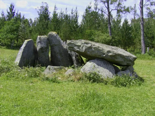
Outes is rich in history, with evidence of prehistoric habitation such as castros, megaliths, and petroglyphs. Notable sites include the remains of ancient settlements like San Orente and the medieval Ponte Nafonso bridge, which connects Outes to Noya. The area also reflects Roman influence through ancient roads and has a history of Viking and Muslim incursions during the Middle Ages.
History
What is the significance of the Ponte Nafonso?
Ponte Nafonso is a medieval bridge that spans the Tambre River, serving as a historic connection between the municipalities of Outes and Noya. It is notable for its architectural design and historical importance, symbolizing the region's long-standing connectivity and trade routes. The bridge is also surrounded by beautiful natural scenery, enhancing its appeal.
History
Ponte Nafonso
Are there any local festivals in Outes?
Outes hosts several local festivals throughout the year, celebrating various saints and cultural traditions. Notable events include the Fiesta del Pampallín on April 30, San Juan on June 24, and the Fiesta del Amanecer de Broña on the second Saturday of August. These festivals often involve communal activities, music, and local cuisine, reflecting the region's cultural heritage.
Festivals & events
What is the climate like in Outes?
Outes experiences a humid oceanic climate due to its proximity to the Atlantic Ocean. Precipitation levels range from 1000 mm near the coast to 2000 mm in higher areas, with the wettest months occurring from November to March. Summers are warmer and drier, while temperatures vary significantly between coastal and elevated regions, averaging around 13 °C.
Nature
What types of agriculture are practiced in Outes?
Agriculture in Outes primarily focuses on livestock and crop cultivation. The interior regions are dominated by cattle farming for milk and meat production, while coastal areas engage in vegetable farming for local consumption. Additionally, there is a notable presence of eucalyptus plantations, although traditional Atlantic forest species are less common.
Food & drink
For residents
What can you tell me about the geology of Outes?
The geology of Outes is characterized by granite rock formations, with slate and alluvial plains along the Tins and Donas rivers. The terrain varies significantly, with high altitudes in the northern part of the municipality, where mountains reach around 500 meters. This geological diversity influences the local ecosystem and agricultural practices.
Nature
For residents
What is the capital of Outes?
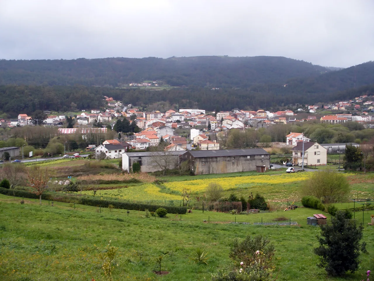
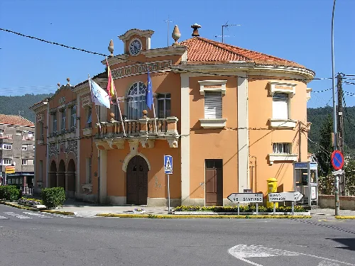
The capital of Outes is A Serra de Outes, which is also the most populated locality within the municipality. It serves as the center of municipal life and administration, housing various services and facilities that cater to the local population. The area is characterized by its traditional architecture and community atmosphere.
Living there
For residents
How many parishes are there in Outes?
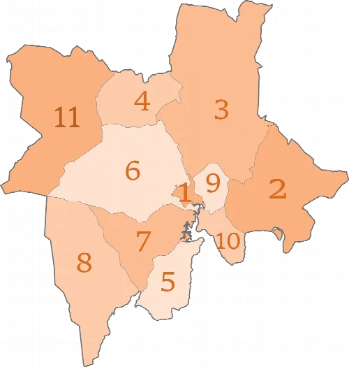
Outes comprises 10 parishes, which include Cando, Entines, Matasueiro, Outeiro, and others. Each parish has its own unique characteristics and local communities, contributing to the overall cultural and social fabric of the municipality. The distribution of these parishes reflects the historical and geographical diversity of the area.
Practical
For residents
What is the main economic activity in Outes?
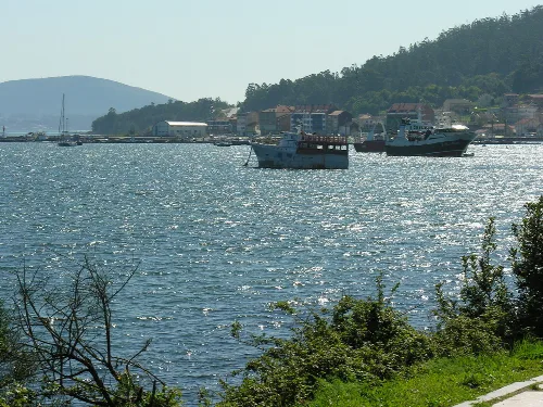
The economy of Outes is primarily driven by fishing, shellfish harvesting, and agriculture, alongside industrial activities. The fishing sector is concentrated in the port of O Freixo, while agriculture focuses on livestock and crop production. Additionally, industries such as sawmills and construction play a significant role in the local economy.
Food & drink
For residents
 espana.net