Montehermoso is a municipality located in the province of Cáceres, Extremadura, characterized by its agricultural heritage and rich traditions. Nestled along the Alagón River, it serves as a hub for surrounding smaller towns and boasts a vibrant local culture.
02Geography
Montehermoso is situated in the Alagón Valley, in the northwest region of Extremadura. The municipality is predominantly flat, with its elevation at 394 meters, and is bordered by the Alagón River to the east. The area features several notable water bodies, including the embalses of Montehermoso and Montehermoso-Valdeobispo.
Distance to Plasencia
24 km
Distance to Cáceres
90 km
Highest point
Teso Alto at 504 m
Main river
Alagón
Protected area
Dehesa Boyal
03History
Founded in the 13th century, Montehermoso began as a small village within the Lordship of Galisteo. Over the centuries, it evolved from a primarily agricultural community into a more modern municipality, officially established in 1834. The town's growth was influenced by its strategic location and the development of local services.
1300 Foundation as a village in the Lordship of Galisteo.
1834 Constitution as an independent municipality.
1951 Discovery of a Roman-era oven and sepultures.
1974 Approval of the municipal coat of arms.
2014 Dehesa Boyal declared a peri-urban park.
Montehermoso, a municipality in Cáceres, is known for its agricultural heritage and rich traditions along the Alagón River.
04Culture and Traditions
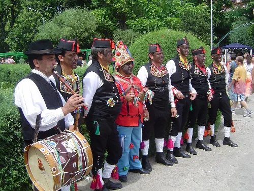
Montehermoso is known for its rich cultural heritage, earning the nickname 'Cuna del Tipismo Extremeño'. The town is particularly famous for its traditional crafts, including the production of Montehermoso hats and Rivera bells, as well as its folklore, notably the festival of Los Negritos de San Blas.
Patron saint
San Blas
Festival of Interest
Los Negritos de San Blas
Local crafts
Hats and bells
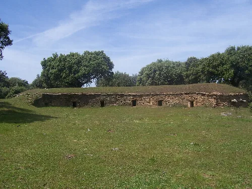
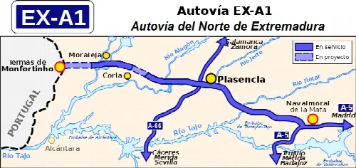
Zahurda in the Montehermoso bovine pasture, Cáceres, Spain.Map of the EX-A1 highway route in Cáceres province, showing connections to other roads and cities.
05Economy
The economy of Montehermoso is primarily based on agriculture, with a significant portion of the population engaged in farming and livestock. In recent decades, the town has seen growth in the service sector, attracting residents from smaller surrounding villages.
Main agricultural products
Wheat, barley, olives
Number of active businesses
444
Percentage of land for pastures
65.3%
06Natural Environment
Montehermoso is characterized by its diverse natural environment, including the Alagón River and various water bodies such as embalses and lagunas. The Dehesa Boyal, a protected area, is notable for its rich biodiversity and archaeological sites.
Main water bodies Alagón River, embalses of Montehermoso and Montehermoso-Valdeobispo
Notable flora Encinas, alcornoques, robles
Archaeological sites Dolmens from the IV millennium B.C.
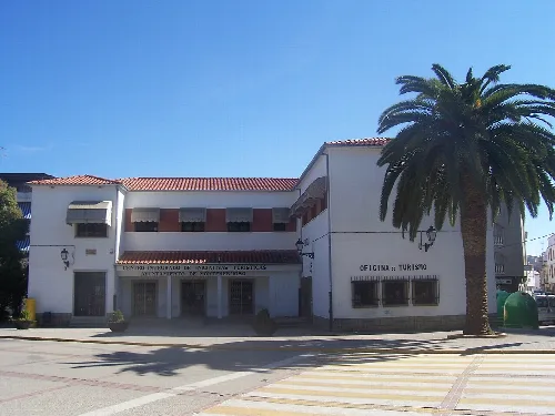
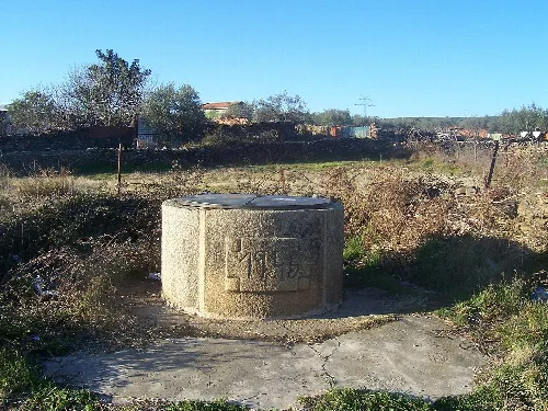
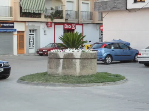
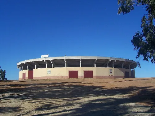
Tourist initiatives center and tourism office building in Montehermoso, Cáceres.Capricho Well in Montehermoso, Cáceres, with a stone structure and engraved symbol.Brocal del Pozo Encima in Plaza Cassio y Sanz, Montehermoso, surrounded by cars and with a plant in the center.Montehermoso bullring with a circular structure and seating at the top.Dancers from Montehermoso, known as "Los negritos", in a traditional celebration.
Frequently asked questions
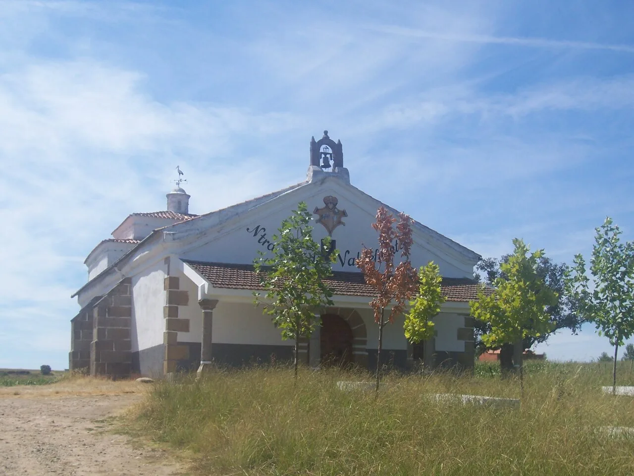
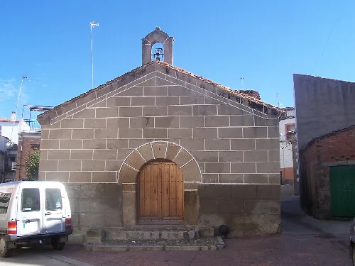
What can you tell me about the Ermita de Nuestra Señora de Valdefuentes?
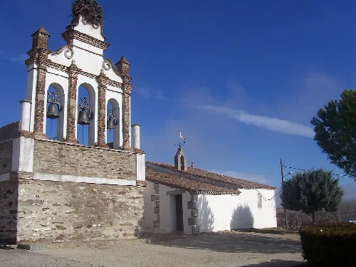
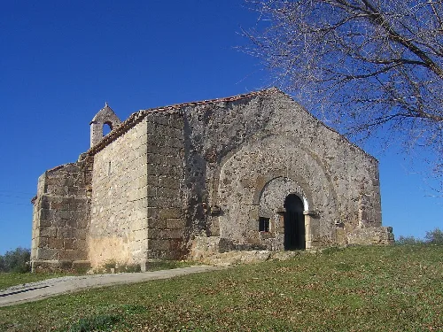
The Ermita de Nuestra Señora de Valdefuentes is a notable chapel located in Montehermoso. It serves as a religious site and is part of the local heritage. The chapel is set in a picturesque landscape, reflecting the traditional architecture of the region. It is a place of worship and community gatherings, showcasing the cultural significance of religious structures in the area.
What is a zahurda, and where can I find one in Montehermoso?
A zahurda is a traditional pigsty used for housing pigs, typically found in rural areas. In Montehermoso, you can find these structures in the dehesa boyal, where they were historically used by farmers. They represent the agricultural heritage of the region and are an interesting aspect of local culture and history.
Montehermoso was founded in the 13th century as a small village under the Lordship of Galisteo. Initially reliant on agriculture, it remained isolated until the mid-20th century. The population grew, and modernization began, leading to the establishment of various public services. Today, it is the most populated municipality in its region, blending tradition with modernity.
What is the significance of the local festival, Los Negritos de San Blas?
Los Negritos de San Blas is a traditional festival in Montehermoso recognized as a Fiesta de Interés Turístico Regional. It celebrates local folklore and cultural identity, featuring unique dances and customs that reflect the community's heritage. The festival attracts visitors and fosters a sense of pride among residents.
What are the main agricultural products of Montehermoso?
Montehermoso is primarily an agricultural community, producing a variety of crops including wheat, barley, and olives. Livestock farming is also significant, with cattle, sheep, and pigs being raised. This agricultural diversity supports the local economy and maintains traditional practices that have been passed down through generations.
Is there any natural park or protected area in Montehermoso?
Yes, Montehermoso is home to a protected natural area known as the dehesa boyal, which was declared a peri-urban park in 2014. This area covers approximately 1125 hectares and features a variety of trees, including oaks and cork oaks. It is a vital ecological space that supports local wildlife and offers recreational opportunities for residents and visitors.
The main river in Montehermoso is the río Alagón, which forms the eastern boundary of the municipality. It plays a crucial role in the local ecosystem and agriculture, providing irrigation for crops and serving as a natural resource for the community. The river also contributes to the picturesque landscape surrounding the town.
What is the Centro de Iniciativas Turísticas in Montehermoso?
The Centro de Iniciativas Turísticas, also known as the teleclub, serves as a community hub in Montehermoso. It is a place where locals can gather for various activities and events, promoting tourism and local initiatives. This center plays a key role in fostering community engagement and supporting local culture.
How did the geography of Montehermoso influence its development?
Montehermoso is situated in a flat area near the río Alagón, which has historically influenced its agricultural practices. The fertile land allowed for the cultivation of various crops, while the river provided essential water resources. Its geographical position also shaped its isolation until modern infrastructure improved connectivity with nearby towns.
What are the notable historical remains found in Montehermoso?
Montehermoso features several historical remains, including Roman structures like a bridge and a tejar. Additionally, there are megalithic dolmens in the dehesa boyal, dating back to the IV millennium B.C. These archaeological sites reflect the rich history of human settlement in the area and attract researchers and history enthusiasts.
 espana.net